Loading...
Searching...
No Matches
◆ asgeojson_geom_buf()
|
static |
Definition at line 679 of file lwout_geojson.c.
680{
682 char *ptr=output;
683
684 switch (type)
685 {
688 break;
689
692 break;
693
696 break;
697
700 break;
701
704 break;
705
708 break;
709
712 break;
713
714 default:
717 }
718
719 return (ptr-output);
720}
static size_t asgeojson_multiline_buf(const LWMLINE *mline, char *srs, char *output, GBOX *bbox, int precision)
Definition lwout_geojson.c:469
static size_t asgeojson_poly_buf(const LWPOLY *poly, char *srs, char *output, GBOX *bbox, int precision)
Definition lwout_geojson.c:340
static size_t asgeojson_multipoint_buf(const LWMPOINT *mpoint, char *srs, char *output, GBOX *bbox, int precision)
Definition lwout_geojson.c:404
static size_t asgeojson_line_buf(const LWLINE *line, char *srs, char *output, GBOX *bbox, int precision)
Definition lwout_geojson.c:285
static size_t asgeojson_point_buf(const LWPOINT *point, char *srs, char *output, GBOX *bbox, int precision)
Definition lwout_geojson.c:187
static size_t asgeojson_multipolygon_buf(const LWMPOLY *mpoly, char *srs, char *output, GBOX *bbox, int precision)
Definition lwout_geojson.c:542
static size_t asgeojson_triangle_buf(const LWTRIANGLE *tri, char *srs, char *output, GBOX *bbox, int precision)
Definition lwout_geojson.c:237
Definition liblwgeom.h:467
Definition liblwgeom.h:531
Definition liblwgeom.h:517
Definition liblwgeom.h:545
Definition liblwgeom.h:455
Definition liblwgeom.h:503
Definition liblwgeom.h:479
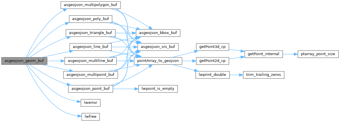
References asgeojson_line_buf(), asgeojson_multiline_buf(), asgeojson_multipoint_buf(), asgeojson_multipolygon_buf(), asgeojson_point_buf(), asgeojson_poly_buf(), asgeojson_triangle_buf(), LINETYPE, lwerror(), lwfree(), MULTILINETYPE, MULTIPOINTTYPE, MULTIPOLYGONTYPE, POINTTYPE, POLYGONTYPE, precision, TRIANGLETYPE, and LWGEOM::type.
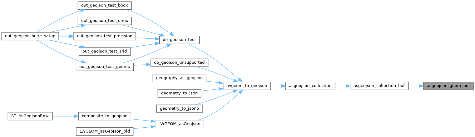
Referenced by asgeojson_collection_buf().
Here is the call graph for this function:
Here is the caller graph for this function: