Loading...
Searching...
No Matches
◆ asgeojson_multipolygon_buf()
|
static |
Definition at line 542 of file lwout_geojson.c.
543{
544 LWPOLY *poly;
545 uint32_t i, j;
546 char *ptr=output;
547
548 ptr += sprintf(ptr, "{\"type\":\"MultiPolygon\",");
551 ptr += sprintf(ptr, "\"coordinates\":[");
553 {
554 if (i) ptr += sprintf(ptr, ",");
555 ptr += sprintf(ptr, "[");
556 poly = mpoly->geoms[i];
558 {
559 if (j) ptr += sprintf(ptr, ",");
560 ptr += sprintf(ptr, "[");
562 ptr += sprintf(ptr, "]");
563 }
564 ptr += sprintf(ptr, "]");
565 }
566 ptr += sprintf(ptr, "]}");
567
568 return (ptr - output);
569}
static size_t pointArray_to_geojson(POINTARRAY *pa, char *buf, int precision)
Definition lwout_geojson.c:723
static size_t asgeojson_srs_buf(char *output, char *srs)
Definition lwout_geojson.c:111
static size_t asgeojson_bbox_buf(char *output, GBOX *bbox, int hasz, int precision)
Definition lwout_geojson.c:146
Definition liblwgeom.h:503
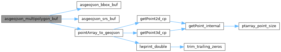
References asgeojson_bbox_buf(), asgeojson_srs_buf(), LWMPOLY::flags, FLAGS_GET_Z, LWMPOLY::geoms, LWMPOLY::ngeoms, LWPOLY::nrings, pointArray_to_geojson(), precision, and LWPOLY::rings.
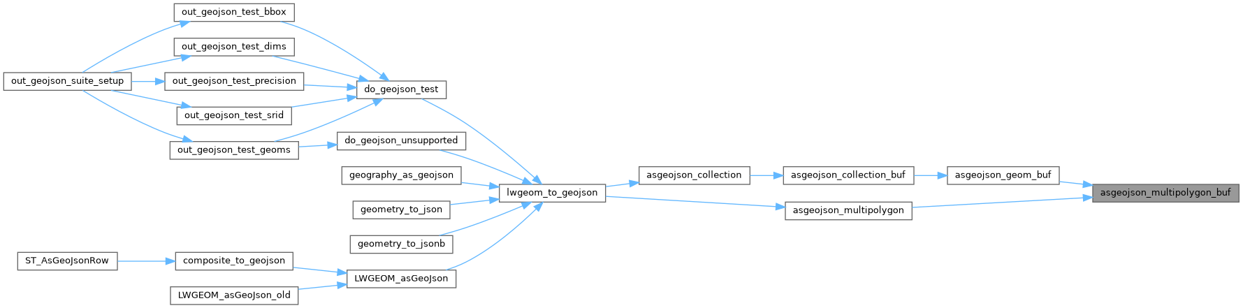
Referenced by asgeojson_geom_buf(), and asgeojson_multipolygon().
Here is the call graph for this function:
Here is the caller graph for this function: