Loading...
Searching...
No Matches
◆ asgeojson_multiline_buf()
|
static |
Definition at line 469 of file lwout_geojson.c.
470{
471 LWLINE *line;
472 uint32_t i;
473 char *ptr=output;
474
475 ptr += sprintf(ptr, "{\"type\":\"MultiLineString\",");
478 ptr += sprintf(ptr, "\"coordinates\":[");
479
481 {
482 if (i) ptr += sprintf(ptr, ",");
483 ptr += sprintf(ptr, "[");
484 line = mline->geoms[i];
486 ptr += sprintf(ptr, "]");
487 }
488
489 ptr += sprintf(ptr, "]}");
490
491 return (ptr - output);
492}
static size_t pointArray_to_geojson(POINTARRAY *pa, char *buf, int precision)
Definition lwout_geojson.c:723
static size_t asgeojson_srs_buf(char *output, char *srs)
Definition lwout_geojson.c:111
static size_t asgeojson_bbox_buf(char *output, GBOX *bbox, int hasz, int precision)
Definition lwout_geojson.c:146
Definition liblwgeom.h:467
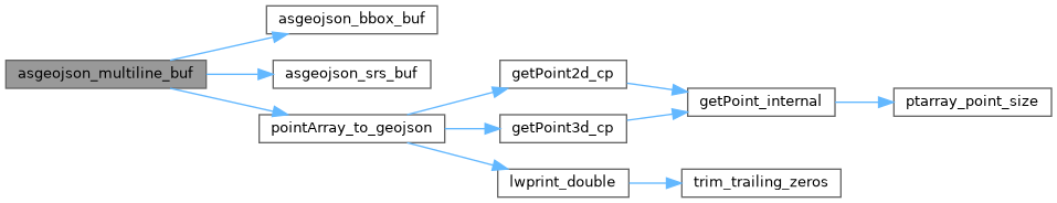
References asgeojson_bbox_buf(), asgeojson_srs_buf(), LWMLINE::flags, FLAGS_GET_Z, LWMLINE::geoms, LWMLINE::ngeoms, pointArray_to_geojson(), LWLINE::points, and precision.
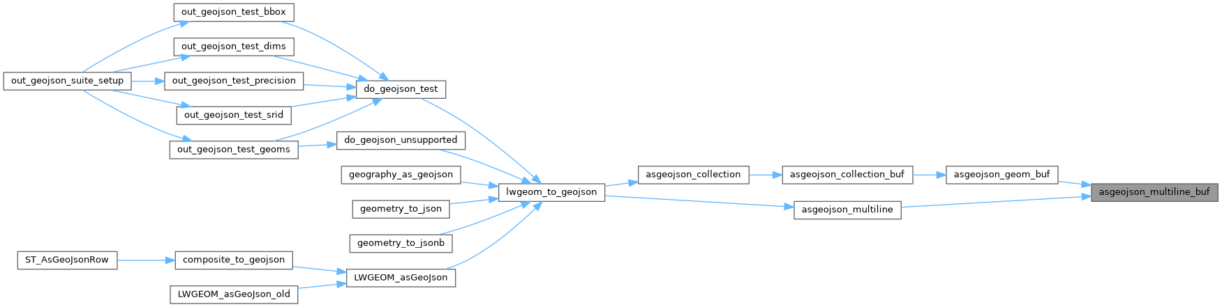
Referenced by asgeojson_geom_buf(), and asgeojson_multiline().
Here is the call graph for this function:
Here is the caller graph for this function: