Loading...
Searching...
No Matches
◆ geometry_distance_spheroid()
| Datum geometry_distance_spheroid | ( | PG_FUNCTION_ARGS | ) |
Definition at line 482 of file lwgeom_spheroid.c.
483{
484 GSERIALIZED *geom1 = PG_GETARG_GSERIALIZED_P(0);
485 GSERIALIZED *geom2 = PG_GETARG_GSERIALIZED_P(1);
489 bool use_spheroid = PG_GETARG_BOOL(3);
490 LWGEOM *lwgeom1, *lwgeom2;
492 gserialized_error_if_srid_mismatch(geom1, geom2, __func__);
493
494 /* Calculate some other parameters on the spheroid */
496
497 /* Catch sphere special case and re-jig spheroid appropriately */
498 if ( ! use_spheroid )
499 {
501 }
502
505 {
506 elog(ERROR, "geometry_distance_spheroid: Only point/line/polygon supported.\n");
507 PG_RETURN_NULL();
508 }
509
512 {
513 elog(ERROR, "geometry_distance_spheroid: Only point/line/polygon supported.\n");
514 PG_RETURN_NULL();
515 }
516
517 /* Get #LWGEOM structures */
518 lwgeom1 = lwgeom_from_gserialized(geom1);
519 lwgeom2 = lwgeom_from_gserialized(geom2);
520
521 /* We are going to be calculating geodetic distances */
524
526
527 PG_RETURN_FLOAT8(distance);
528
529}
void gserialized_error_if_srid_mismatch(const GSERIALIZED *g1, const GSERIALIZED *g2, const char *funcname)
Definition gserialized.c:404
LWGEOM * lwgeom_from_gserialized(const GSERIALIZED *g)
Allocate a new LWGEOM from a GSERIALIZED.
Definition gserialized.c:239
uint32_t gserialized_get_type(const GSERIALIZED *g)
Extract the geometry type from the serialized form (it hides in the anonymous data area,...
Definition gserialized.c:89
void lwgeom_set_geodetic(LWGEOM *geom, int value)
Set the FLAGS geodetic bit on geometry an all sub-geometries and pointlists.
Definition lwgeom.c:946
double lwgeom_distance_spheroid(const LWGEOM *lwgeom1, const LWGEOM *lwgeom2, const SPHEROID *spheroid, double tolerance)
Calculate the geodetic distance from lwgeom1 to lwgeom2 on the spheroid.
Definition lwgeodetic.c:2187
void spheroid_init(SPHEROID *s, double a, double b)
Initialize a spheroid object for use in geodetic functions.
Definition lwspheroid.c:39
Definition liblwgeom.h:429
Definition liblwgeom.h:443
Definition liblwgeom.h:360
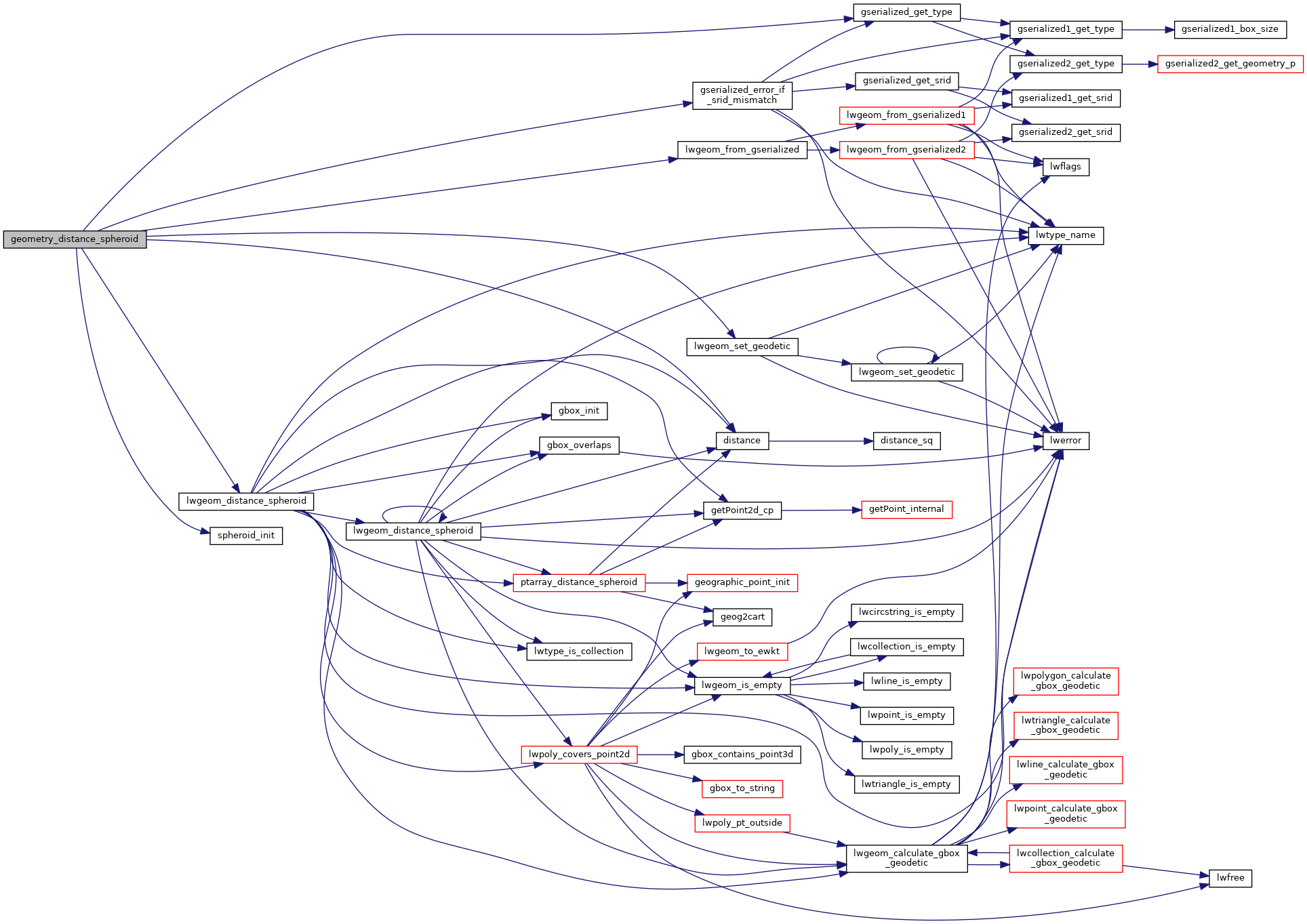
References SPHEROID::a, SPHEROID::b, distance(), gserialized_error_if_srid_mismatch(), gserialized_get_type(), LINETYPE, LW_TRUE, lwgeom_distance_spheroid(), lwgeom_from_gserialized(), lwgeom_set_geodetic(), MULTILINETYPE, MULTIPOINTTYPE, MULTIPOLYGONTYPE, POINTTYPE, POLYGONTYPE, SPHEROID::radius, and spheroid_init().
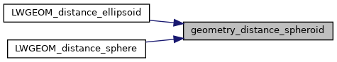
Referenced by LWGEOM_distance_ellipsoid(), and LWGEOM_distance_sphere().
Here is the call graph for this function:
Here is the caller graph for this function: