◆ distance()
|
inlinestatic |
Definition at line 1032 of file lwtree.c.
References distance_sq().
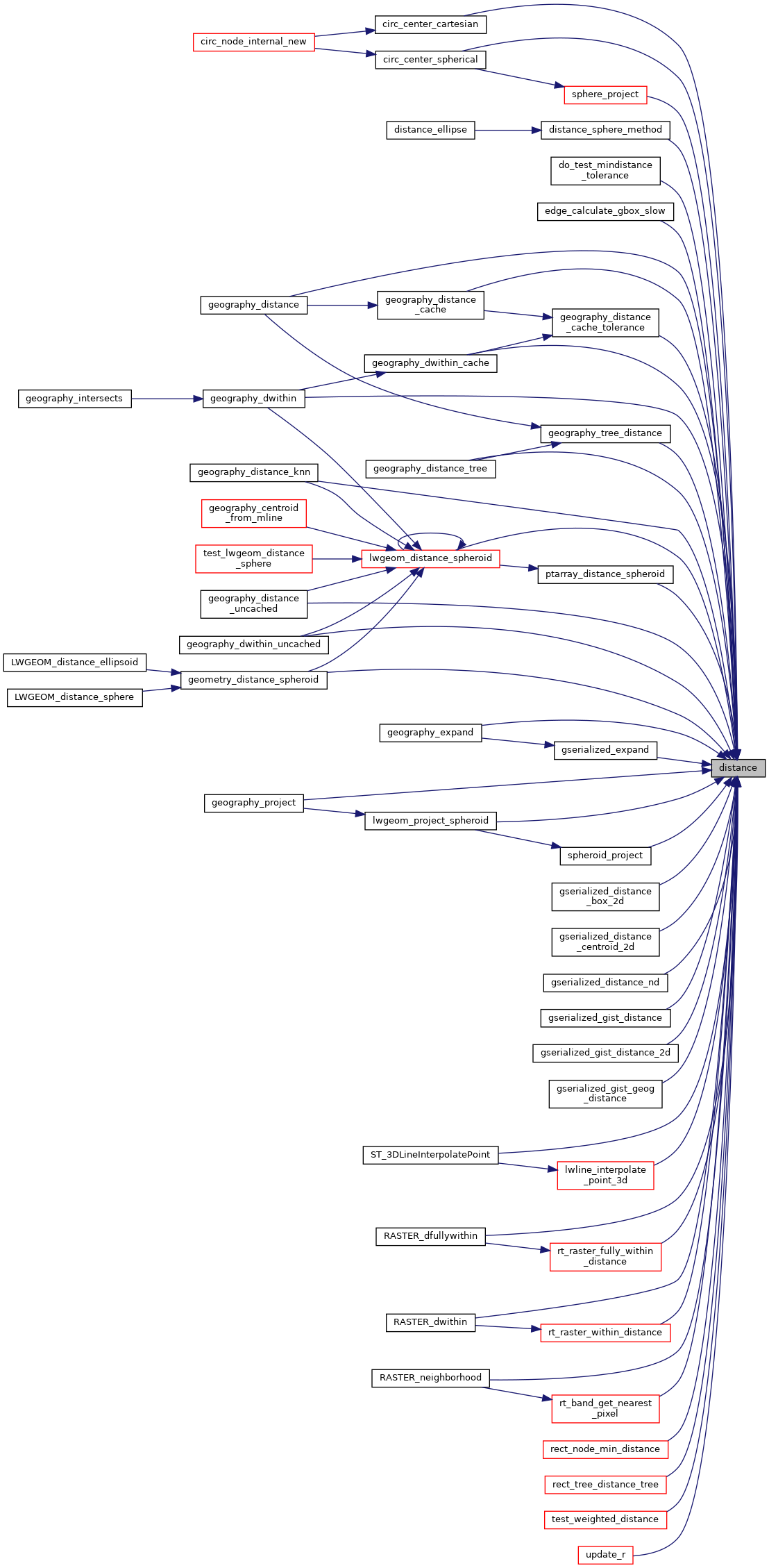
Referenced by circ_center_cartesian(), circ_center_spherical(), distance_sphere_method(), do_test_mindistance_tolerance(), edge_calculate_gbox_slow(), geography_distance(), geography_distance_cache(), geography_distance_cache_tolerance(), geography_distance_knn(), geography_distance_tree(), geography_distance_uncached(), geography_dwithin(), geography_dwithin_cache(), geography_dwithin_uncached(), geography_expand(), geography_project(), geography_tree_distance(), geometry_distance_spheroid(), gserialized_distance_box_2d(), gserialized_distance_centroid_2d(), gserialized_distance_nd(), gserialized_expand(), gserialized_gist_distance(), gserialized_gist_distance_2d(), gserialized_gist_geog_distance(), lwgeom_distance_spheroid(), lwgeom_project_spheroid(), lwline_interpolate_point_3d(), ptarray_distance_spheroid(), RASTER_dfullywithin(), RASTER_dwithin(), RASTER_neighborhood(), rect_node_min_distance(), rect_tree_distance_tree(), rt_band_get_nearest_pixel(), rt_raster_fully_within_distance(), rt_raster_within_distance(), sphere_project(), spheroid_project(), ST_3DLineInterpolatePoint(), test_weighted_distance(), and update_r().

