Loading...
Searching...
No Matches
◆ lwgeom_project_spheroid()
| LWPOINT * lwgeom_project_spheroid | ( | const LWPOINT * | r, |
| const SPHEROID * | spheroid, | ||
| double | distance, | ||
| double | azimuth | ||
| ) |
Calculate a projected point given a source point, a distance and a bearing.
Calculate the location of a point on a spheroid, give a start point, bearing and distance.
- Parameters
-
r - location of first point. spheroid - spheroid definition. distance - distance, in units of the spheroid def'n. azimuth - azimuth in radians.
- Returns
- s - location of projected point.
Definition at line 1967 of file lwgeodetic.c.
1968{
1969 GEOGRAPHIC_POINT geo_source, geo_dest;
1970 POINT4D pt_dest;
1972 LWPOINT *lwp;
1973 int has_z, has_m;
1974
1975 /* Normalize distance to be positive*/
1978 azimuth += M_PI;
1979 }
1980
1981 /* Normalize azimuth */
1982 azimuth -= 2.0 * M_PI * floor(azimuth / (2.0 * M_PI));
1983
1984 /* Check the distance validity */
1986 {
1988 return NULL;
1989 }
1990
1991 /* Convert to ta geodetic point */
1996 geographic_point_init(x, y, &geo_source);
1997
1998 /* Try the projection */
2000 {
2001 LWDEBUGF(3, "Unable to project from (%g %g) with azimuth %g and distance %g", x, y, azimuth, distance);
2002 lwerror("Unable to project from (%g %g) with azimuth %g and distance %g", x, y, azimuth, distance);
2003 return NULL;
2004 }
2005
2006 /* Build the output LWPOINT */
2013 return lwp;
2014}
void lwgeom_set_geodetic(LWGEOM *geom, int value)
Set the FLAGS geodetic bit on geometry an all sub-geometries and pointlists.
Definition lwgeom.c:992
int lwgeom_has_z(const LWGEOM *geom)
Return LW_TRUE if geometry has Z ordinates.
Definition lwgeom.c:962
LWPOINT * lwpoint_make(int32_t srid, int hasz, int hasm, const POINT4D *p)
Definition lwpoint.c:206
int lwgeom_has_m(const LWGEOM *geom)
Return LW_TRUE if geometry has M ordinates.
Definition lwgeom.c:969
double longitude_radians_normalize(double lon)
Convert a longitude to the range of -PI,PI.
Definition lwgeodetic.c:50
double latitude_radians_normalize(double lat)
Convert a latitude to the range of -PI/2,PI/2.
Definition lwgeodetic.c:78
void geographic_point_init(double lon, double lat, GEOGRAPHIC_POINT *g)
Initialize a geographic point.
Definition lwgeodetic.c:180
int spheroid_project(const GEOGRAPHIC_POINT *r, const SPHEROID *spheroid, double distance, double azimuth, GEOGRAPHIC_POINT *g)
Given a location, an azimuth and a distance, computes the location of the projected point.
Definition lwspheroid.c:128
void void lwerror(const char *fmt,...) __attribute__((format(printf
Write a notice out to the error handler.
Definition liblwgeom.h:469
Definition liblwgeom.h:413
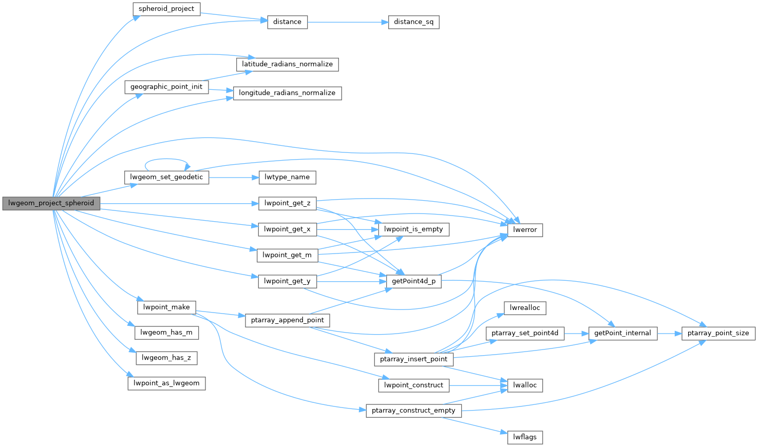
References distance(), geographic_point_init(), GEOGRAPHIC_POINT::lat, latitude_radians_normalize(), GEOGRAPHIC_POINT::lon, longitude_radians_normalize(), LW_FAILURE, LW_TRUE, LWDEBUGF, lwerror(), lwgeom_has_m(), lwgeom_has_z(), lwgeom_set_geodetic(), lwpoint_as_lwgeom(), lwpoint_get_m(), lwpoint_get_x(), lwpoint_get_y(), lwpoint_get_z(), lwpoint_make(), POINT4D::m, r, rad2deg, SPHEROID::radius, spheroid_project(), POINT4D::x, POINT4D::y, and POINT4D::z.
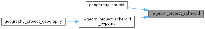
Referenced by geography_project(), and lwgeom_project_spheroid_lwpoint().
Here is the call graph for this function:
Here is the caller graph for this function: