Loading...
Searching...
No Matches
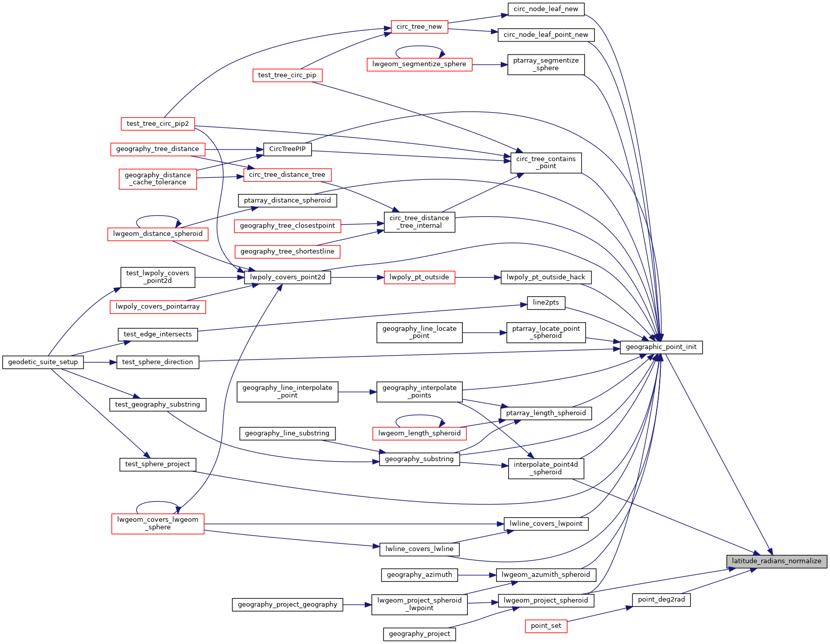
◆ latitude_radians_normalize()
| double latitude_radians_normalize | ( | double | lat | ) |
Convert a latitude to the range of -PI/2,PI/2.
Definition at line 78 of file lwgeodetic.c.
79{
80
81 if ( lat > 2.0 * M_PI )
82 lat = remainder(lat, 2.0 * M_PI);
83
84 if ( lat < -2.0 * M_PI )
85 lat = remainder(lat, -2.0 * M_PI);
86
87 if ( lat > M_PI )
88 lat = M_PI - lat;
89
90 if ( lat < -1.0 * M_PI )
91 lat = -1.0 * M_PI - lat;
92
93 if ( lat > M_PI_2 )
94 lat = M_PI - lat;
95
96 if ( lat < -1.0 * M_PI_2 )
97 lat = -1.0 * M_PI - lat;
98
99 return lat;
100}
Referenced by geographic_point_init(), interpolate_point4d_spheroid(), lwgeom_project_spheroid(), and point_deg2rad().
Here is the caller graph for this function: