◆ buffer()
| Datum buffer | ( | PG_FUNCTION_ARGS | ) |
Definition at line 1051 of file postgis/lwgeom_geos.c.
1229 "Invalid buffer parameter: %s (accept: 'endcap', 'join', 'mitre_limit', 'miter_limit', 'quad_segs' and 'side')",
int32_t gserialized_get_srid(const GSERIALIZED *g)
Extract the SRID from the serialized form (it is packed into three bytes so this is a handy function)...
Definition: gserialized.c:126
LWGEOM * lwgeom_from_gserialized(const GSERIALIZED *g)
Allocate a new LWGEOM from a GSERIALIZED.
Definition: gserialized.c:239
int gserialized_is_empty(const GSERIALIZED *g)
Check if a GSERIALIZED is empty without deserializing first.
Definition: gserialized.c:152
int gserialized_has_z(const GSERIALIZED *g)
Check if a GSERIALIZED has a Z ordinate.
Definition: gserialized.c:174
int lwgeom_isfinite(const LWGEOM *lwgeom)
Check if a LWGEOM has any non-finite (NaN or Inf) coordinates.
Definition: lwgeom.c:2681
LWPOLY * lwpoly_construct_empty(int32_t srid, char hasz, char hasm)
Definition: lwpoly.c:161
GSERIALIZED * GEOS2POSTGIS(GEOSGeom geom, char want3d)
Definition: postgis/lwgeom_geos.c:2832
GEOSGeometry * POSTGIS2GEOS(const GSERIALIZED *pglwgeom)
Definition: postgis/lwgeom_geos.c:2857
Definition: liblwgeom.h:443
Definition: liblwgeom.h:457
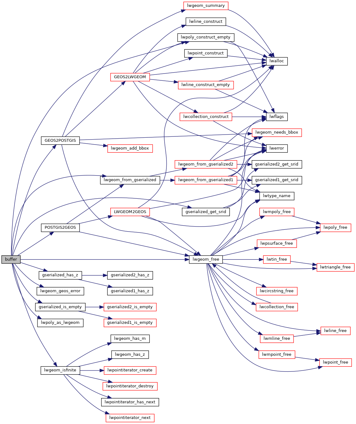
References GEOS2POSTGIS(), gserialized_get_srid(), gserialized_has_z(), gserialized_is_empty(), HANDLE_GEOS_ERROR, lwgeom_free(), lwgeom_from_gserialized(), lwgeom_geos_error(), lwgeom_isfinite(), lwpoly_as_lwgeom(), lwpoly_construct_empty(), POSTGIS2GEOS(), and result.
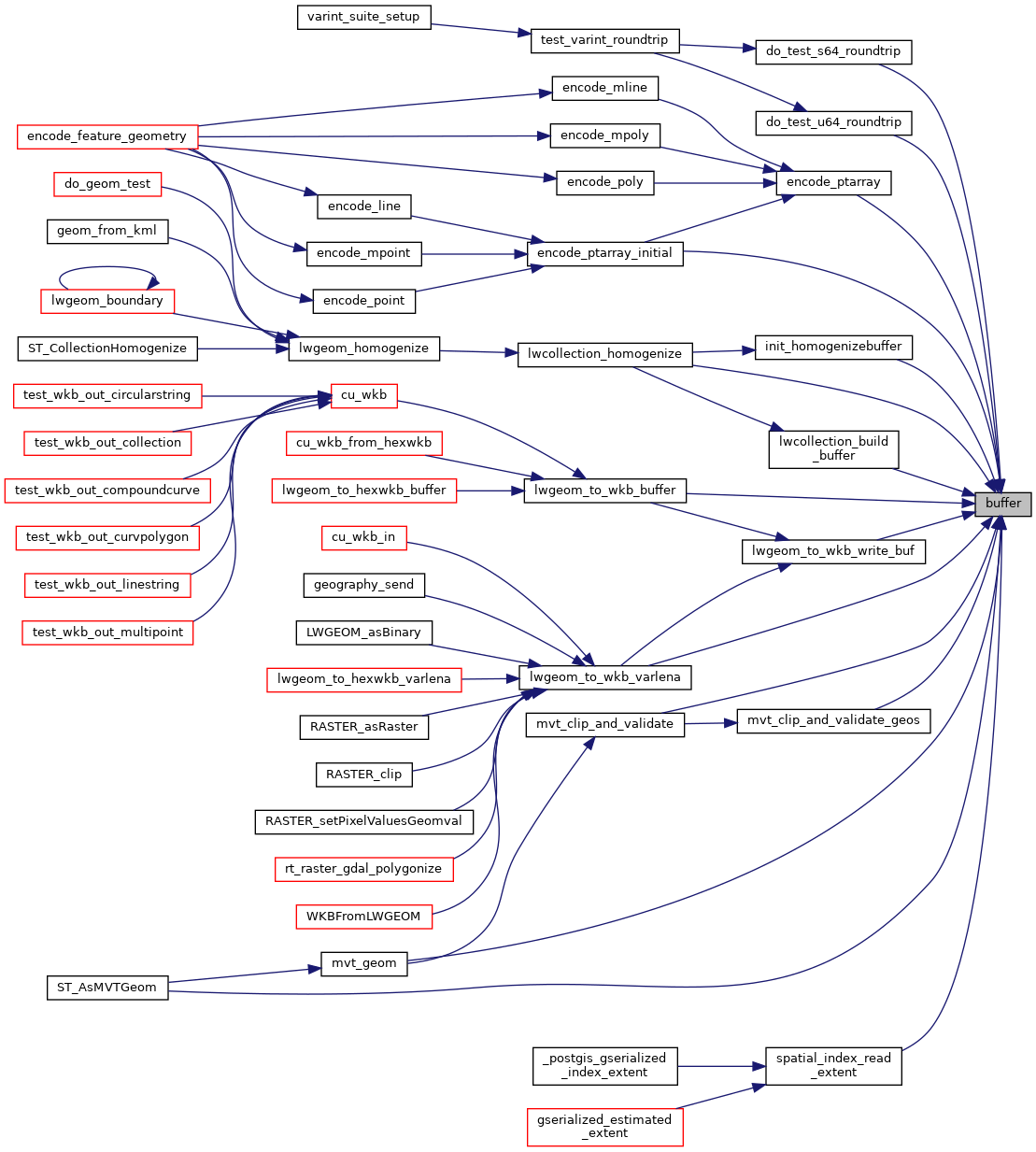
Referenced by do_test_s64_roundtrip(), do_test_u64_roundtrip(), encode_ptarray(), encode_ptarray_initial(), init_homogenizebuffer(), lwcollection_build_buffer(), lwcollection_homogenize(), lwgeom_to_wkb_buffer(), lwgeom_to_wkb_varlena(), lwgeom_to_wkb_write_buf(), mvt_clip_and_validate(), mvt_clip_and_validate_geos(), mvt_geom(), spatial_index_read_extent(), and ST_AsMVTGeom().
Here is the call graph for this function:
Here is the caller graph for this function: