◆ POSTGIS2GEOS()
| GEOSGeometry* POSTGIS2GEOS | ( | const GSERIALIZED * | pglwgeom | ) |
Definition at line 2857 of file postgis/lwgeom_geos.c.
LWGEOM * lwgeom_from_gserialized(const GSERIALIZED *g)
Allocate a new LWGEOM from a GSERIALIZED.
Definition: gserialized.c:239
GEOSGeometry * LWGEOM2GEOS(const LWGEOM *lwgeom, uint8_t autofix)
Definition: liblwgeom/lwgeom_geos.c:432
Definition: liblwgeom.h:457
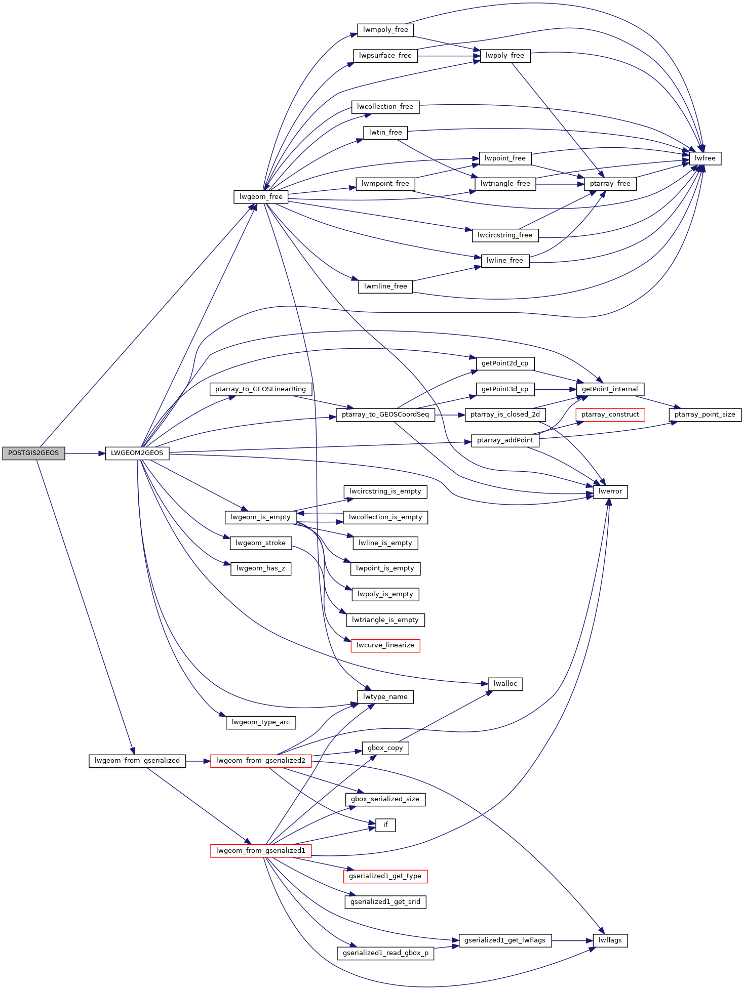
References LWGEOM2GEOS(), lwgeom_free(), and lwgeom_from_gserialized().
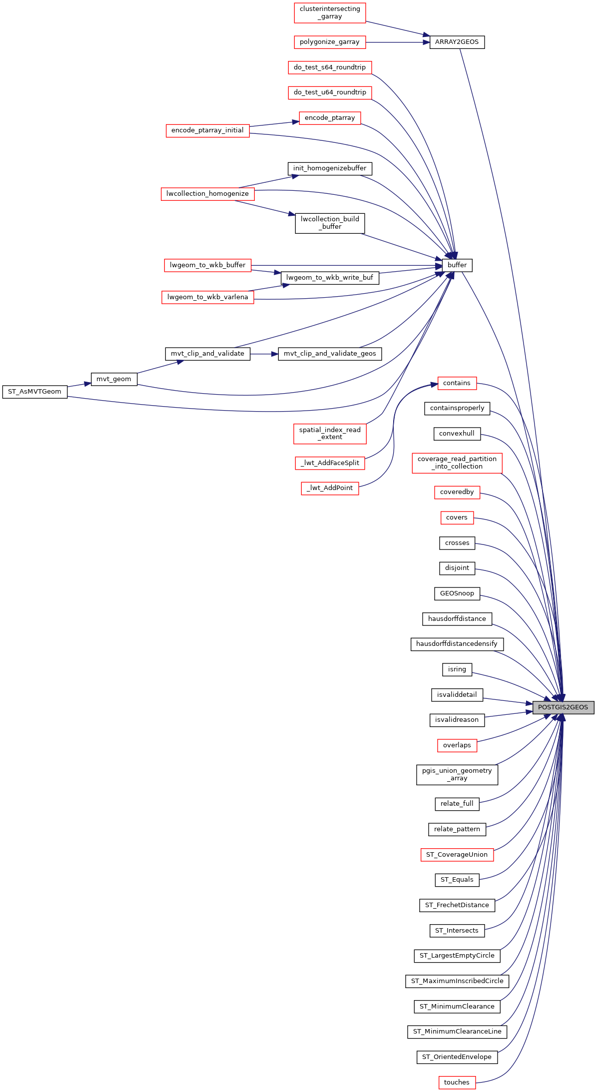
Referenced by ARRAY2GEOS(), buffer(), contains(), containsproperly(), convexhull(), coverage_read_partition_into_collection(), coveredby(), covers(), crosses(), disjoint(), GEOSnoop(), hausdorffdistance(), hausdorffdistancedensify(), isring(), isvaliddetail(), isvalidreason(), overlaps(), pgis_union_geometry_array(), relate_full(), relate_pattern(), ST_CoverageUnion(), ST_Equals(), ST_FrechetDistance(), ST_Intersects(), ST_LargestEmptyCircle(), ST_MaximumInscribedCircle(), ST_MinimumClearance(), ST_MinimumClearanceLine(), ST_OrientedEnvelope(), and touches().
Here is the call graph for this function:
Here is the caller graph for this function: