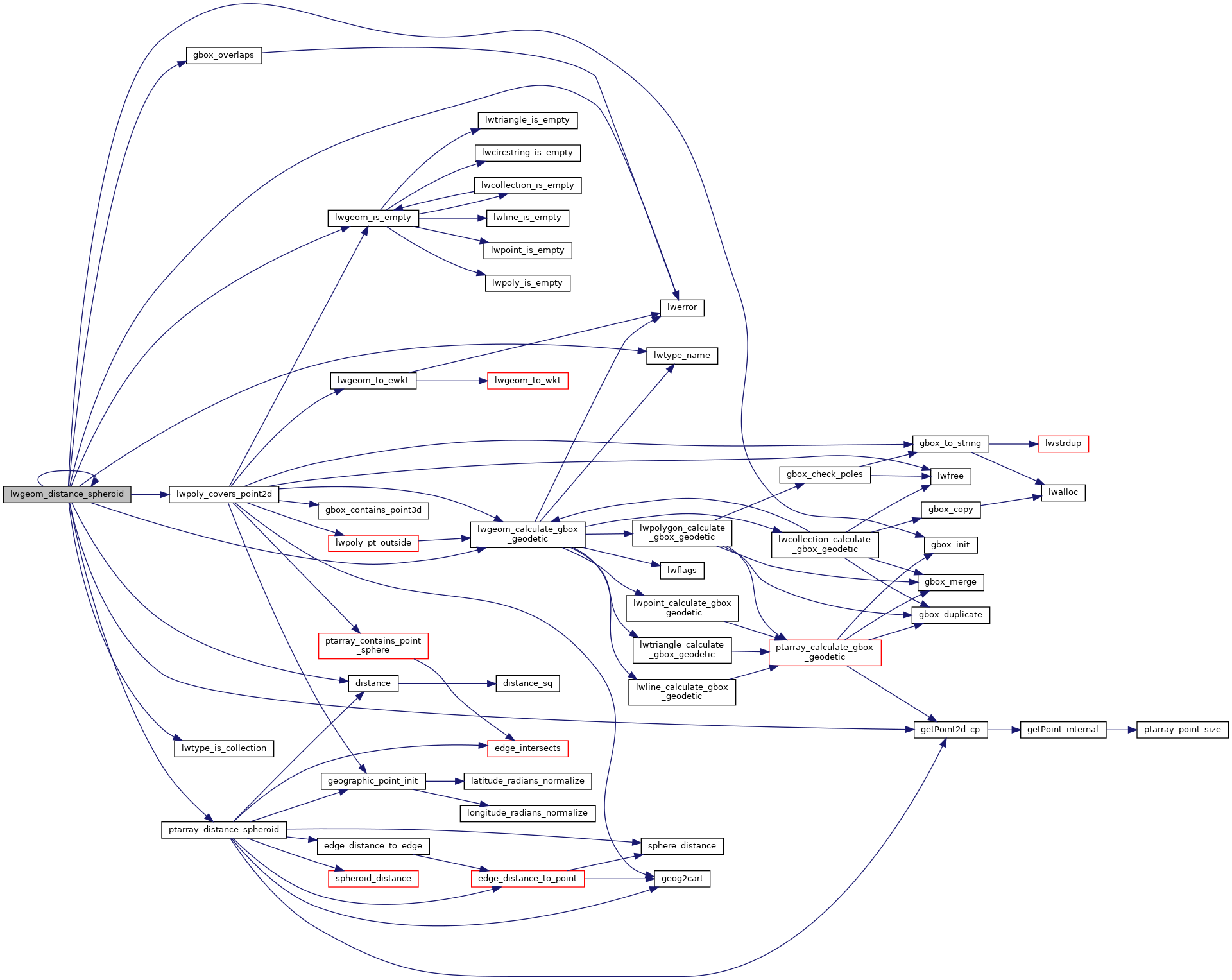
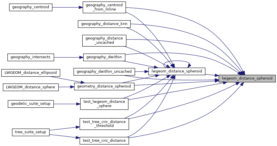
Calculate the distance between two LWGEOMs, using the coordinates are longitude and latitude.
Calculate the geodetic distance from lwgeom1 to lwgeom2 on the spheroid.
Return immediately when the calculated distance drops below the tolerance (useful for dwithin calculations). Return a negative distance for incalculable cases.
2206 uint8_t type1, type2;
2216 LWDEBUGF(4,
"entered function, tolerance %.8g", tolerance);
2225 type1 = lwgeom1->
type;
2226 type2 = lwgeom2->
type;
2229 if ( lwgeom1->
bbox )
2230 gbox1 = *(lwgeom1->
bbox);
2235 if ( lwgeom2->
bbox )
2236 gbox2 = *(lwgeom2->
bbox);
2251 pa1 = ((
LWPOINT*)lwgeom1)->point;
2253 pa1 = ((
LWLINE*)lwgeom1)->points;
2256 pa2 = ((
LWPOINT*)lwgeom2)->point;
2258 pa2 = ((
LWLINE*)lwgeom2)->points;
2276 lwpoly = (
LWPOLY*)lwgeom2;
2281 lwpoly = (
LWPOLY*)lwgeom1;
2292 for ( i = 0; i < lwpoly->
nrings; i++ )
2315 lwline = (
LWLINE*)lwgeom1;
2316 lwpoly = (
LWPOLY*)lwgeom2;
2320 lwline = (
LWLINE*)lwgeom2;
2321 lwpoly = (
LWPOLY*)lwgeom1;
2325 LWDEBUG(4,
"checking if a point of line is in polygon");
2331 LWDEBUG(4,
"checking ring distances");
2334 for ( i = 0; i < lwpoly->
nrings; i++ )
2337 LWDEBUGF(4,
"ring[%d] ring_distance = %.8g", i, ring_distance);
2367 for (i = 0; i < lwpoly1->
nrings; i++)
2369 for (j = 0; j < lwpoly2->
nrings; j++)
2371 double ring_distance =
2377 check_intersection);
2393 for ( i = 0; i < col->
ngeoms; i++ )
2396 col->
geoms[i], lwgeom2, spheroid, tolerance);
2412 for ( i = 0; i < col->
ngeoms; i++ )
int gbox_overlaps(const GBOX *g1, const GBOX *g2)
Return LW_TRUE if the GBOX overlaps, LW_FALSE otherwise.
void gbox_init(GBOX *gbox)
Zero out all the entries in the GBOX.
int lwtype_is_collection(uint8_t type)
Determine whether a type number is a collection or not.
#define POINTTYPE
LWTYPE numbers, used internally by PostGIS.
const char * lwtype_name(uint8_t type)
Return the type name string associated with a type number (e.g.
#define LW_TRUE
Return types for functions with status returns.
int lwpoly_covers_point2d(const LWPOLY *poly, const POINT2D *pt_to_test)
Given a polygon (lon/lat decimal degrees) and point (lon/lat decimal degrees) and a guaranteed outsid...
double lwgeom_distance_spheroid(const LWGEOM *lwgeom1, const LWGEOM *lwgeom2, const SPHEROID *spheroid, double tolerance)
Calculate the distance between two LWGEOMs, using the coordinates are longitude and latitude.
int lwgeom_calculate_gbox_geodetic(const LWGEOM *geom, GBOX *gbox)
Calculate the geodetic bounding box for an LWGEOM.
static double ptarray_distance_spheroid(const POINTARRAY *pa1, const POINTARRAY *pa2, const SPHEROID *s, double tolerance, int check_intersection)
#define LWDEBUG(level, msg)
#define LWDEBUGF(level, msg,...)
void lwerror(const char *fmt,...)
Write a notice out to the error handler.
static const POINT2D * getPoint2d_cp(const POINTARRAY *pa, uint32_t n)
Returns a POINT2D pointer into the POINTARRAY serialized_ptlist, suitable for reading from.
static int lwgeom_is_empty(const LWGEOM *geom)
Return true or false depending on whether a geometry is an "empty" geometry (no vertices members)
static double distance(double x1, double y1, double x2, double y2)