◆ rt_raster_set_phys_params()
| void rt_raster_set_phys_params | ( | rt_raster | rast, |
| double | i_mag, | ||
| double | j_mag, | ||
| double | theta_i, | ||
| double | theta_ij | ||
| ) |
Calculates the geotransform coefficients and applies them to the supplied raster.
The coefficients will not be applied if there was an error during the calculation.
This method affects only the scale and skew coefficients. The offset parameters are not changed.
- Parameters
-
rast the raster in which the geotransform will be stored. i_mag size of a pixel along the transformed i axis j_mag size of a pixel along the transformed j axis theta_i angle by which the raster is rotated (radians positive clockwise) theta_ij angle from transformed i axis to transformed j axis (radians positive counterclockwise)
Definition at line 301 of file rt_raster.c.
int rt_raster_calc_gt_coeff(double i_mag, double j_mag, double theta_i, double theta_ij, double *xscale, double *xskew, double *yskew, double *yscale)
Calculates the coefficients of a geotransform given the physically significant parameters describing ...
Definition: rt_raster.c:318
void rt_raster_set_scale(rt_raster raster, double scaleX, double scaleY)
Set scale in projection units.
Definition: rt_raster.c:141
void rt_raster_set_skews(rt_raster raster, double skewX, double skewY)
Set skews about the X and Y axis.
Definition: rt_raster.c:172
return(psObject)
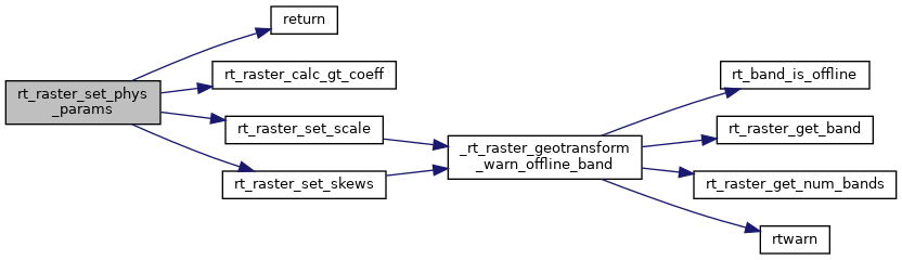
References rtpixdump::rast, return(), rt_raster_calc_gt_coeff(), rt_raster_set_scale(), and rt_raster_set_skews().
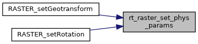
Referenced by RASTER_setGeotransform(), and RASTER_setRotation().
Here is the call graph for this function:
Here is the caller graph for this function: