Loading...
Searching...
No Matches
◆ geography_distance_tree()
| Datum geography_distance_tree | ( | PG_FUNCTION_ARGS | ) |
Definition at line 338 of file geography_measurement.c.
339{
340 GSERIALIZED *g1 = NULL;
341 GSERIALIZED *g2 = NULL;
342 double tolerance = 0.0;
344 bool use_spheroid = true;
346
347 /* Get our geometry objects loaded into memory. */
348 g1 = PG_GETARG_GSERIALIZED_P(0);
349 g2 = PG_GETARG_GSERIALIZED_P(1);
350
351 gserialized_error_if_srid_mismatch(g1, g2, __func__);
352
353 /* Return zero on empty arguments. */
355 {
356 PG_FREE_IF_COPY(g1, 0);
357 PG_FREE_IF_COPY(g2, 1);
358 PG_RETURN_FLOAT8(0.0);
359 }
360
361 /* Read our tolerance value. */
362 if ( PG_NARGS() > 2 && ! PG_ARGISNULL(2) )
363 tolerance = PG_GETARG_FLOAT8(2);
364
365 /* Read our calculation type. */
366 if ( PG_NARGS() > 3 && ! PG_ARGISNULL(3) )
367 use_spheroid = PG_GETARG_BOOL(3);
368
369 /* Initialize spheroid */
371
372 /* Set to sphere if requested */
373 if ( ! use_spheroid )
375
377 {
378 elog(ERROR, "geography_distance_tree failed!");
379 PG_RETURN_NULL();
380 }
381
382 /* Knock off any funny business at the nanometer level, ticket #2168 */
384
385 PG_RETURN_FLOAT8(distance);
386}
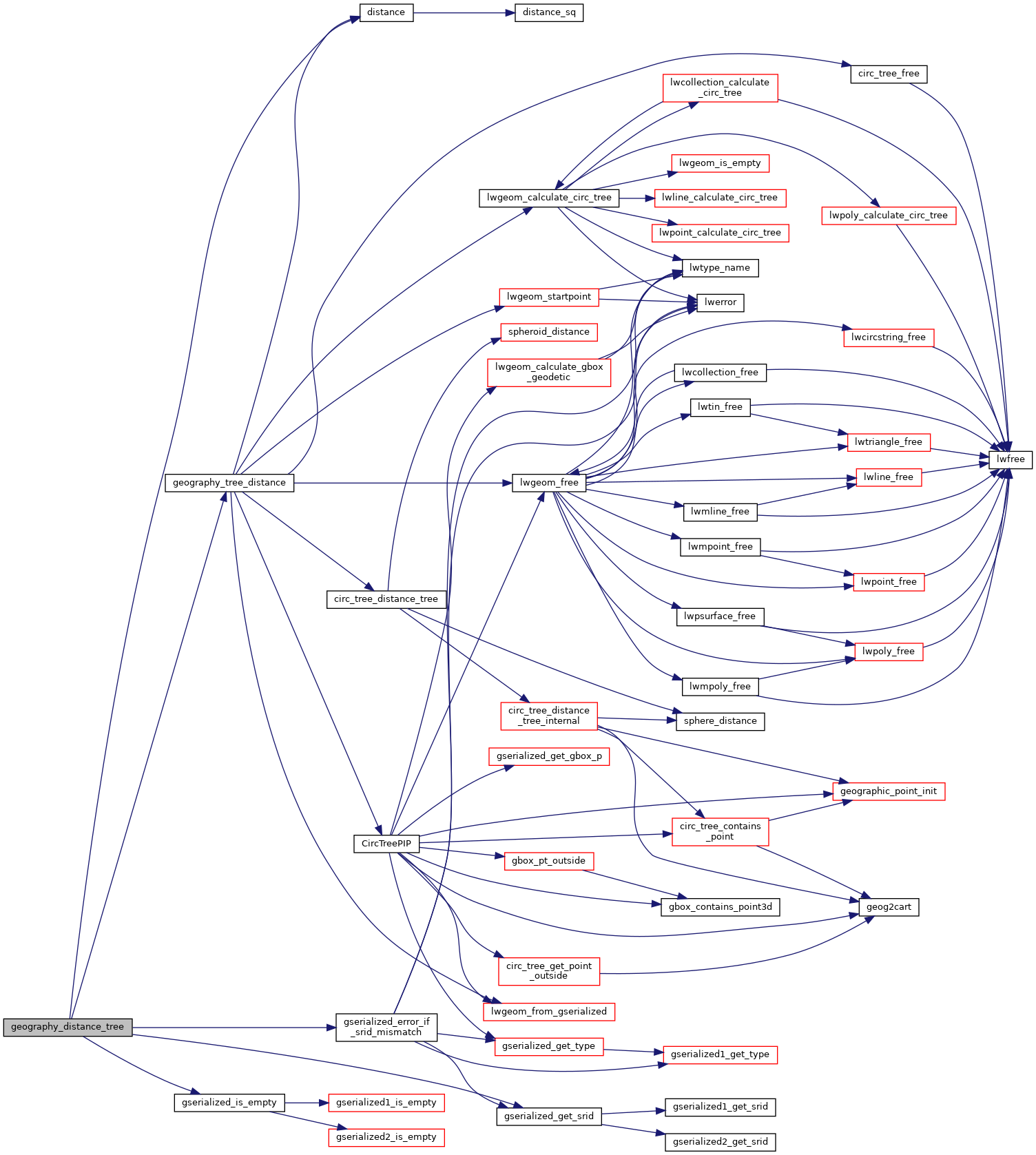
int geography_tree_distance(const GSERIALIZED *g1, const GSERIALIZED *g2, const SPHEROID *s, double tolerance, double *distance)
Definition geography_measurement_trees.c:285
void gserialized_error_if_srid_mismatch(const GSERIALIZED *g1, const GSERIALIZED *g2, const char *funcname)
Definition gserialized.c:404
int32_t gserialized_get_srid(const GSERIALIZED *g)
Extract the SRID from the serialized form (it is packed into three bytes so this is a handy function)...
Definition gserialized.c:126
int gserialized_is_empty(const GSERIALIZED *g)
Check if a GSERIALIZED is empty without deserializing first.
Definition gserialized.c:152
Definition liblwgeom.h:429
Definition liblwgeom.h:360
References distance(), geography_tree_distance(), gserialized_error_if_srid_mismatch(), gserialized_get_srid(), gserialized_is_empty(), INVMINDIST, LW_FAILURE, and s.
Here is the call graph for this function: