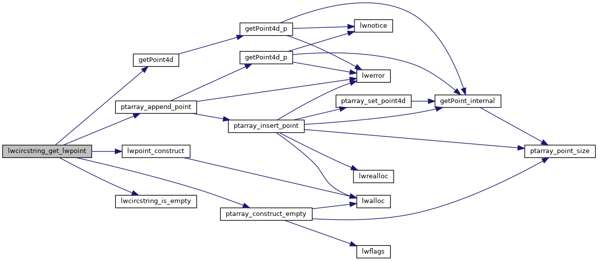
◆ lwcircstring_get_lwpoint()
| LWPOINT* lwcircstring_get_lwpoint | ( | const LWCIRCSTRING * | circ, |
| uint32_t | where | ||
| ) |
Definition at line 286 of file lwcircstring.c.
LWPOINT * lwpoint_construct(int32_t srid, GBOX *bbox, POINTARRAY *point)
Definition: lwpoint.c:129
POINTARRAY * ptarray_construct_empty(char hasz, char hasm, uint32_t maxpoints)
Create a new POINTARRAY with no points.
Definition: ptarray.c:59
int ptarray_append_point(POINTARRAY *pa, const POINT4D *pt, int allow_duplicates)
Append a point to the end of an existing POINTARRAY If allow_duplicate is LW_FALSE,...
Definition: ptarray.c:147
int lwcircstring_is_empty(const LWCIRCSTRING *circ)
Definition: liblwgeom.h:455
Definition: liblwgeom.h:399
Definition: liblwgeom.h:412
References LWCIRCSTRING::flags, FLAGS_GET_M, FLAGS_GET_Z, getPoint4d(), LW_TRUE, lwcircstring_is_empty(), lwpoint_construct(), POINTARRAY::npoints, LWCIRCSTRING::points, ptarray_append_point(), ptarray_construct_empty(), and LWCIRCSTRING::srid.
Referenced by LWGEOM_dumppoints().
Here is the call graph for this function:
Here is the caller graph for this function:
