PostGIS  3.0.6dev-r@@SVN_REVISION@@

◆ lwpoint_construct()

LWPOINT* lwpoint_construct ( int32_t  srid,
GBOX bbox,
POINTARRAY point 
)

Definition at line 129 of file lwpoint.c.

130 {
131  LWPOINT *result;
132  lwflags_t flags = 0;
133 
134  if (point == NULL)
135  return NULL; /* error */
136 
137  result = lwalloc(sizeof(LWPOINT));
138  result->type = POINTTYPE;
139  FLAGS_SET_Z(flags, FLAGS_GET_Z(point->flags));
140  FLAGS_SET_M(flags, FLAGS_GET_M(point->flags));
141  FLAGS_SET_BBOX(flags, bbox?1:0);
142  result->flags = flags;
143  result->srid = srid;
144  result->point = point;
145  result->bbox = bbox;
146 
147  return result;
148 }
uint16_t lwflags_t
Definition: liblwgeom.h:313
#define FLAGS_SET_BBOX(flags, value)
Definition: liblwgeom.h:188
#define POINTTYPE
LWTYPE numbers, used internally by PostGIS.
Definition: liblwgeom.h:116
#define FLAGS_GET_Z(flags)
Definition: liblwgeom.h:179
#define FLAGS_GET_M(flags)
Definition: liblwgeom.h:180
void * lwalloc(size_t size)
Definition: lwutil.c:227
#define FLAGS_SET_M(flags, value)
Definition: liblwgeom.h:187
#define FLAGS_SET_Z(flags, value)
Definition: liblwgeom.h:186
POINTARRAY * point
Definition: liblwgeom.h:457
uint8_t type
Definition: liblwgeom.h:460
lwflags_t flags
Definition: liblwgeom.h:459
GBOX * bbox
Definition: liblwgeom.h:456
int32_t srid
Definition: liblwgeom.h:458
lwflags_t flags
Definition: liblwgeom.h:417

References LWPOINT::bbox, POINTARRAY::flags, LWPOINT::flags, FLAGS_GET_M, FLAGS_GET_Z, FLAGS_SET_BBOX, FLAGS_SET_M, FLAGS_SET_Z, lwalloc(), LWPOINT::point, POINTTYPE, LWPOINT::srid, and LWPOINT::type.

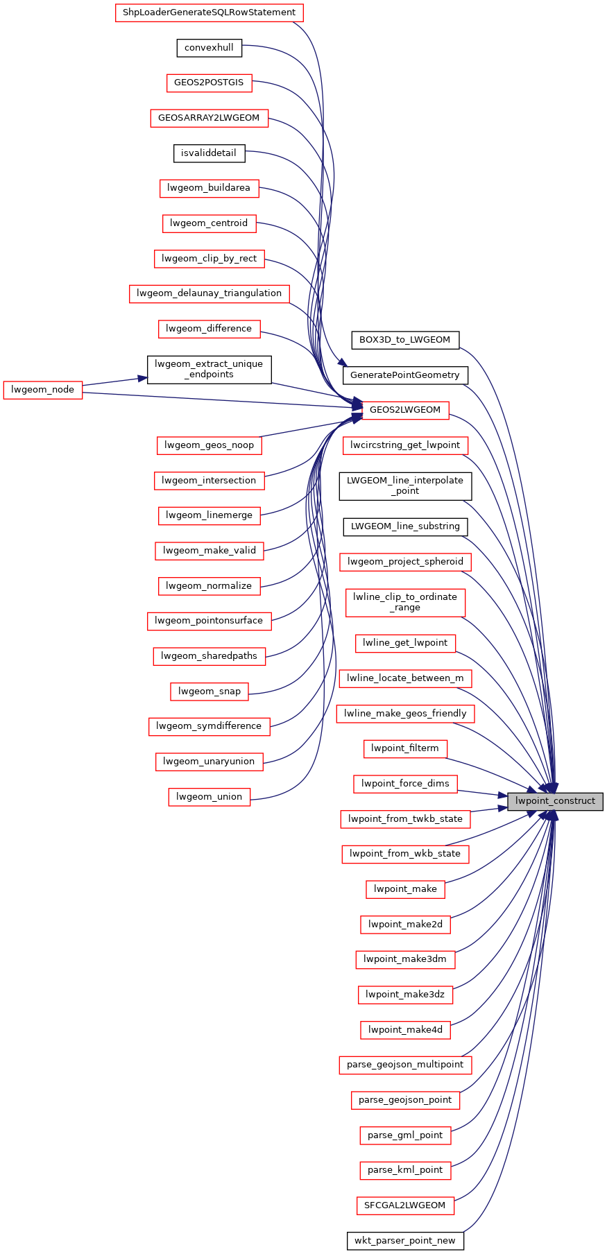
Referenced by BOX3D_to_LWGEOM(), GeneratePointGeometry(), GEOS2LWGEOM(), lwcircstring_get_lwpoint(), LWGEOM_line_interpolate_point(), LWGEOM_line_substring(), lwgeom_project_spheroid(), lwline_clip_to_ordinate_range(), lwline_get_lwpoint(), lwline_locate_between_m(), lwline_make_geos_friendly(), lwpoint_filterm(), lwpoint_force_dims(), lwpoint_from_twkb_state(), lwpoint_from_wkb_state(), lwpoint_make(), lwpoint_make2d(), lwpoint_make3dm(), lwpoint_make3dz(), lwpoint_make4d(), parse_geojson_multipoint(), parse_geojson_point(), parse_gml_point(), parse_kml_point(), SFCGAL2LWGEOM(), and wkt_parser_point_new().

Here is the call graph for this function:
Here is the caller graph for this function: