Loading...
Searching...
No Matches
◆ postgis_valid_typmod()
| GSERIALIZED * postgis_valid_typmod | ( | GSERIALIZED * | gser, |
| int32_t | typmod | ||
| ) |
Check the consistency of the metadata we want to enforce in the typmod: srid, type and dimensionality.
If things are inconsistent, shut down the query.
Definition at line 110 of file gserialized_typmod.c.
111{
120
121 POSTGIS_DEBUG(2, "Entered function");
122
123 /* No typmod (-1) => no preferences */
124 if (typmod < 0) return gser;
125
126 POSTGIS_DEBUGF(3, "Got geom(type = %d, srid = %d, hasz = %d, hasm = %d)", geom_type, geom_srid, geom_z, geom_m);
127 POSTGIS_DEBUGF(3, "Got typmod(type = %d, srid = %d, hasz = %d, hasm = %d)", typmod_type, typmod_srid, typmod_z, typmod_m);
128
129 /*
130 * #3031: If a user is handing us a MULTIPOINT EMPTY but trying to fit it into
131 * a POINT geometry column, there's a strong chance the reason she has
132 * a MULTIPOINT EMPTY because we gave it to her during data dump,
133 * converting the internal POINT EMPTY into a EWKB MULTIPOINT EMPTY
134 * (because EWKB doesn't have a clean way to represent POINT EMPTY).
135 * In such a case, it makes sense to turn the MULTIPOINT EMPTY back into a
136 * point EMPTY, rather than throwing an error.
137 */
139 gserialized_is_empty(gser) )
140 {
142 geom_type = POINTTYPE;
143 pfree(gser);
145 gser = geography_serialize(lwpoint_as_lwgeom(empty_point));
146 else
148 }
149
150 /* Typmod has a preference for SRID? Geometry SRID had better match. */
151 if ( typmod_srid > 0 && typmod_srid != geom_srid )
152 {
153 ereport(ERROR, (
154 errcode(ERRCODE_INVALID_PARAMETER_VALUE),
155 errmsg("Geometry SRID (%d) does not match column SRID (%d)", geom_srid, typmod_srid) ));
156 }
157
158 /* Typmod has a preference for geometry type. */
159 if ( typmod_type > 0 &&
160 /* GEOMETRYCOLLECTION column can hold any kind of collection */
162 geom_type == MULTIPOLYGONTYPE ||
163 geom_type == MULTIPOINTTYPE ||
164 geom_type == MULTILINETYPE )) ||
165 /* Other types must be strictly equal. */
166 (typmod_type != geom_type)) )
167 {
168 ereport(ERROR, (
169 errcode(ERRCODE_INVALID_PARAMETER_VALUE),
170 errmsg("Geometry type (%s) does not match column type (%s)", lwtype_name(geom_type), lwtype_name(typmod_type)) ));
171 }
172
173 /* Mismatched Z dimensionality. */
174 if ( typmod_z && ! geom_z )
175 {
176 ereport(ERROR, (
177 errcode(ERRCODE_INVALID_PARAMETER_VALUE),
178 errmsg("Column has Z dimension but geometry does not" )));
179 }
180
181 /* Mismatched Z dimensionality (other way). */
182 if ( geom_z && ! typmod_z )
183 {
184 ereport(ERROR, (
185 errcode(ERRCODE_INVALID_PARAMETER_VALUE),
186 errmsg("Geometry has Z dimension but column does not" )));
187 }
188
189 /* Mismatched M dimensionality. */
190 if ( typmod_m && ! geom_m )
191 {
192 ereport(ERROR, (
193 errcode(ERRCODE_INVALID_PARAMETER_VALUE),
194 errmsg("Column has M dimension but geometry does not" )));
195 }
196
197 /* Mismatched M dimensionality (other way). */
198 if ( geom_m && ! typmod_m )
199 {
200 ereport(ERROR, (
201 errcode(ERRCODE_INVALID_PARAMETER_VALUE),
202 errmsg("Geometry has M dimension but column does not" )));
203 }
204
205 return gser;
206
207}
int32_t gserialized_get_srid(const GSERIALIZED *g)
Extract the SRID from the serialized form (it is packed into three bytes so this is a handy function)...
Definition gserialized.c:126
int gserialized_is_geodetic(const GSERIALIZED *g)
Check if a GSERIALIZED is a geography.
Definition gserialized.c:196
int gserialized_has_m(const GSERIALIZED *g)
Check if a GSERIALIZED has an M ordinate.
Definition gserialized.c:185
int gserialized_is_empty(const GSERIALIZED *g)
Check if a GSERIALIZED is empty without deserializing first.
Definition gserialized.c:152
int gserialized_has_z(const GSERIALIZED *g)
Check if a GSERIALIZED has a Z ordinate.
Definition gserialized.c:174
uint32_t gserialized_get_type(const GSERIALIZED *g)
Extract the geometry type from the serialized form (it hides in the anonymous data area,...
Definition gserialized.c:89
const char * lwtype_name(uint8_t type)
Return the type name string associated with a type number (e.g.
Definition lwutil.c:216
LWPOINT * lwpoint_construct_empty(int32_t srid, char hasz, char hasm)
Definition lwpoint.c:151
GSERIALIZED * geometry_serialize(LWGEOM *lwgeom)
Definition liblwgeom.h:455
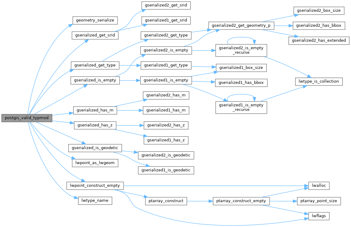
References COLLECTIONTYPE, geometry_serialize(), gserialized_get_srid(), gserialized_get_type(), gserialized_has_m(), gserialized_has_z(), gserialized_is_empty(), gserialized_is_geodetic(), lwpoint_as_lwgeom(), lwpoint_construct_empty(), lwtype_name(), MULTILINETYPE, MULTIPOINTTYPE, MULTIPOLYGONTYPE, POINTTYPE, TYPMOD_GET_M, TYPMOD_GET_SRID, TYPMOD_GET_TYPE, and TYPMOD_GET_Z.
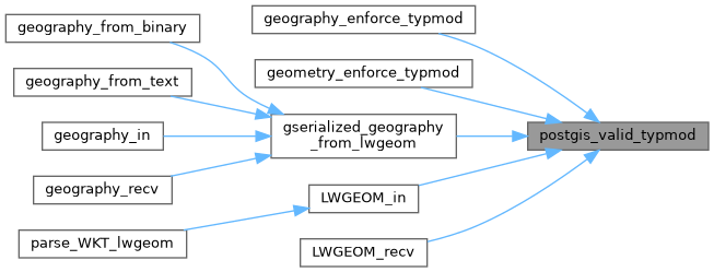
Referenced by geography_enforce_typmod(), geometry_enforce_typmod(), gserialized_geography_from_lwgeom(), LWGEOM_in(), and LWGEOM_recv().
Here is the call graph for this function:
Here is the caller graph for this function: