Loading...
Searching...
No Matches
◆ gserialized_has_m()
| int gserialized_has_m | ( | const GSERIALIZED * | g | ) |
Check if a GSERIALIZED has an M ordinate.
Definition at line 185 of file gserialized.c.
186{
189 else
191}
int gserialized1_has_m(const GSERIALIZED *gser)
Check if a GSERIALIZED has an M ordinate.
Definition gserialized1.c:99
int gserialized2_has_m(const GSERIALIZED *g)
Check if a GSERIALIZED has an M ordinate.
Definition gserialized2.c:161
References GSERIALIZED::gflags, GFLAGS_GET_VERSION, gserialized1_has_m(), and gserialized2_has_m().
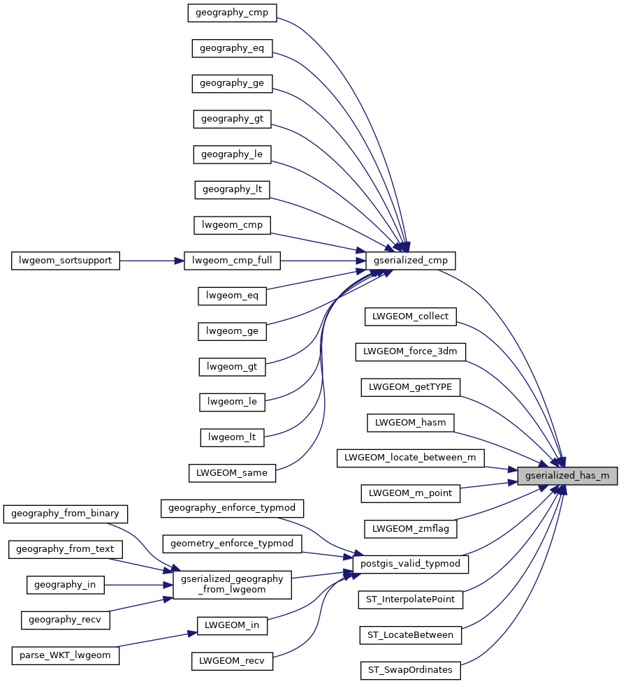
Referenced by gserialized_cmp(), LWGEOM_collect(), LWGEOM_force_3dm(), LWGEOM_getTYPE(), LWGEOM_hasm(), LWGEOM_locate_between_m(), LWGEOM_m_point(), LWGEOM_zmflag(), postgis_valid_typmod(), ST_InterpolatePoint(), ST_LocateBetween(), and ST_SwapOrdinates().
Here is the call graph for this function:
Here is the caller graph for this function: