◆ geog2cart()
| void geog2cart | ( | const GEOGRAPHIC_POINT * | g, |
| POINT3D * | p | ||
| ) |
Convert spherical coordinates to cartesian coordinates on unit sphere.
Definition at line 404 of file lwgeodetic.c.
References GEOGRAPHIC_POINT::lat, GEOGRAPHIC_POINT::lon, POINT3D::x, POINT3D::y, and POINT3D::z.
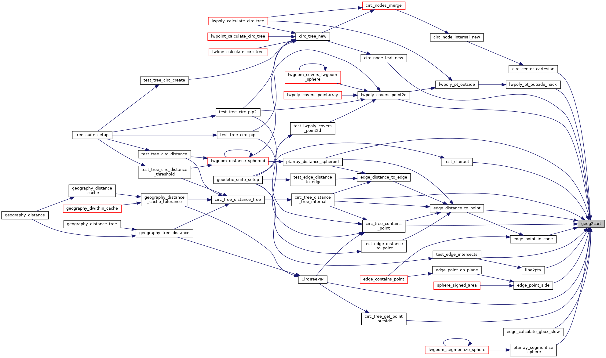
Referenced by circ_center_cartesian(), circ_node_leaf_new(), circ_tree_contains_point(), circ_tree_distance_tree_internal(), circ_tree_get_point_outside(), CircTreePIP(), edge_calculate_gbox_slow(), edge_distance_to_point(), edge_point_in_cone(), edge_point_side(), line2pts(), lwpoly_covers_point2d(), lwpoly_pt_outside_hack(), ptarray_distance_spheroid(), ptarray_segmentize_sphere(), test_clairaut(), and test_edge_intersects().
Here is the caller graph for this function:
