Loading...
Searching...
No Matches
◆ rt_util_gdal_convert_sr()
| char * rt_util_gdal_convert_sr | ( | const char * | srs, |
| int | proj4 | ||
| ) |
Definition at line 322 of file rt_util.c.
322 {
323 OGRSpatialReferenceH hsrs;
324 char *rtn = NULL;
325
326 assert(srs != NULL);
327
328 hsrs = OSRNewSpatialReference(NULL);
329 if (OSRSetFromUserInput(hsrs, srs) == OGRERR_NONE) {
330 if (proj4)
331 OSRExportToProj4(hsrs, &rtn);
332 else
333 OSRExportToWkt(hsrs, &rtn);
334 }
335 else {
337 return NULL;
338 }
339
340 OSRDestroySpatialReference(hsrs);
341 if (rtn == NULL) {
343 return NULL;
344 }
345
346 return rtn;
347}
void rterror(const char *fmt,...) __attribute__((format(printf
Wrappers used for reporting errors and info.
References rterror().
Referenced by rt_raster_gdal_warp(), and rt_raster_to_gdal_mem().
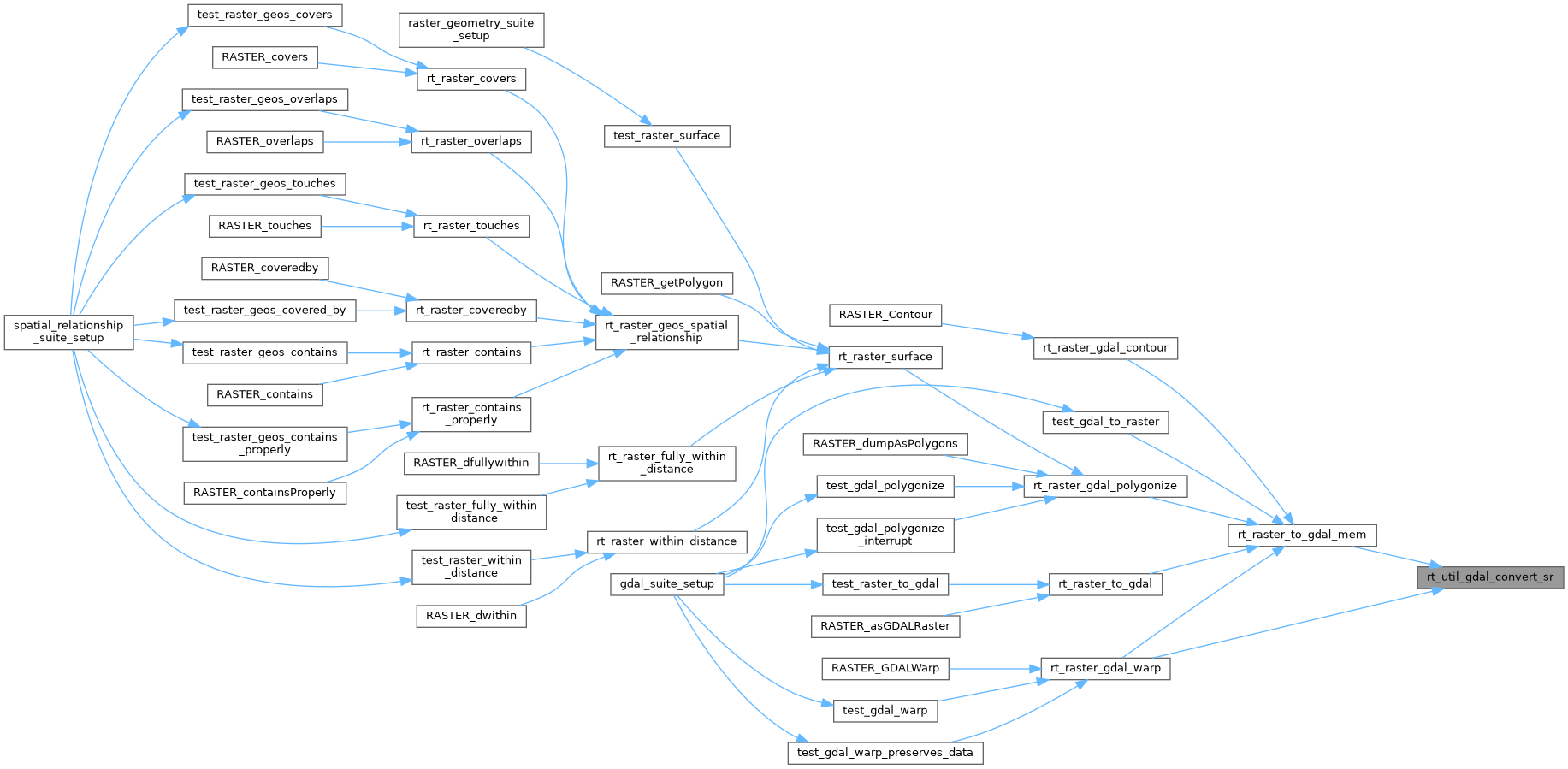
Here is the call graph for this function:

Here is the caller graph for this function: