Loading...
Searching...
No Matches
◆ lwgeom_voronoi_diagram()
| LWGEOM * lwgeom_voronoi_diagram | ( | const LWGEOM * | g, |
| const GBOX * | env, | ||
| double | tolerance, | ||
| int | output_edges | ||
| ) |
Take vertices of a geometry and build the Voronoi diagram.
- Parameters
-
g the input geometry env an optional envelope for clipping the results tolerance an optional snapping tolerance for improved robustness output_edges if non-zero the result will be a MULTILINESTRING, otherwise it'll be a COLLECTION of polygons.
Definition at line 1835 of file liblwgeom/lwgeom_geos.c.
1836{
1837 uint32_t num_points = lwgeom_count_vertices(g);
1838 LWGEOM* lwgeom_result;
1840 int32_t srid = lwgeom_get_srid(g);
1841 GEOSCoordSequence* coords;
1842 GEOSGeometry* geos_geom;
1843 GEOSGeometry* geos_env = NULL;
1844 GEOSGeometry* geos_result;
1845
1846 if (num_points < 2)
1847 {
1850 }
1851
1853
1854 /* Instead of using the standard LWGEOM2GEOS transformer, we read the vertices of the LWGEOM directly and put
1855 * them into a single GEOS CoordinateSeq that can be used to define a LineString. This allows us to process
1856 * geometry types that may not be supported by GEOS, and reduces the memory requirements in cases of many
1857 * geometries with few points (such as LWMPOINT).*/
1858 coords = lwgeom_get_geos_coordseq_2d(g, num_points);
1859 if (!coords) return NULL;
1860
1861 geos_geom = GEOSGeom_createLineString(coords);
1862 if (!geos_geom)
1863 {
1864 GEOSCoordSeq_destroy(coords);
1865 return NULL;
1866 }
1867
1869
1870 geos_result = GEOSVoronoiDiagram(geos_geom, geos_env, tolerance, output_edges);
1871
1872 GEOSGeom_destroy(geos_geom);
1873 if (env) GEOSGeom_destroy(geos_env);
1874
1875 if (!geos_result)
1876 {
1878 return NULL;
1879 }
1880
1881 lwgeom_result = GEOS2LWGEOM(geos_result, is_3d);
1882 GEOSGeom_destroy(geos_result);
1883
1884 lwgeom_set_srid(lwgeom_result, srid);
1885
1886 return lwgeom_result;
1887}
char lwgeom_geos_errmsg[LWGEOM_GEOS_ERRMSG_MAXSIZE]
Definition liblwgeom/lwgeom_geos.c:40
static GEOSCoordSequence * lwgeom_get_geos_coordseq_2d(const LWGEOM *g, uint32_t num_points)
Definition liblwgeom/lwgeom_geos.c:1795
void(*) LWGEOM GEOS2LWGEOM)(const GEOSGeometry *geom, uint8_t want3d)
Definition liblwgeom/lwgeom_geos.h:39
void lwgeom_set_srid(LWGEOM *geom, int32_t srid)
Set the SRID on an LWGEOM For collections, only the parent gets an SRID, all the children get SRID_UN...
Definition lwgeom.c:1638
uint32_t lwgeom_count_vertices(const LWGEOM *geom)
Count the total number of vertices in any LWGEOM.
Definition lwgeom.c:1337
LWCOLLECTION * lwcollection_construct_empty(uint8_t type, int32_t srid, char hasz, char hasm)
Definition lwcollection.c:92
LWGEOM * lwcollection_as_lwgeom(const LWCOLLECTION *obj)
Definition lwgeom.c:337
void lwnotice(const char *fmt,...) __attribute__((format(printf
Write a notice out to the notice handler.
void void lwerror(const char *fmt,...) __attribute__((format(printf
Write a notice out to the error handler.
Definition liblwgeom.h:573
Definition liblwgeom.h:457
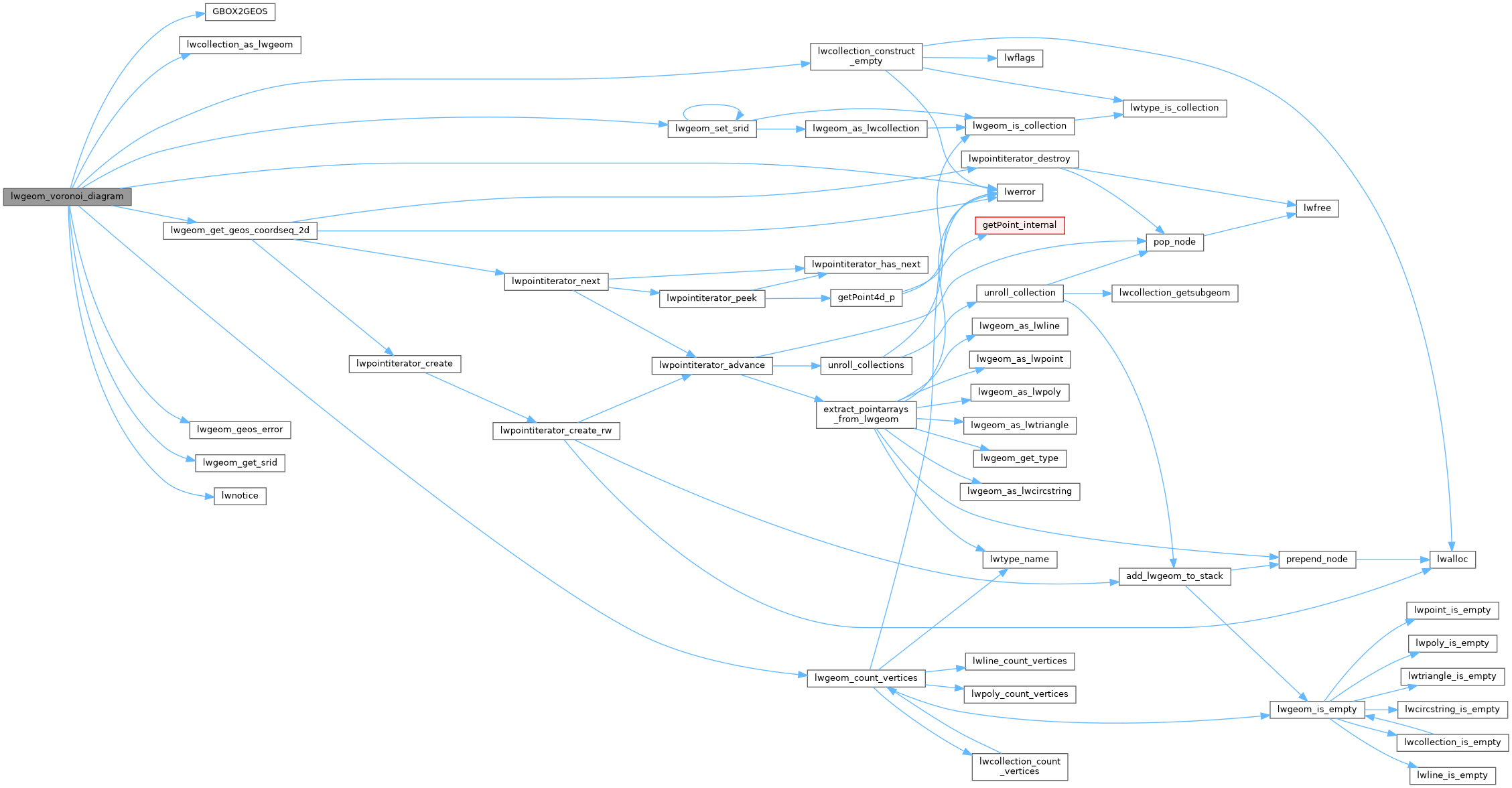
References COLLECTIONTYPE, GBOX2GEOS(), LW_FALSE, lwcollection_as_lwgeom(), lwcollection_construct_empty(), lwerror(), lwgeom_count_vertices(), lwgeom_geos_errmsg, lwgeom_geos_error(), lwgeom_get_geos_coordseq_2d(), lwgeom_get_srid(), lwgeom_set_srid(), and lwnotice().
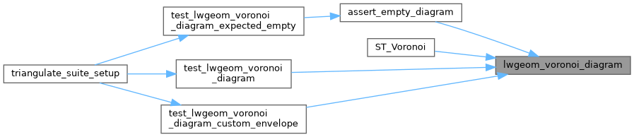
Referenced by assert_empty_diagram(), ST_Voronoi(), test_lwgeom_voronoi_diagram(), and test_lwgeom_voronoi_diagram_custom_envelope().
Here is the call graph for this function:
Here is the caller graph for this function: