Loading...
Searching...
No Matches
◆ rt_raster_copy_to_geometry()
| rt_errorstate rt_raster_copy_to_geometry | ( | rt_raster | raster, |
| uint32_t | bandnum, | ||
| char | dim, | ||
| rt_resample_type | resample, | ||
| const LWGEOM * | lwgeom_in, | ||
| LWGEOM ** | lwgeom_out | ||
| ) |
Copy values from a raster to the points on a geometry using the requested interpolation type.
and selected interpolation.
- Parameters
-
raster : the raster to read for values bandnum : the band number to read from dim : the geometry dimension to copy values into 'Z' or 'M' resample : algorithm for reading raster (nearest or bilinear) lwgeom_in : the input geometry lwgeom_out : pointer for the output geometry
- Returns
- ES_ERROR on error, otherwise ES_NONE
Definition at line 1492 of file rt_raster.c.
1500{
1503 LWGEOM *lwgeom;
1504 LWPOINTITERATOR* it;
1505 POINT4D p;
1506 double igt[6] = {0};
1507 rt_errorstate err;
1509 double nodatavalue = 0.0;
1510
1511 /* Get the band reference and read the nodatavalue */
1513 if (!band) {
1516 }
1517 rt_band_get_nodata(band, &nodatavalue);
1518
1519 /* Fluff up geometry to have space for our new dimension */
1520 if (dim == 'z') {
1521 if (has_z)
1522 lwgeom = lwgeom_clone(lwgeom_in);
1523 else if (has_m)
1524 lwgeom = lwgeom_force_4d(lwgeom_in, nodatavalue, nodatavalue);
1525 else
1526 lwgeom = lwgeom_force_3dz(lwgeom_in, nodatavalue);
1527 }
1528 else if (dim == 'm') {
1529 if (has_m)
1530 lwgeom = lwgeom_clone(lwgeom_in);
1531 if (has_z)
1532 lwgeom = lwgeom_force_4d(lwgeom_in, nodatavalue, nodatavalue);
1533 else
1534 lwgeom = lwgeom_force_3dm(lwgeom_in, nodatavalue);
1535 }
1536 else {
1539 }
1540
1541 /* Read every point in the geometry */
1542 it = lwpointiterator_create_rw(lwgeom);
1544 {
1545 int nodata;
1547 lwpointiterator_peek(it, &p);
1548
1549 /* Convert X/Y world coordinates into raster coordinates */
1552
1553 /* Read the raster value for this point */
1554 err = rt_band_get_pixel_resample(
1555 band,
1556 xr, yr,
1557 resample,
1558 &value, &nodata
1559 );
1560
1563 }
1564
1565 /* Copy in the raster value */
1566 if (dim == 'z')
1568 if (dim == 'm')
1570
1571 lwpointiterator_modify_next(it, &p);
1572 }
1573 lwpointiterator_destroy(it);
1574
1575 if (lwgeom_out)
1576 *lwgeom_out = lwgeom;
1578}
LWPOINTITERATOR * lwpointiterator_create_rw(LWGEOM *g)
Create a new LWPOINTITERATOR over supplied LWGEOM* Supports modification of coordinates during iterat...
Definition lwiterator.c:252
int lwpointiterator_peek(LWPOINTITERATOR *s, POINT4D *p)
Attempts to assigns the next point in the iterator to p.
Definition lwiterator.c:193
void lwpointiterator_destroy(LWPOINTITERATOR *s)
Free all memory associated with the iterator.
Definition lwiterator.c:268
int lwgeom_has_z(const LWGEOM *geom)
Return LW_TRUE if geometry has Z ordinates.
Definition lwgeom.c:962
int lwpointiterator_modify_next(LWPOINTITERATOR *s, const POINT4D *p)
Attempts to replace the next point int the iterator with p, and advances the iterator to the next poi...
Definition lwiterator.c:224
int lwpointiterator_has_next(LWPOINTITERATOR *s)
Returns LW_TRUE if there is another point available in the iterator.
Definition lwiterator.c:202
int lwgeom_has_m(const LWGEOM *geom)
Return LW_TRUE if geometry has M ordinates.
Definition lwgeom.c:969
LWGEOM * lwgeom_force_4d(const LWGEOM *geom, double zval, double mval)
Definition lwgeom.c:839
void rterror(const char *fmt,...) __attribute__((format(printf
Wrappers used for reporting errors and info.
rt_errorstate rt_band_get_pixel_resample(rt_band band, double xr, double yr, rt_resample_type resample, double *r_value, int *r_nodata)
Retrieve a point value from the raster using a world coordinate and selected resampling method.
Definition rt_band.c:1396
rt_errorstate rt_band_get_nodata(rt_band band, double *nodata)
Get NODATA value.
Definition rt_band.c:2067
rt_errorstate rt_raster_geopoint_to_rasterpoint(rt_raster raster, double xw, double yw, double *xr, double *yr, double *igt)
Convert an xw,yw map point to a xr,yr raster point.
Definition rt_raster.c:730
rt_band rt_raster_get_band(rt_raster raster, int n)
Return Nth band, or NULL if unavailable.
Definition rt_raster.c:385
Definition liblwgeom.h:457
Definition lwiterator.c:45
Definition liblwgeom.h:413
Definition librtcore.h:2515
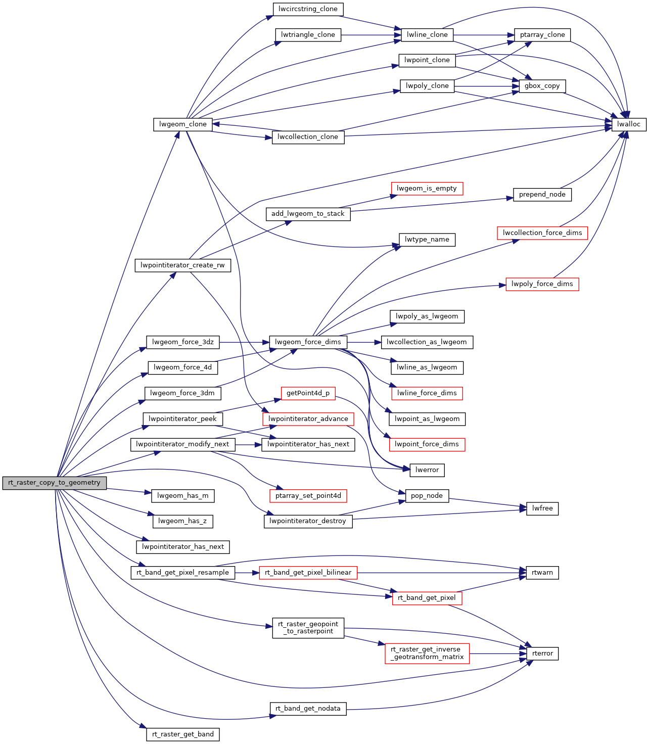
References ES_ERROR, ES_NONE, lwgeom_clone(), lwgeom_force_3dm(), lwgeom_force_3dz(), lwgeom_force_4d(), lwgeom_has_m(), lwgeom_has_z(), lwpointiterator_create_rw(), lwpointiterator_destroy(), lwpointiterator_has_next(), lwpointiterator_modify_next(), lwpointiterator_peek(), POINT4D::m, NAN, rt_band_get_nodata(), rt_band_get_pixel_resample(), rt_raster_geopoint_to_rasterpoint(), rt_raster_get_band(), rterror(), POINT4D::x, POINT4D::y, and POINT4D::z.
Referenced by RASTER_getGeometryValues().
Here is the call graph for this function:
Here is the caller graph for this function:
