Loading...
Searching...
No Matches
◆ rt_raster_within_distance()
| rt_errorstate rt_raster_within_distance | ( | rt_raster | rast1, |
| int | nband1, | ||
| rt_raster | rast2, | ||
| int | nband2, | ||
| double | distance, | ||
| int * | dwithin | ||
| ) |
Return ES_ERROR if error occurred in function.
Parameter dwithin returns non-zero if rast1 is within the specified distance of rast2
- Parameters
-
rast1 : the first raster whose band will be tested nband1 : the 0-based band of raster rast1 to use if value is less than zero, bands are ignored. if nband1 gte zero, nband2 must be gte zero rast2 : the second raster whose band will be tested nband2 : the 0-based band of raster rast2 to use if value is less than zero, bands are ignored if nband2 gte zero, nband1 must be gte zero dwithin : non-zero value if rast1 is within the specified distance of rast2
- Returns
- ES_NONE if success, ES_ERROR if error
Definition at line 460 of file rt_spatial_relationship.c.
465 {
466 LWMPOLY *surface = NULL;
467 LWGEOM *surface1 = NULL;
468 LWGEOM *surface2 = NULL;
469 double mindist = 0;
470
472
473 assert(NULL != rast1);
474 assert(NULL != rast2);
475 assert(NULL != dwithin);
476
477 if (nband1 < 0 && nband2 < 0) {
478 nband1 = -1;
479 nband2 = -1;
480 }
481 else {
482 assert(nband1 >= 0 && nband1 < rt_raster_get_num_bands(rast1));
483 assert(nband2 >= 0 && nband2 < rt_raster_get_num_bands(rast2));
484 }
485
486 /* initialize to zero, false result */
487 *dwithin = 0;
488
489 /* same srid */
493 }
494
495 /* distance cannot be less than zero */
499 }
500
501 /* get LWMPOLY of each band */
503 rterror("rt_raster_distance_within: Could not get surface of the specified band from the first raster");
505 }
506 surface1 = lwmpoly_as_lwgeom(surface);
507
509 rterror("rt_raster_distance_within: Could not get surface of the specified band from the second raster");
510 lwgeom_free(surface1);
512 }
513 surface2 = lwmpoly_as_lwgeom(surface);
514
515 /* either surface is NULL, test is false */
516 if (surface1 == NULL || surface2 == NULL) {
520 }
521
522 /* get the min distance between the two surfaces */
524
525 lwgeom_free(surface1);
526 lwgeom_free(surface2);
527
528 /* if distance >= mindist, true */
530 *dwithin = 1;
531
533
535}
double lwgeom_mindistance2d_tolerance(const LWGEOM *lw1, const LWGEOM *lw2, double tolerance)
Function handling min distance calculations and dwithin calculations.
Definition measures.c:222
void rterror(const char *fmt,...) __attribute__((format(printf
Wrappers used for reporting errors and info.
rt_errorstate rt_raster_surface(rt_raster raster, int nband, LWMPOLY **surface)
Get a raster as a surface (multipolygon).
Definition rt_geometry.c:356
Definition liblwgeom.h:457
Definition liblwgeom.h:559
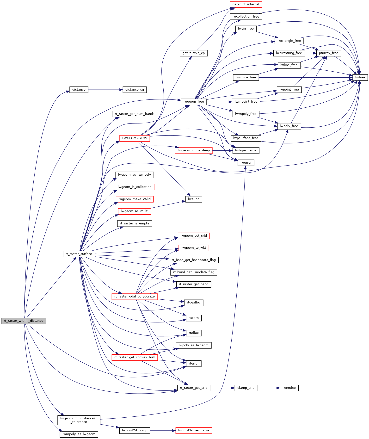
References distance(), ES_ERROR, ES_NONE, FLT_EQ, lwgeom_free(), lwgeom_mindistance2d_tolerance(), lwmpoly_as_lwgeom(), RASTER_DEBUG, RASTER_DEBUGF, rt_raster_get_num_bands(), rt_raster_get_srid(), rt_raster_surface(), and rterror().
Referenced by RASTER_dwithin(), and test_raster_within_distance().
Here is the call graph for this function:
Here is the caller graph for this function: