Loading...
Searching...
No Matches
◆ geography_centroid_from_mline()
Split lines into segments and calculate with middle of segment as weighted point.
Definition at line 256 of file geography_centroid.c.
257{
258 double_t tolerance = 0.0;
259 uint32_t size = 0;
260 uint32_t i, k, j = 0;
261 POINT3DM* points;
263
264 /* get total number of points */
267 }
268
270
273
274 /* add both points of line segment as weighted point */
278 double_t weight;
279
280 /* use line-segment length as weight */
287
288 /* use point distance as weight */
290
293 points[j].m = weight;
294 j++;
295
298 points[j].m = weight;
299 j++;
300
301 lwgeom_free(lwgeom1);
302 lwgeom_free(lwgeom2);
303 }
304 }
305
307 pfree(points);
309}
LWPOINT * geography_centroid_from_wpoints(const int32_t srid, const POINT3DM *points, const uint32_t size)
Convert lat-lon-points to x-y-z-coordinates, calculate a weighted average point and return lat-lon-co...
Definition geography_centroid.c:180
void lwgeom_set_geodetic(LWGEOM *geom, int value)
Set the FLAGS geodetic bit on geometry an all sub-geometries and pointlists.
Definition lwgeom.c:992
double lwgeom_distance_spheroid(const LWGEOM *lwgeom1, const LWGEOM *lwgeom2, const SPHEROID *spheroid, double tolerance)
Calculate the geodetic distance from lwgeom1 to lwgeom2 on the spheroid.
Definition lwgeodetic.c:2066
static const POINT2D * getPoint2d_cp(const POINTARRAY *pa, uint32_t n)
Returns a POINT2D pointer into the POINTARRAY serialized_ptlist, suitable for reading from.
Definition lwinline.h:97
Definition liblwgeom.h:457
Definition liblwgeom.h:481
Definition liblwgeom.h:469
Definition liblwgeom.h:389
Definition liblwgeom.h:407
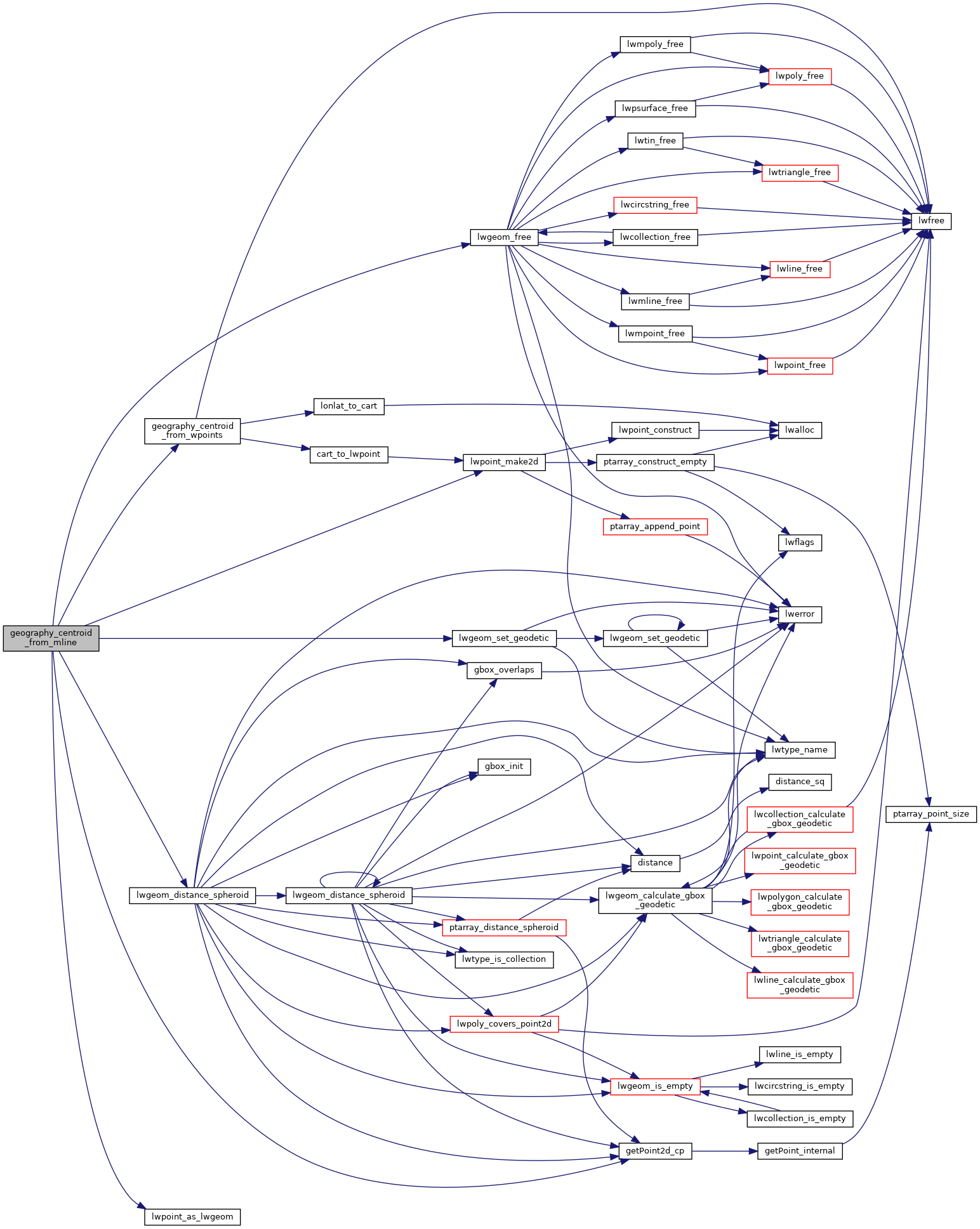
References geography_centroid_from_wpoints(), LWMLINE::geoms, getPoint2d_cp(), LW_TRUE, lwgeom_distance_spheroid(), lwgeom_free(), lwgeom_set_geodetic(), lwpoint_as_lwgeom(), lwpoint_make2d(), POINT3DM::m, LWMLINE::ngeoms, POINTARRAY::npoints, LWLINE::points, result, s, LWMLINE::srid, POINT2D::x, POINT3DM::x, POINT2D::y, and POINT3DM::y.
Referenced by geography_centroid().
Here is the call graph for this function:
Here is the caller graph for this function: