Loading...
Searching...
No Matches
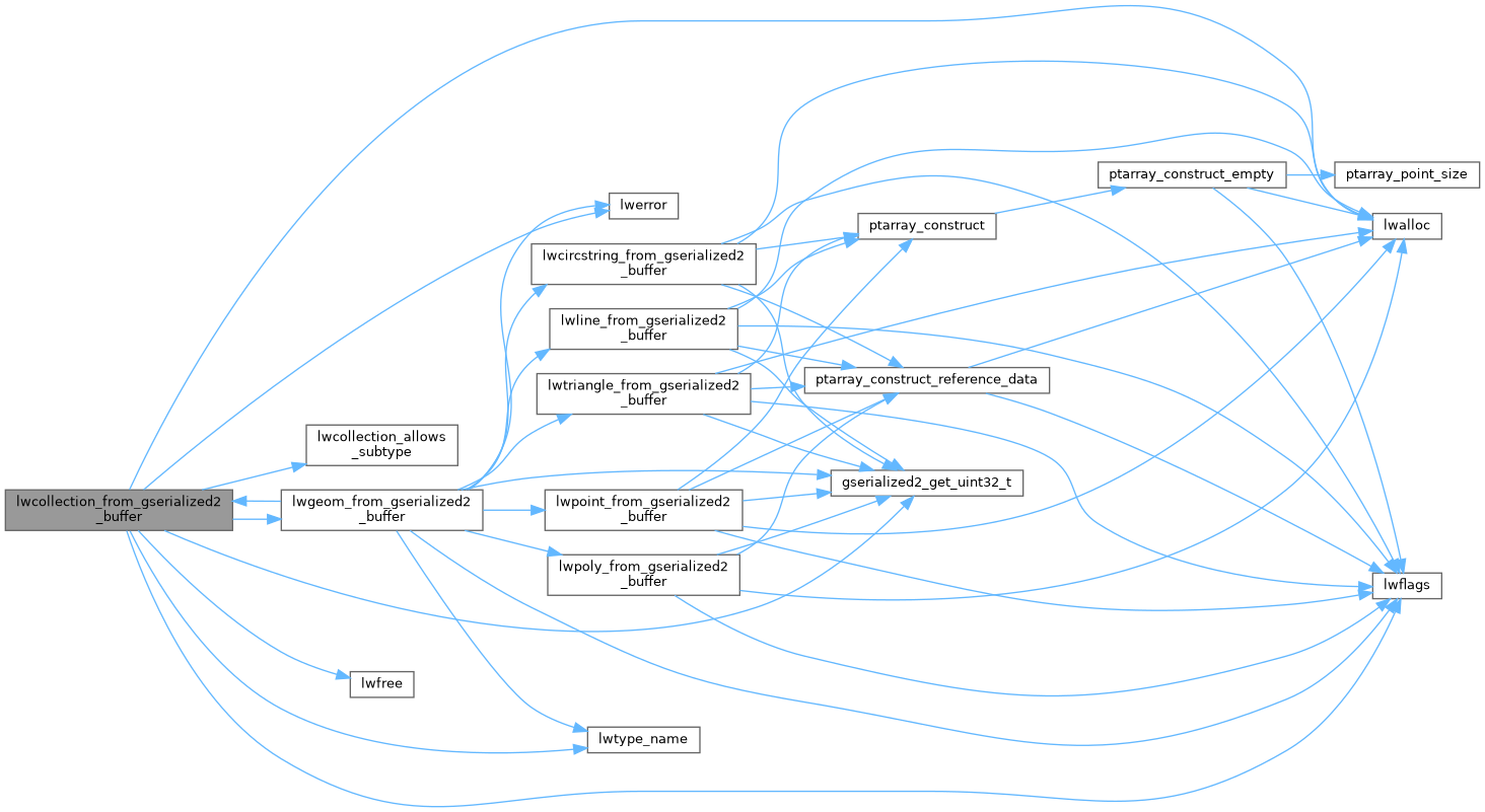
◆ lwcollection_from_gserialized2_buffer()
|
static |
Definition at line 1399 of file gserialized2.c.
1400{
1401 uint32_t type;
1402 uint8_t *start_ptr = data_ptr;
1403 LWCOLLECTION *collection;
1404 uint32_t ngeoms = 0;
1405 uint32_t i = 0;
1406
1407 assert(data_ptr);
1408
1410 data_ptr += 4; /* Skip past the type. */
1411
1413 collection->srid = srid;
1414 collection->bbox = NULL;
1417
1418 ngeoms = gserialized2_get_uint32_t(data_ptr);
1420 data_ptr += 4; /* Skip past the ngeoms. */
1421
1422 if (ngeoms > 0)
1423 {
1425 collection->maxgeoms = ngeoms;
1426 }
1427 else
1428 {
1429 collection->geoms = NULL;
1430 collection->maxgeoms = 0;
1431 }
1432
1433 /* Sub-geometries are never de-serialized with boxes (#1254) */
1435
1436 for (i = 0; i < ngeoms; i++)
1437 {
1438 uint32_t subtype = gserialized2_get_uint32_t(data_ptr);
1439 size_t subsize = 0;
1440
1442 {
1443 lwerror("Invalid subtype (%s) for collection type (%s)", lwtype_name(subtype), lwtype_name(type));
1444 lwfree(collection);
1445 return NULL;
1446 }
1448 data_ptr += subsize;
1449 }
1450
1451 if (size)
1452 *size = data_ptr - start_ptr;
1453
1454 return collection;
1455}
static uint32_t gserialized2_get_uint32_t(const uint8_t *loc)
Definition gserialized2.c:131
static LWGEOM * lwgeom_from_gserialized2_buffer(uint8_t *data_ptr, lwflags_t lwflags, size_t *size, int32_t srid)
Definition gserialized2.c:1458
const char * lwtype_name(uint8_t type)
Return the type name string associated with a type number (e.g.
Definition lwutil.c:216
lwflags_t lwflags(int hasz, int hasm, int geodetic)
Construct a new flags bitmask.
Definition lwutil.c:477
int lwcollection_allows_subtype(int collectiontype, int subtype)
Check if subtype is allowed in collectiontype.
Definition lwcollection.c:513
void void lwerror(const char *fmt,...) __attribute__((format(printf
Write a notice out to the error handler.
Definition liblwgeom.h:573
Definition liblwgeom.h:457
References LWCOLLECTION::bbox, LWCOLLECTION::flags, FLAGS_SET_BBOX, LWCOLLECTION::geoms, gserialized2_get_uint32_t(), lwalloc(), lwcollection_allows_subtype(), lwerror(), lwflags(), lwfree(), lwgeom_from_gserialized2_buffer(), lwtype_name(), LWCOLLECTION::maxgeoms, LWCOLLECTION::ngeoms, LWCOLLECTION::srid, and LWCOLLECTION::type.
Referenced by lwgeom_from_gserialized2_buffer().
Here is the call graph for this function:
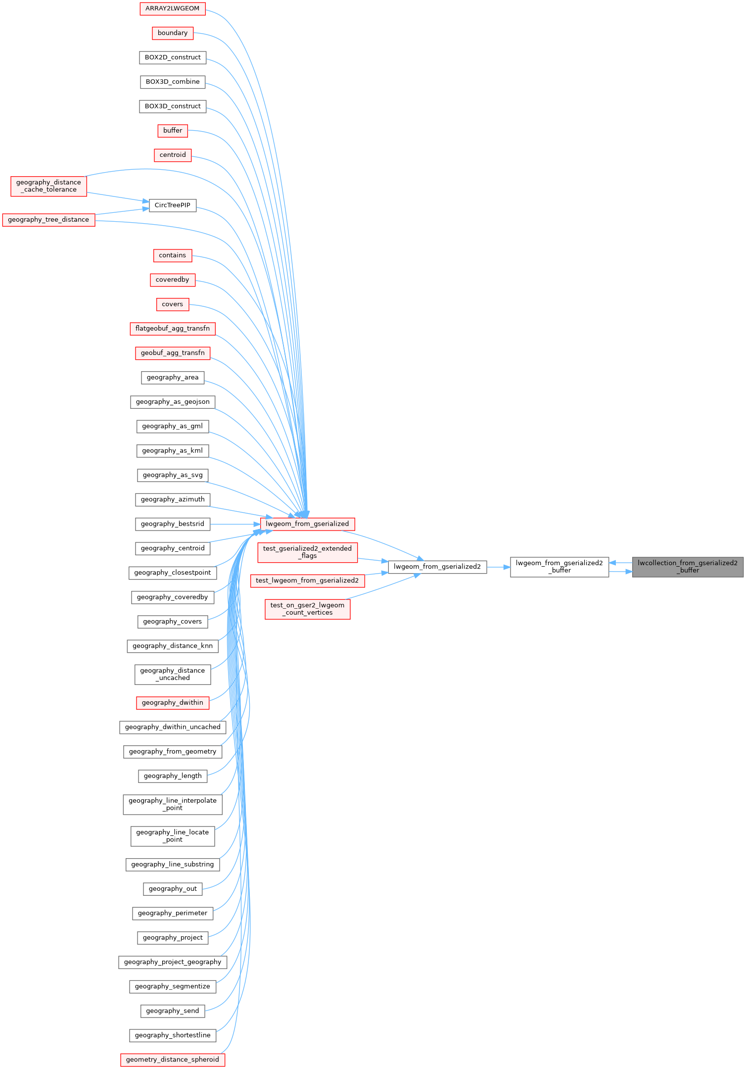
Here is the caller graph for this function: