Loading...
Searching...
No Matches
◆ ptarray_distance_spheroid()
|
static |
Definition at line 1756 of file lwgeodetic.c.
1757{
1758 GEOGRAPHIC_EDGE e1, e2;
1759 GEOGRAPHIC_POINT g1, g2;
1760 GEOGRAPHIC_POINT nearest1, nearest2;
1761 POINT3D A1, A2, B1, B2;
1764 uint32_t i, j;
1766
1767 /* Make result really big, so that everything will be smaller than it */
1768 distance = FLT_MAX;
1769
1770 /* Empty point arrays? Return negative */
1772 return -1.0;
1773
1774 /* Handle point/point case here */
1776 {
1777 p = getPoint2d_cp(pa1, 0);
1779 p = getPoint2d_cp(pa2, 0);
1781 /* Sphere special case, axes equal */
1783 if ( use_sphere )
1785 /* Below tolerance, actual distance isn't of interest */
1788 /* Close or greater than tolerance, get the real answer to be sure */
1789 else
1791 }
1792
1793 /* Handle point/line case here */
1795 {
1796 /* Handle one/many case here */
1797 uint32_t i;
1800
1802 {
1803 pa_one = pa1;
1804 pa_many = pa2;
1805 }
1806 else
1807 {
1808 pa_one = pa2;
1809 pa_many = pa1;
1810 }
1811
1812 /* Initialize our point */
1813 p = getPoint2d_cp(pa_one, 0);
1815
1816 /* Initialize start of line */
1817 p = getPoint2d_cp(pa_many, 0);
1819
1820 /* Iterate through the edges in our line */
1822 {
1823 double d;
1824 p = getPoint2d_cp(pa_many, i);
1826 /* Get the spherical distance between point and edge */
1828 /* New shortest distance! Record this distance / location */
1830 {
1831 distance = d;
1832 nearest2 = g2;
1833 }
1834 /* We've gotten closer than the tolerance... */
1835 if ( d <= tolerance )
1836 {
1837 /* Working on a sphere? The answer is correct, return */
1838 if ( use_sphere )
1839 {
1840 return d;
1841 }
1842 /* Far enough past the tolerance that the spheroid calculation won't change things */
1843 else if ( d <= tolerance * 0.95 )
1844 {
1845 return d;
1846 }
1847 /* On a spheroid and near the tolerance? Confirm that we are *actually* closer than tolerance */
1848 else
1849 {
1851 /* Yes, closer than tolerance, return! */
1852 if ( d <= tolerance )
1853 return d;
1854 }
1855 }
1857 }
1858
1859 /* On sphere, return answer */
1860 if ( use_sphere )
1862 /* On spheroid, calculate final answer based on closest approach */
1863 else
1865
1866 }
1867
1868 /* Initialize start of line 1 */
1869 p = getPoint2d_cp(pa1, 0);
1872
1873
1874 /* Handle line/line case */
1876 {
1877 p = getPoint2d_cp(pa1, i);
1880
1881 /* Initialize start of line 2 */
1882 p = getPoint2d_cp(pa2, 0);
1885
1887 {
1888 double d;
1889
1890 p = getPoint2d_cp(pa2, j);
1893
1898
1900 {
1902 return 0.0;
1903 }
1906
1908 {
1909 distance = d;
1910 nearest1 = g1;
1911 nearest2 = g2;
1912 }
1913 if ( d <= tolerance )
1914 {
1915 if ( use_sphere )
1916 {
1917 return d;
1918 }
1919 else
1920 {
1922 if ( d <= tolerance )
1923 return d;
1924 }
1925 }
1926
1927 /* Copy end to start to allow a new end value in next iteration */
1929 B1 = B2;
1930 }
1931
1932 /* Copy end to start to allow a new end value in next iteration */
1934 A1 = A2;
1936 }
1938
1939 if ( use_sphere )
1941 else
1943}
void geographic_point_init(double lon, double lat, GEOGRAPHIC_POINT *g)
Initialize a geographic point.
Definition lwgeodetic.c:180
double sphere_distance(const GEOGRAPHIC_POINT *s, const GEOGRAPHIC_POINT *e)
Given two points on a unit sphere, calculate their distance apart in radians.
Definition lwgeodetic.c:896
uint32_t edge_intersects(const POINT3D *A1, const POINT3D *A2, const POINT3D *B1, const POINT3D *B2)
Returns non-zero if edges A and B interact.
Definition lwgeodetic.c:3389
double edge_distance_to_point(const GEOGRAPHIC_EDGE *e, const GEOGRAPHIC_POINT *gp, GEOGRAPHIC_POINT *closest)
Definition lwgeodetic.c:1170
void geog2cart(const GEOGRAPHIC_POINT *g, POINT3D *p)
Convert spherical coordinates to cartesian coordinates on unit sphere.
Definition lwgeodetic.c:404
double edge_distance_to_edge(const GEOGRAPHIC_EDGE *e1, const GEOGRAPHIC_EDGE *e2, GEOGRAPHIC_POINT *closest1, GEOGRAPHIC_POINT *closest2)
Calculate the distance between two edges.
Definition lwgeodetic.c:1223
double spheroid_distance(const GEOGRAPHIC_POINT *a, const GEOGRAPHIC_POINT *b, const SPHEROID *spheroid)
Computes the shortest distance along the surface of the spheroid between two points,...
Definition lwspheroid.c:79
static const POINT2D * getPoint2d_cp(const POINTARRAY *pa, uint32_t n)
Returns a POINT2D pointer into the POINTARRAY serialized_ptlist, suitable for reading from.
Definition lwinline.h:97
Definition liblwgeom.h:389
Definition liblwgeom.h:401
Definition liblwgeom.h:426
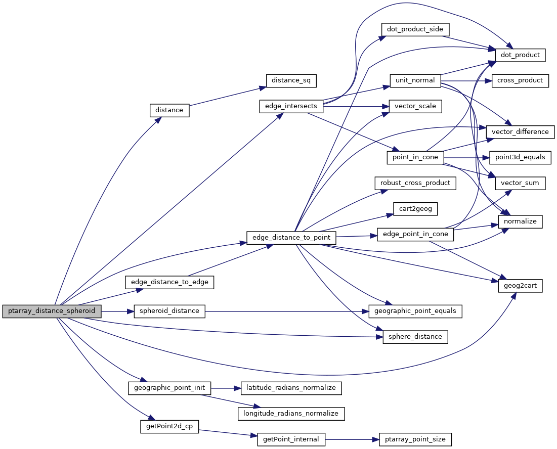
References distance(), edge_distance_to_edge(), edge_distance_to_point(), edge_intersects(), GEOGRAPHIC_EDGE::end, geog2cart(), geographic_point_init(), getPoint2d_cp(), GEOGRAPHIC_POINT::lat, GEOGRAPHIC_POINT::lon, LW_ON_INTERRUPT, LWDEBUG, LWDEBUGF, POINTARRAY::npoints, s, sphere_distance(), spheroid_distance(), GEOGRAPHIC_EDGE::start, POINT2D::x, and POINT2D::y.
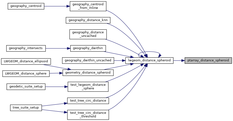
Referenced by lwgeom_distance_spheroid().
Here is the call graph for this function:
Here is the caller graph for this function: