PostGIS 3.7.0dev-r@@SVN_REVISION@@
Loading...
Searching...
No Matches

◆ ptarray_contains_point_sphere()

int ptarray_contains_point_sphere ( const POINTARRAY pa,
const POINT2D pt_outside,
const POINT2D pt_to_test 
)

This routine returns LW_TRUE if the stabline joining the pt_outside and pt_to_test crosses the ring an odd number of times, or if the pt_to_test is on the ring boundary itself, returning LW_FALSE otherwise.

The pt_outside must be guaranteed to be outside the ring (use the geography_pt_outside() function to derive one in postgis, or the gbox_pt_outside() function if you don't mind burning CPU cycles building a gbox first).

Definition at line 3502 of file lwgeodetic.c.

3503{
3504 POINT3D S1, S2; /* Stab line end points */
3505 POINT3D E1, E2; /* Edge end points (3-space) */
3506 POINT2D p; /* Edge end points (lon/lat) */
3507 uint32_t count = 0, i, inter;
3508
3509 /* Null input, not enough points for a ring? You ain't closed! */
3510 if ( ! pa || pa->npoints < 4 )
3511 return LW_FALSE;
3512
3513 /* Set up our stab line */
3514 ll2cart(pt_to_test, &S1);
3515 ll2cart(pt_outside, &S2);
3516
3517 /* Initialize first point */
3518 getPoint2d_p(pa, 0, &p);
3519 ll2cart(&p, &E1);
3520
3521 /* Walk every edge and see if the stab line hits it */
3522 for ( i = 1; i < pa->npoints; i++ )
3523 {
3524 LWDEBUGF(4, "testing edge (%d)", i);
3525 LWDEBUGF(4, " start point == POINT(%.12g %.12g)", p.x, p.y);
3526
3527 /* Read next point. */
3528 getPoint2d_p(pa, i, &p);
3529 ll2cart(&p, &E2);
3530
3531 /* Skip over too-short edges. */
3532 if ( point3d_equals(&E1, &E2) )
3533 {
3534 continue;
3535 }
3536
3537 /* Our test point is on an edge end! Point is "in ring" by our definition */
3538 if ( point3d_equals(&S1, &E1) )
3539 {
3540 return LW_TRUE;
3541 }
3542
3543 /* Calculate relationship between stab line and edge */
3544 inter = edge_intersects(&S1, &S2, &E1, &E2);
3545
3546 /* We have some kind of interaction... */
3547 if ( inter & PIR_INTERSECTS )
3548 {
3549 /* If the stabline is touching the edge, that implies the test point */
3550 /* is on the edge, so we're done, the point is in (on) the ring. */
3551 if ( (inter & PIR_A_TOUCH_RIGHT) || (inter & PIR_A_TOUCH_LEFT) )
3552 {
3553 return LW_TRUE;
3554 }
3555
3556 /* It's a touching interaction, disregard all the left-side ones. */
3557 /* It's a co-linear intersection, ignore those. */
3558 if ( inter & PIR_B_TOUCH_RIGHT || inter & PIR_COLINEAR )
3559 {
3560 /* Do nothing, to avoid double counts. */
3561 LWDEBUGF(4," edge (%d) crossed, count == %d, disregarding to avoid double count", i, count);
3562 }
3563 else
3564 {
3565 /* Increment crossingn count. */
3566 count++;
3567 LWDEBUGF(4," edge (%d) crossed, count == %d", i, count);
3568 }
3569 }
3570 else
3571 {
3572 LWDEBUGF(4," edge (%d) did not cross", i);
3573 }
3574
3575 /* Increment to next edge */
3576 E1 = E2;
3577 }
3578
3579 LWDEBUGF(4,"final count == %d", count);
3580
3581 /* An odd number of crossings implies containment! */
3582 if ( count % 2 )
3583 {
3584 return LW_TRUE;
3585 }
3586
3587 return LW_FALSE;
3588}
#define LW_FALSE
Definition liblwgeom.h:94
int getPoint2d_p(const POINTARRAY *pa, uint32_t n, POINT2D *point)
Definition lwgeom_api.c:342
#define LW_TRUE
Return types for functions with status returns.
Definition liblwgeom.h:93
void ll2cart(const POINT2D *g, POINT3D *p)
Convert lon/lat coordinates to cartesian coordinates on unit sphere.
Definition lwgeodetic.c:423
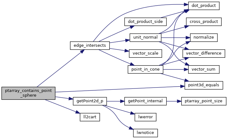
uint32_t edge_intersects(const POINT3D *A1, const POINT3D *A2, const POINT3D *B1, const POINT3D *B2)
Returns non-zero if edges A and B interact.
static int point3d_equals(const POINT3D *p1, const POINT3D *p2)
Utility function for ptarray_contains_point_sphere()
Definition lwgeodetic.c:42
#define PIR_A_TOUCH_LEFT
Definition lwgeodetic.h:91
#define PIR_COLINEAR
Definition lwgeodetic.h:89
#define PIR_INTERSECTS
Definition lwgeodetic.h:88
#define PIR_A_TOUCH_RIGHT
Definition lwgeodetic.h:90
#define PIR_B_TOUCH_RIGHT
Definition lwgeodetic.h:92
#define LWDEBUGF(level, msg,...)
Definition lwgeom_log.h:106
int count
Definition genraster.py:57
double y
Definition liblwgeom.h:390
double x
Definition liblwgeom.h:390
uint32_t npoints
Definition liblwgeom.h:427

References edge_intersects(), getPoint2d_p(), ll2cart(), LW_FALSE, LW_TRUE, LWDEBUGF, POINTARRAY::npoints, PIR_A_TOUCH_LEFT, PIR_A_TOUCH_RIGHT, PIR_B_TOUCH_RIGHT, PIR_COLINEAR, PIR_INTERSECTS, point3d_equals(), POINT2D::x, and POINT2D::y.

Referenced by lwpoly_covers_point2d(), test_ptarray_contains_point_sphere(), and test_ptarray_contains_point_sphere_iowa().

Here is the call graph for this function:
Here is the caller graph for this function: