Loading...
Searching...
No Matches
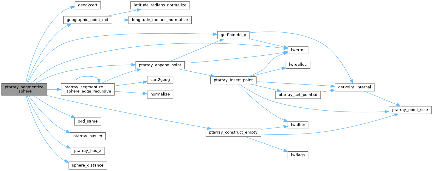
◆ ptarray_segmentize_sphere()
|
static |
Create a new point array with no segment longer than the input segment length (expressed in radians!)
- Parameters
-
pa_in - input point array pointer max_seg_length - maximum output segment length in radians
Definition at line 1638 of file lwgeodetic.c.
1639{
1640 POINTARRAY *pa_out;
1643 POINT4D p1, p2;
1644 POINT3D q1, q2;
1645 GEOGRAPHIC_POINT g1, g2;
1646 uint32_t i;
1647
1648 /* Just crap out on crazy input */
1649 if ( ! pa_in )
1651 if ( max_seg_length <= 0.0 )
1653
1654 /* Empty starting array */
1656
1657 /* Simple loop per edge */
1659 {
1660 getPoint4d_p(pa_in, i-1, &p1);
1661 getPoint4d_p(pa_in, i, &p2);
1664
1665 /* Skip duplicate points (except in case of 2-point lines!) */
1667 continue;
1668
1669 /* How long is this edge? */
1671
1672 if (d > max_seg_length)
1673 {
1674 geog2cart(&g1, &q1);
1675 geog2cart(&g2, &q2);
1676 /* 3-d end points, XYZM end point, current edge size, min edge size */
1677 ptarray_segmentize_sphere_edge_recursive(&q1, &q2, &p1, &p2, d, max_seg_length, pa_out);
1678 }
1679 /* If we don't segmentize, we need to add first point manually */
1680 else
1681 {
1683 }
1684 }
1685 /* Always add the last point */
1687 return pa_out;
1688}
POINTARRAY * ptarray_construct_empty(char hasz, char hasm, uint32_t maxpoints)
Create a new POINTARRAY with no points.
Definition ptarray.c:59
int getPoint4d_p(const POINTARRAY *pa, uint32_t n, POINT4D *point)
Definition lwgeom_api.c:125
int ptarray_append_point(POINTARRAY *pa, const POINT4D *pt, int allow_duplicates)
Append a point to the end of an existing POINTARRAY If allow_duplicate is LW_FALSE,...
Definition ptarray.c:147
void geographic_point_init(double lon, double lat, GEOGRAPHIC_POINT *g)
Initialize a geographic point.
Definition lwgeodetic.c:180
static int ptarray_segmentize_sphere_edge_recursive(const POINT3D *p1, const POINT3D *p2, const POINT4D *v1, const POINT4D *v2, double d, double max_seg_length, POINTARRAY *pa)
Definition lwgeodetic.c:1587
double sphere_distance(const GEOGRAPHIC_POINT *s, const GEOGRAPHIC_POINT *e)
Given two points on a unit sphere, calculate their distance apart in radians.
Definition lwgeodetic.c:896
void geog2cart(const GEOGRAPHIC_POINT *g, POINT3D *p)
Convert spherical coordinates to cartesian coordinates on unit sphere.
Definition lwgeodetic.c:404
void void lwerror(const char *fmt,...) __attribute__((format(printf
Write a notice out to the error handler.
Definition liblwgeom.h:401
Definition liblwgeom.h:413
Definition liblwgeom.h:426
References geog2cart(), geographic_point_init(), getPoint4d_p(), LW_TRUE, lwerror(), POINTARRAY::npoints, p4d_same(), ptarray_append_point(), ptarray_construct_empty(), ptarray_has_m(), ptarray_has_z(), ptarray_segmentize_sphere_edge_recursive(), sphere_distance(), POINT4D::x, and POINT4D::y.
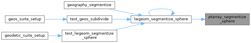
Referenced by lwgeom_segmentize_sphere().
Here is the call graph for this function:
Here is the caller graph for this function: