Loading...
Searching...
No Matches
◆ lwpoint_construct_empty()
| LWPOINT * lwpoint_construct_empty | ( | int32_t | srid, |
| char | hasz, | ||
| char | hasm | ||
| ) |
Definition at line 151 of file lwpoint.c.
152{
156 result->srid = srid;
158 result->bbox = NULL;
160}
lwflags_t lwflags(int hasz, int hasm, int geodetic)
Construct a new flags bitmask.
Definition lwutil.c:477
POINTARRAY * ptarray_construct(char hasz, char hasm, uint32_t npoints)
Construct an empty pointarray, allocating storage and setting the npoints, but not filling in any inf...
Definition ptarray.c:51
Definition liblwgeom.h:469
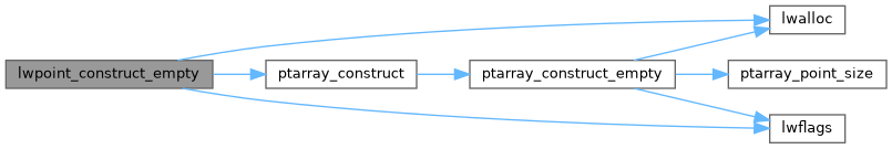
References lwalloc(), lwflags(), POINTTYPE, ptarray_construct(), and result.
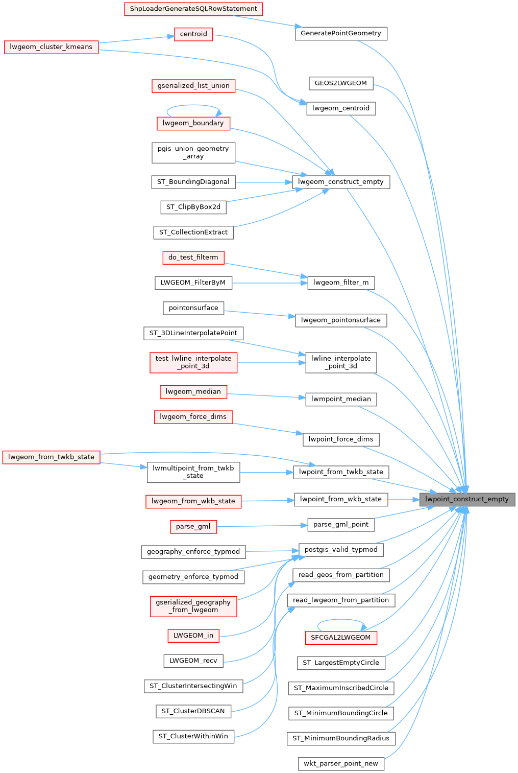
Referenced by GeneratePointGeometry(), GEOS2LWGEOM(), lwgeom_centroid(), lwgeom_construct_empty(), lwgeom_filter_m(), lwgeom_pointonsurface(), lwline_interpolate_point_3d(), lwmpoint_median(), lwpoint_force_dims(), lwpoint_from_twkb_state(), lwpoint_from_wkb_state(), parse_gml_point(), postgis_valid_typmod(), read_geos_from_partition(), read_lwgeom_from_partition(), SFCGAL2LWGEOM(), ST_LargestEmptyCircle(), ST_MaximumInscribedCircle(), ST_MinimumBoundingCircle(), ST_MinimumBoundingRadius(), and wkt_parser_point_new().
Here is the call graph for this function:
Here is the caller graph for this function: