Loading...
Searching...
No Matches
◆ lwgeom_grid_in_place()
Definition at line 2289 of file lwgeom.c.
2290{
2291 if (!geom) return;
2293
2294 condition_gridspec_scale(grid);
2295
2297 {
2299 {
2302 return;
2303 }
2307 {
2310 /* For invalid line, return an EMPTY */
2313 return;
2314 }
2316 {
2319
2320 /* Check first the external ring */
2321 uint32_t i = 0;
2323 ptarray_grid_in_place(pa, grid);
2325 {
2326 /* External ring collapsed: free everything */
2328 {
2330 }
2331 ply->nrings = 0;
2332 return;
2333 }
2334
2335 /* Check the other rings */
2336 uint32_t j = 1;
2338 {
2340 ptarray_grid_in_place(pa, grid);
2341
2342 /* Skip bad rings */
2344 {
2345 ply->rings[j++] = pa;
2346 }
2347 else
2348 {
2349 ptarray_free(pa);
2350 }
2351 }
2352 /* Adjust ring count appropriately */
2353 ply->nrings = j;
2354 return;
2355 }
2362 {
2364 uint32_t i, j = 0;
2367 {
2369 lwgeom_grid_in_place(g, grid);
2370 /* Empty geoms need to be freed */
2371 /* before we move on */
2373 {
2374 lwgeom_free(g);
2375 continue;
2376 }
2377 col->geoms[j++] = g;
2378 }
2379 col->ngeoms = j;
2380 return;
2381 }
2382 default:
2383 {
2386 return;
2387 }
2388 }
2389}
const char * lwtype_name(uint8_t type)
Return the type name string associated with a type number (e.g.
Definition lwutil.c:216
static void condition_gridspec_scale(gridspec *grid)
Definition lwgeom.c:2269
void void lwerror(const char *fmt,...) __attribute__((format(printf
Write a notice out to the error handler.
static int lwgeom_is_empty(const LWGEOM *geom)
Return true or false depending on whether a geometry is an "empty" geometry (no vertices members)
Definition lwinline.h:199
Definition liblwgeom.h:573
Definition liblwgeom.h:457
Definition liblwgeom.h:481
Definition liblwgeom.h:469
Definition liblwgeom.h:517
Definition liblwgeom.h:426
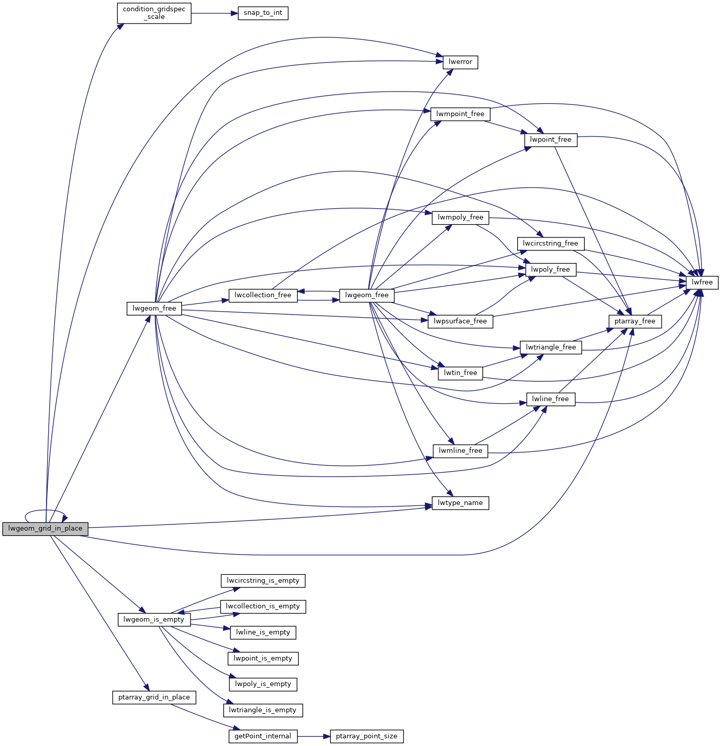
References CIRCSTRINGTYPE, COLLECTIONTYPE, COMPOUNDTYPE, condition_gridspec_scale(), LWCOLLECTION::geoms, LINETYPE, lwerror(), lwgeom_free(), lwgeom_grid_in_place(), lwgeom_is_empty(), lwtype_name(), MULTILINETYPE, MULTIPOINTTYPE, MULTIPOLYGONTYPE, LWCOLLECTION::ngeoms, POINTARRAY::npoints, LWPOLY::nrings, LWPOINT::point, LWLINE::points, POINTTYPE, POLYGONTYPE, ptarray_free(), ptarray_grid_in_place(), LWPOLY::rings, TINTYPE, TRIANGLETYPE, and LWGEOM::type.
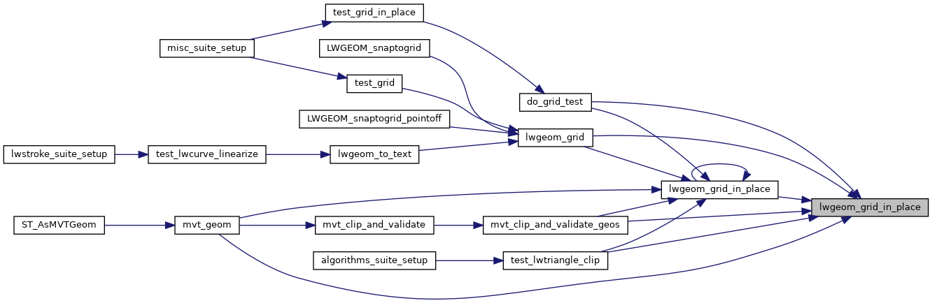
Referenced by do_grid_test(), lwgeom_grid(), lwgeom_grid_in_place(), mvt_clip_and_validate_geos(), mvt_geom(), and test_lwtriangle_clip().
Here is the call graph for this function:
Here is the caller graph for this function: