PostGIS  3.7.0dev-r@@SVN_REVISION@@

◆ lwgeom_length_spheroid()

double lwgeom_length_spheroid ( const LWGEOM geom,
const SPHEROID s 
)

Calculate the geodetic length of a lwgeom on the unit sphere.

The result will have to by multiplied by the real radius to get the real length.

Definition at line 3145 of file lwgeodetic.c.

3146 {
3147  int type;
3148  uint32_t i = 0;
3149  double length = 0.0;
3150 
3151  assert(geom);
3152 
3153  /* No area in nothing */
3154  if ( lwgeom_is_empty(geom) )
3155  return 0.0;
3156 
3157  type = geom->type;
3158 
3159  if ( type == POINTTYPE || type == MULTIPOINTTYPE )
3160  return 0.0;
3161 
3162  if ( type == LINETYPE )
3163  return ptarray_length_spheroid(((LWLINE*)geom)->points, s);
3164 
3165  if ( type == POLYGONTYPE )
3166  {
3167  LWPOLY *poly = (LWPOLY*)geom;
3168  for ( i = 0; i < poly->nrings; i++ )
3169  {
3170  length += ptarray_length_spheroid(poly->rings[i], s);
3171  }
3172  return length;
3173  }
3174 
3175  if ( type == TRIANGLETYPE )
3176  return ptarray_length_spheroid(((LWTRIANGLE*)geom)->points, s);
3177 
3178  if ( lwtype_is_collection( type ) )
3179  {
3180  LWCOLLECTION *col = (LWCOLLECTION*)geom;
3181 
3182  for ( i = 0; i < col->ngeoms; i++ )
3183  {
3184  length += lwgeom_length_spheroid(col->geoms[i], s);
3185  }
3186  return length;
3187  }
3188 
3189  lwerror("unsupported type passed to lwgeom_length_sphere");
3190  return 0.0;
3191 }
char * s
Definition: cu_in_wkt.c:23
#define LINETYPE
Definition: liblwgeom.h:103
#define MULTIPOINTTYPE
Definition: liblwgeom.h:105
int lwtype_is_collection(uint8_t type)
Determine whether a type number is a collection or not.
Definition: lwgeom.c:1168
#define POINTTYPE
LWTYPE numbers, used internally by PostGIS.
Definition: liblwgeom.h:102
#define POLYGONTYPE
Definition: liblwgeom.h:104
#define TRIANGLETYPE
Definition: liblwgeom.h:115
double ptarray_length_spheroid(const POINTARRAY *pa, const SPHEROID *s)
Definition: lwgeodetic.c:3092
double lwgeom_length_spheroid(const LWGEOM *geom, const SPHEROID *s)
Calculate the geodetic length of a lwgeom on the unit sphere.
Definition: lwgeodetic.c:3145
void void lwerror(const char *fmt,...) __attribute__((format(printf
Write a notice out to the error handler.
static int lwgeom_is_empty(const LWGEOM *geom)
Return true or false depending on whether a geometry is an "empty" geometry (no vertices members)
Definition: lwinline.h:199
type
Definition: ovdump.py:42
uint32_t ngeoms
Definition: liblwgeom.h:580
LWGEOM ** geoms
Definition: liblwgeom.h:575
uint8_t type
Definition: liblwgeom.h:462
POINTARRAY ** rings
Definition: liblwgeom.h:519
uint32_t nrings
Definition: liblwgeom.h:524

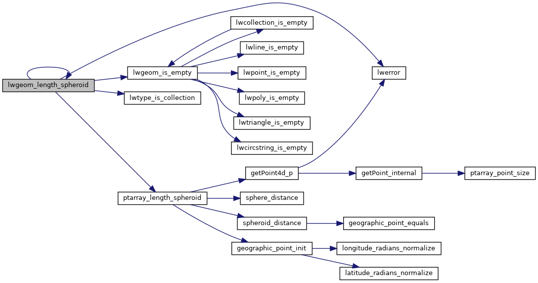
References LWCOLLECTION::geoms, LINETYPE, lwerror(), lwgeom_is_empty(), lwgeom_length_spheroid(), lwtype_is_collection(), MULTIPOINTTYPE, LWCOLLECTION::ngeoms, LWPOLY::nrings, POINTTYPE, POLYGONTYPE, ptarray_length_spheroid(), LWPOLY::rings, s, TRIANGLETYPE, LWGEOM::type, and ovdump::type.

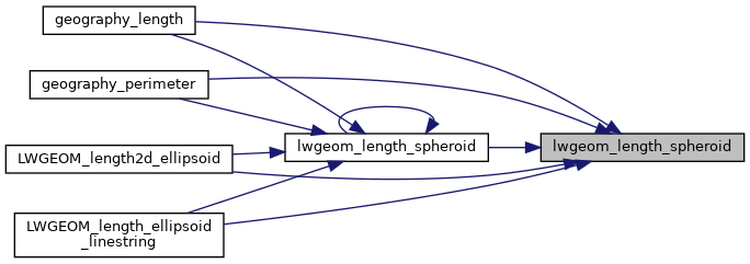
Referenced by geography_length(), geography_perimeter(), LWGEOM_length2d_ellipsoid(), LWGEOM_length_ellipsoid_linestring(), and lwgeom_length_spheroid().

Here is the call graph for this function:
Here is the caller graph for this function: