◆ parse_gml_data()
|
static |
Parse data coordinates.
There's several ways to encode data coordinates, who could be mixed inside a single geometrie:
- gml:pos element
- gml:posList element
- gml:pointProperty
- gml:pointRep (deprecated in 3.1.0)
- gml:coordinate element with tuples string inside (deprecated in 3.1.0)
- gml:coord elements with X,Y(,Z) nested elements (deprecated in 3.0.0)
Definition at line 890 of file lwgeom_in_gml.c.
POINTARRAY * ptarray_merge(POINTARRAY *pa1, POINTARRAY *pa2)
Merge two given POINTARRAY and returns a pointer on the new aggregate one.
Definition: ptarray.c:616
POINTARRAY * ptarray_flip_coordinates(POINTARRAY *pa)
Reverse X and Y axis on a given POINTARRAY.
Definition: ptarray.c:360
static xmlNodePtr get_xlink_node(xmlNodePtr xnode)
Return a xmlNodePtr on a node referenced by a XLink or NULL otherwise.
Definition: lwgeom_in_gml.c:228
static POINTARRAY * parse_gml_pos(xmlNodePtr xnode, bool *hasz)
Parse gml:pos.
Definition: lwgeom_in_gml.c:745
static bool is_xlink(xmlNodePtr node)
Return true if current node contains a simple XLink Return false otherwise.
Definition: lwgeom_in_gml.c:200
static POINTARRAY * gml_reproject_pa(POINTARRAY *pa, int32_t epsg_in, int32_t epsg_out)
Use Proj to reproject a given POINTARRAY.
Definition: lwgeom_in_gml.c:300
static bool is_gml_namespace(xmlNodePtr xnode, bool is_strict)
Return false if current element namespace is not a GML one Return true otherwise.
Definition: lwgeom_in_gml.c:130
static void parse_gml_srs(xmlNodePtr xnode, gmlSrs *srs)
Parse gml srsName attribute.
Definition: lwgeom_in_gml.c:414
static POINTARRAY * parse_gml_coordinates(xmlNodePtr xnode, bool *hasz)
Parse gml:coordinates.
Definition: lwgeom_in_gml.c:574
static POINTARRAY * parse_gml_data(xmlNodePtr xnode, bool *hasz, int *root_srid)
Parse data coordinates.
Definition: lwgeom_in_gml.c:890
static POINTARRAY * parse_gml_coord(xmlNodePtr xnode, bool *hasz)
Parse gml:coord.
Definition: lwgeom_in_gml.c:690
static void gml_lwpgerror(char *msg, __attribute__((__unused__)) int error_code)
Definition: lwgeom_in_gml.c:81
static POINTARRAY * parse_gml_poslist(xmlNodePtr xnode, bool *hasz)
Parse gml:posList.
Definition: lwgeom_in_gml.c:812
Definition: liblwgeom.h:426
Definition: lwgeom_in_gml.c:69
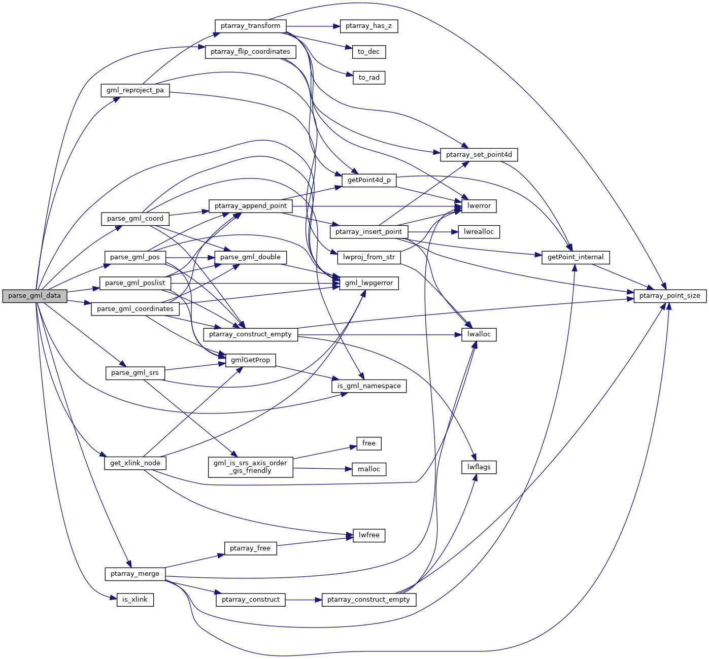
References get_xlink_node(), gml_lwpgerror(), gml_reproject_pa(), is_gml_namespace(), is_xlink(), parse_gml_coord(), parse_gml_coordinates(), parse_gml_pos(), parse_gml_poslist(), parse_gml_srs(), ptarray_flip_coordinates(), ptarray_merge(), struct_gmlSrs::reverse_axis, struct_gmlSrs::srid, and SRID_UNKNOWN.
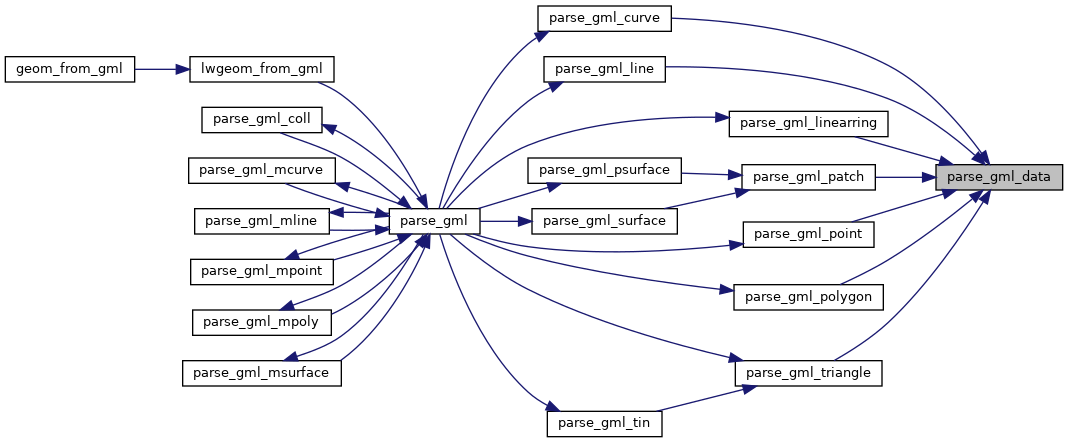
Referenced by parse_gml_curve(), parse_gml_line(), parse_gml_linearring(), parse_gml_patch(), parse_gml_point(), parse_gml_polygon(), and parse_gml_triangle().
Here is the call graph for this function:
Here is the caller graph for this function: