◆ gserialized_datum_get_gbox_p()
| int gserialized_datum_get_gbox_p | ( | Datum | gsdatum, |
| GBOX * | gbox | ||
| ) |
Given a GSERIALIZED datum, as quickly as possible (peaking into the top of the memory) return the gbox extents.
Does not deserialize the geometry, but WARNING returns a slightly larger bounding box than actually encompasses the objects. For geography objects returns geocentric bounding box, for geometry objects returns cartesian bounding box.
Definition at line 514 of file gserialized_gist_2d.c.
int gserialized_datum_get_internals_p(Datum gsdatum, GBOX *gbox, lwflags_t *flags, uint8_t *type, int32_t *srid)
Peak into a GSERIALIZED datum to find its bounding box and some other metadata.
Definition: gserialized_gist_2d.c:475
References gserialized_datum_get_internals_p(), and ovdump::type.
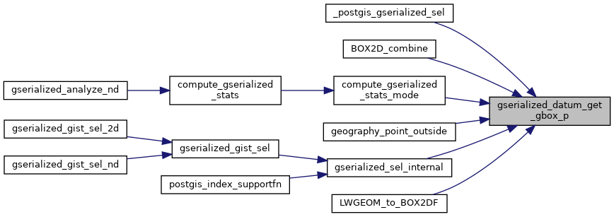
Referenced by _postgis_gserialized_sel(), BOX2D_combine(), compute_gserialized_stats_mode(), geography_point_outside(), gserialized_sel_internal(), and LWGEOM_to_BOX2DF().
Here is the call graph for this function:
Here is the caller graph for this function: