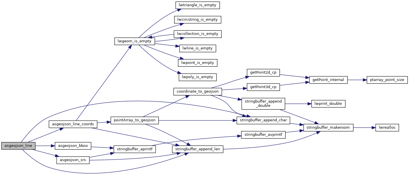
◆ asgeojson_line()
|
static |
Line Geometry.
Definition at line 207 of file lwout_geojson.c.
static void asgeojson_srs(stringbuffer_t *sb, const geojson_opts *opts)
Definition: lwout_geojson.c:95
static void asgeojson_bbox(stringbuffer_t *sb, const geojson_opts *opts)
Definition: lwout_geojson.c:105
static void asgeojson_line_coords(stringbuffer_t *sb, const LWLINE *line, const geojson_opts *opts, int tagged)
Definition: lwout_geojson.c:141
static void stringbuffer_append_char(stringbuffer_t *s, char c)
Definition: stringbuffer.h:119
static void stringbuffer_append_len(stringbuffer_t *s, const char *a, size_t alen)
Append the specified string to the stringbuffer_t using known length.
Definition: stringbuffer.h:93
References asgeojson_bbox(), asgeojson_line_coords(), asgeojson_srs(), geojson_tagged, ovdump::opts, stringbuffer_append_char(), and stringbuffer_append_len().
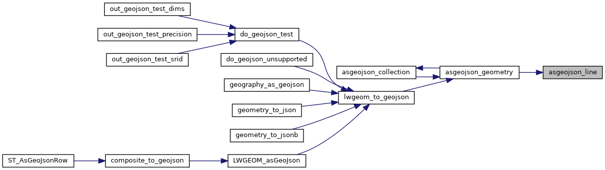
Referenced by asgeojson_geometry().
Here is the call graph for this function:
Here is the caller graph for this function: