PostGIS  3.4.0dev-r@@SVN_REVISION@@

◆ asgeojson_bbox()

static void asgeojson_bbox ( stringbuffer_t sb,
const geojson_opts opts 
)
static

Definition at line 105 of file lwout_geojson.c.

106 {
107  if (!opts->bbox) return;
108  if (!opts->hasz)
109  stringbuffer_aprintf(sb, "\"bbox\":[%.*f,%.*f,%.*f,%.*f],",
110  opts->precision, opts->bbox->xmin,
111  opts->precision, opts->bbox->ymin,
112  opts->precision, opts->bbox->xmax,
113  opts->precision, opts->bbox->ymax);
114  else
115  stringbuffer_aprintf(sb, "\"bbox\":[%.*f,%.*f,%.*f,%.*f,%.*f,%.*f],",
116  opts->precision, opts->bbox->xmin,
117  opts->precision, opts->bbox->ymin,
118  opts->precision, opts->bbox->zmin,
119  opts->precision, opts->bbox->xmax,
120  opts->precision, opts->bbox->ymax,
121  opts->precision, opts->bbox->zmax);
122  return;
123 }
opts
Definition: ovdump.py:45
int stringbuffer_aprintf(stringbuffer_t *s, const char *fmt,...)
Appends a formatted string to the current string buffer, using the format and argument list provided.
Definition: stringbuffer.c:247

References ovdump::opts, and stringbuffer_aprintf().

Referenced by asgeojson_collection(), asgeojson_line(), asgeojson_multiline(), asgeojson_multipoint(), asgeojson_multipolygon(), asgeojson_point(), asgeojson_poly(), and asgeojson_triangle().

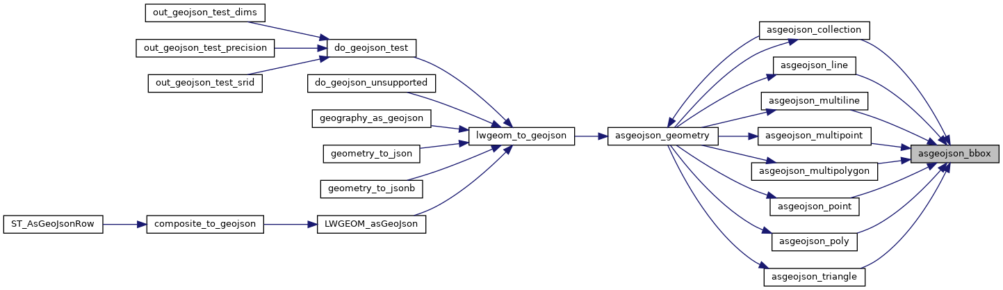
Here is the call graph for this function:
Here is the caller graph for this function: