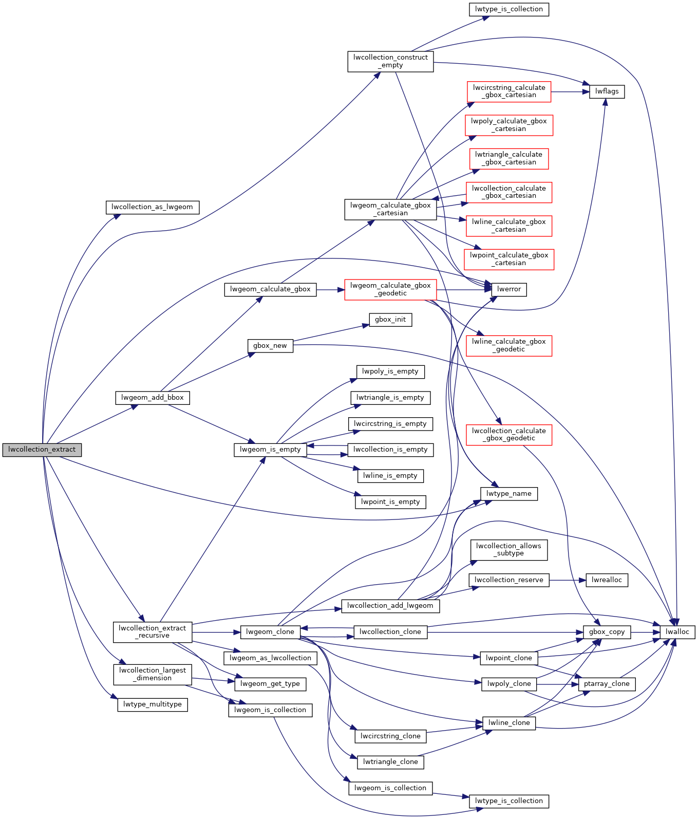
◆ lwcollection_extract()
| LWCOLLECTION* lwcollection_extract | ( | const LWCOLLECTION * | col, |
| uint32_t | type | ||
| ) |
Definition at line 432 of file lwcollection.c.
LWGEOM * lwcollection_as_lwgeom(const LWCOLLECTION *obj)
Definition: lwgeom.c:309
const char * lwtype_name(uint8_t type)
Return the type name string associated with a type number (e.g.
Definition: lwutil.c:216
static int lwcollection_extract_recursive(const LWCOLLECTION *col, uint32_t type, LWCOLLECTION *col_out)
Definition: lwcollection.c:408
static uint32_t lwcollection_largest_dimension(const LWCOLLECTION *col)
Examines contents of collection and finds the largest coordinate dimension of all components.
Definition: lwcollection.c:384
LWCOLLECTION * lwcollection_construct_empty(uint8_t type, int32_t srid, char hasz, char hasm)
Definition: lwcollection.c:92
Definition: liblwgeom.h:573
References COLLECTIONTYPE, LWCOLLECTION::flags, FLAGS_GET_M, FLAGS_GET_Z, LINETYPE, lwcollection_as_lwgeom(), lwcollection_construct_empty(), lwcollection_extract_recursive(), lwcollection_largest_dimension(), lwerror(), lwgeom_add_bbox(), lwtype_multitype(), lwtype_name(), POINTTYPE, POLYGONTYPE, LWCOLLECTION::srid, and ovdump::type.
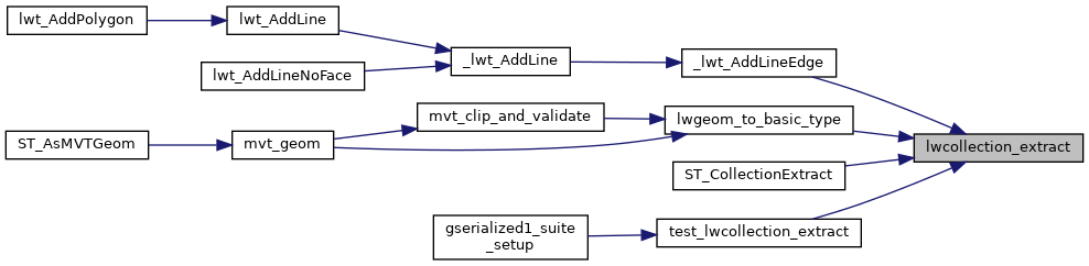
Referenced by _lwt_AddLineEdge(), lwgeom_to_basic_type(), ST_CollectionExtract(), and test_lwcollection_extract().
Here is the call graph for this function:
Here is the caller graph for this function: