◆ geography_line_substring()
| Datum geography_line_substring | ( | PG_FUNCTION_ARGS | ) |
Definition at line 1214 of file geography_measurement.c.
int32_t gserialized_get_srid(const GSERIALIZED *g)
Extract the SRID from the serialized form (it is packed into three bytes so this is a handy function)...
Definition: gserialized.c:126
LWGEOM * lwgeom_from_gserialized(const GSERIALIZED *g)
Allocate a new LWGEOM from a GSERIALIZED.
Definition: gserialized.c:239
int gserialized_is_empty(const GSERIALIZED *g)
Check if a GSERIALIZED is empty without deserializing first.
Definition: gserialized.c:152
void lwgeom_set_geodetic(LWGEOM *geom, int value)
Set the FLAGS geodetic bit on geometry an all sub-geometries and pointlists.
Definition: lwgeom.c:964
LWGEOM * geography_substring(const LWLINE *line, const SPHEROID *s, double from, double to, double tolerance)
Return the part of a line between two fractional locations.
Definition: lwgeodetic_measures.c:104
Definition: liblwgeom.h:443
Definition: liblwgeom.h:457
Definition: liblwgeom.h:481
Definition: liblwgeom.h:374
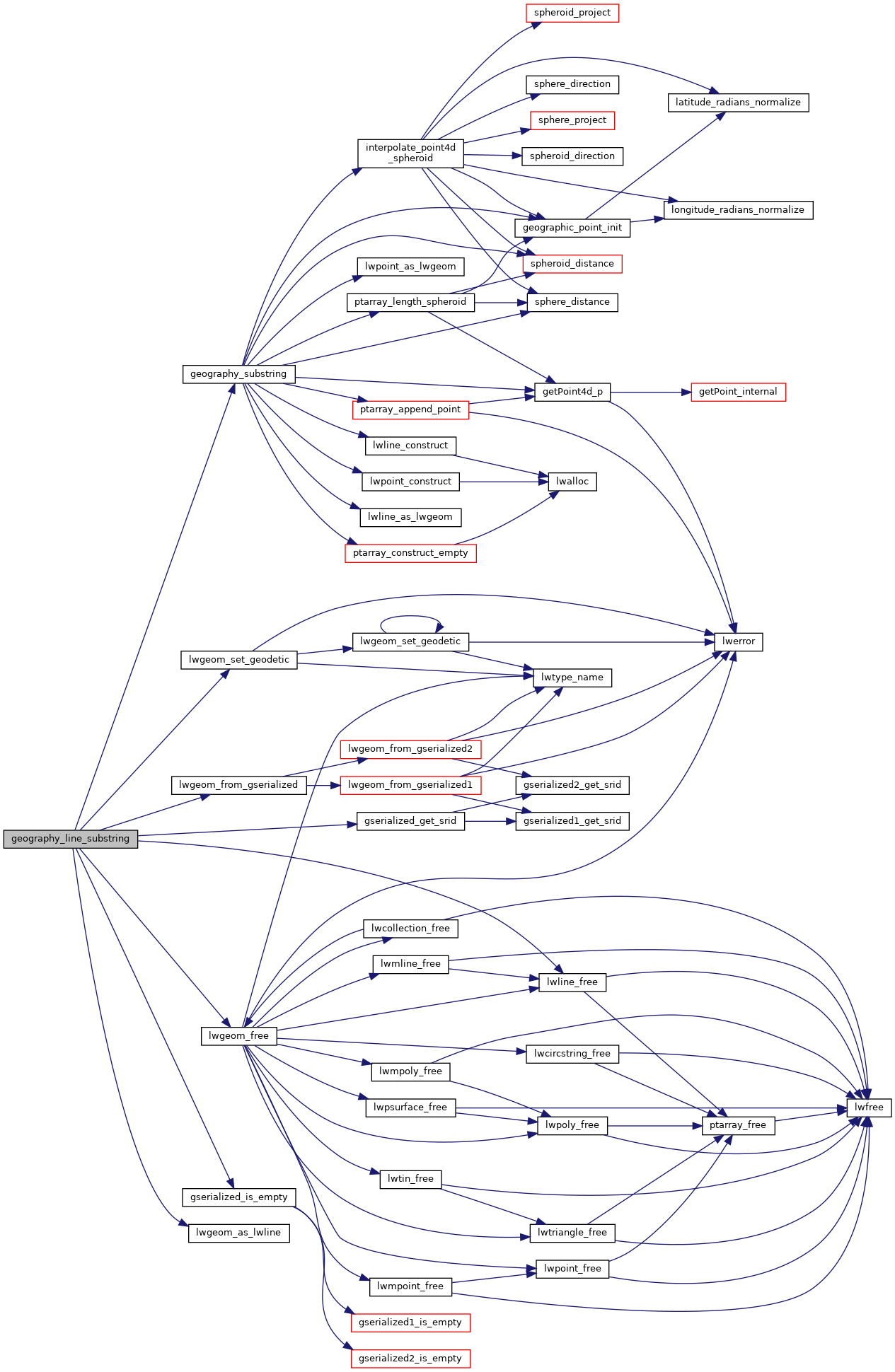
References FP_TOLERANCE, geography_substring(), gserialized_get_srid(), gserialized_is_empty(), lwgeom_as_lwline(), lwgeom_free(), lwgeom_from_gserialized(), lwgeom_set_geodetic(), lwline_free(), result, and s.
Here is the call graph for this function: