PostGIS  3.4.0dev-r@@SVN_REVISION@@

◆ geography_substring()

LWGEOM* geography_substring ( const LWLINE line,
const SPHEROID s,
double  from,
double  to,
double  tolerance 
)

Return the part of a line between two fractional locations.

Definition at line 104 of file lwgeodetic_measures.c.

109 {
110  POINTARRAY *dpa;
111  POINTARRAY *ipa = lwline->points;
112  LWGEOM *lwresult;
113  POINT4D pt;
114  POINT4D p1, p2;
115  GEOGRAPHIC_POINT g1, g2;
116  int nsegs, i;
117  double length, slength, tlength;
118  int state = 0; /* 0 = before, 1 = inside */
119  uint32_t srid = lwline->srid;
120 
121  /*
122  * Create a dynamic pointarray with an initial capacity
123  * equal to full copy of input points
124  */
126  (char) FLAGS_GET_Z(ipa->flags),
127  (char) FLAGS_GET_M(ipa->flags),
128  ipa->npoints);
129 
130  /* Compute total line length */
131  length = ptarray_length_spheroid(ipa, s);
132 
133  /* Get 'from' and 'to' lengths */
134  from = length * from;
135  to = length * to;
136  tlength = 0;
137  getPoint4d_p(ipa, 0, &p1);
138  geographic_point_init(p1.x, p1.y, &g1);
139  nsegs = ipa->npoints - 1;
140  for (i = 0; i < nsegs; i++)
141  {
142  double dseg;
143  getPoint4d_p(ipa, (uint32_t) i+1, &p2);
144  geographic_point_init(p2.x, p2.y, &g2);
145 
146  /* Find the length of this segment */
147  /* Special sphere case */
148  if ( s->a == s->b )
149  slength = s->radius * sphere_distance(&g1, &g2);
150  /* Spheroid case */
151  else
152  slength = spheroid_distance(&g1, &g2, s);
153 
154  /* We are before requested start. */
155  if (state == 0) /* before */
156  {
157  if (fabs ( from - ( tlength + slength ) ) <= tolerance)
158  {
159  /* Second point is our start */
160  ptarray_append_point(dpa, &p2, LW_FALSE);
161  state = 1; /* we're inside now */
162  goto END;
163  }
164  else if (fabs(from - tlength) <= tolerance)
165  {
166  /* First point is our start */
167  ptarray_append_point(dpa, &p1, LW_FALSE);
168  /*
169  * We're inside now, but will check
170  * 'to' point as well
171  */
172  state = 1;
173  }
174  /*
175  * Didn't reach the 'from' point,
176  * nothing to do
177  */
178  else if (from > tlength + slength)
179  {
180  goto END;
181  }
182  else /* tlength < from < tlength+slength */
183  {
184  /* Our start is between first and second point */
185  dseg = (from - tlength) / slength;
186  interpolate_point4d_spheroid(&p1, &p2, &pt, s, dseg);
187  ptarray_append_point(dpa, &pt, LW_FALSE);
188  /* We're inside now, but will check 'to' point as well */
189  state = 1;
190  }
191  }
192 
193  if (state == 1) /* inside */
194  {
195  /* 'to' point is our second point. */
196  if (fabs(to - ( tlength + slength ) ) <= tolerance )
197  {
198  ptarray_append_point(dpa, &p2, LW_FALSE);
199  break; /* substring complete */
200  }
201  /*
202  * 'to' point is our first point.
203  * (should only happen if 'to' is 0)
204  */
205  else if (fabs(to - tlength) <= tolerance)
206  {
207  ptarray_append_point(dpa, &p1, LW_FALSE);
208  break; /* substring complete */
209  }
210  /*
211  * Didn't reach the 'end' point,
212  * just copy second point
213  */
214  else if (to > tlength + slength)
215  {
216  ptarray_append_point(dpa, &p2, LW_FALSE);
217  goto END;
218  }
219  /*
220  * 'to' point falls on this segment
221  * Interpolate and break.
222  */
223  else if (to < tlength + slength )
224  {
225  dseg = (to - tlength) / slength;
226  interpolate_point4d_spheroid(&p1, &p2, &pt, s, dseg);
227  ptarray_append_point(dpa, &pt, LW_FALSE);
228  break;
229  }
230  }
231 
232  END:
233  tlength += slength;
234  memcpy(&p1, &p2, sizeof(POINT4D));
235  }
236 
237  if (dpa->npoints <= 1) {
238  lwresult = lwpoint_as_lwgeom(lwpoint_construct(srid, NULL, dpa));
239  }
240  else {
241  lwresult = lwline_as_lwgeom(lwline_construct(srid, NULL, dpa));
242  }
243 
244  return lwresult;
245 }
char * s
Definition: cu_in_wkt.c:23
LWGEOM * lwline_as_lwgeom(const LWLINE *obj)
Definition: lwgeom.c:339
#define LW_FALSE
Definition: liblwgeom.h:94
#define FLAGS_GET_Z(flags)
Definition: liblwgeom.h:165
LWLINE * lwline_construct(int32_t srid, GBOX *bbox, POINTARRAY *points)
Definition: lwline.c:42
LWGEOM * lwpoint_as_lwgeom(const LWPOINT *obj)
Definition: lwgeom.c:344
LWPOINT * lwpoint_construct(int32_t srid, GBOX *bbox, POINTARRAY *point)
Definition: lwpoint.c:129
POINTARRAY * ptarray_construct_empty(char hasz, char hasm, uint32_t maxpoints)
Create a new POINTARRAY with no points.
Definition: ptarray.c:59
#define FLAGS_GET_M(flags)
Definition: liblwgeom.h:166
int getPoint4d_p(const POINTARRAY *pa, uint32_t n, POINT4D *point)
Definition: lwgeom_api.c:125
int ptarray_append_point(POINTARRAY *pa, const POINT4D *pt, int allow_duplicates)
Append a point to the end of an existing POINTARRAY If allow_duplicate is LW_FALSE,...
Definition: ptarray.c:147
void geographic_point_init(double lon, double lat, GEOGRAPHIC_POINT *g)
Initialize a geographic point.
Definition: lwgeodetic.c:180
double ptarray_length_spheroid(const POINTARRAY *pa, const SPHEROID *s)
Definition: lwgeodetic.c:3243
double sphere_distance(const GEOGRAPHIC_POINT *s, const GEOGRAPHIC_POINT *e)
Given two points on a unit sphere, calculate their distance apart in radians.
Definition: lwgeodetic.c:948
double spheroid_distance(const GEOGRAPHIC_POINT *a, const GEOGRAPHIC_POINT *b, const SPHEROID *spheroid)
Computes the shortest distance along the surface of the spheroid between two points,...
Definition: lwspheroid.c:79
static void interpolate_point4d_spheroid(const POINT4D *p1, const POINT4D *p2, POINT4D *p, const SPHEROID *s, double f)
Find interpolation point p between geography points p1 and p2 so that the len(p1,p) == len(p1,...
Point in spherical coordinates on the world.
Definition: lwgeodetic.h:54
double x
Definition: liblwgeom.h:414
double y
Definition: liblwgeom.h:414
lwflags_t flags
Definition: liblwgeom.h:431
uint32_t npoints
Definition: liblwgeom.h:427

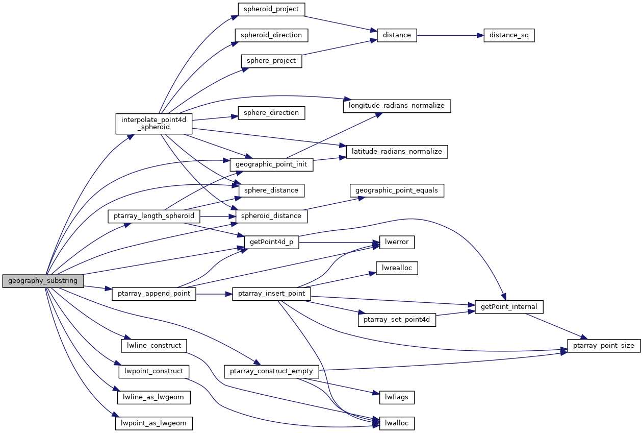
References POINTARRAY::flags, FLAGS_GET_M, FLAGS_GET_Z, geographic_point_init(), getPoint4d_p(), interpolate_point4d_spheroid(), LW_FALSE, lwline_as_lwgeom(), lwline_construct(), lwpoint_as_lwgeom(), lwpoint_construct(), POINTARRAY::npoints, LWLINE::points, ptarray_append_point(), ptarray_construct_empty(), ptarray_length_spheroid(), s, sphere_distance(), spheroid_distance(), LWLINE::srid, POINT4D::x, and POINT4D::y.

Referenced by geography_line_substring().

Here is the call graph for this function:
Here is the caller graph for this function: