PostGIS  3.4.0dev-r@@SVN_REVISION@@

◆ lwgeom_cpa_within()

int lwgeom_cpa_within ( const LWGEOM g1,
const LWGEOM g2,
double  maxdist 
)

Is the closest point of approach within a distance ?

Returns
LW_TRUE or LW_FALSE

Definition at line 1317 of file lwlinearreferencing.c.

1318 {
1319  LWLINE *l1, *l2;
1320  int i;
1321  GBOX gbox1, gbox2;
1322  double tmin, tmax;
1323  double *mvals;
1324  int nmvals = 0;
1325  double maxdist2 = maxdist * maxdist;
1326  int within = LW_FALSE;
1327 
1328  if (!lwgeom_has_m(g1) || !lwgeom_has_m(g2))
1329  {
1330  lwerror("Both input geometries must have a measure dimension");
1331  return LW_FALSE;
1332  }
1333 
1334  l1 = lwgeom_as_lwline(g1);
1335  l2 = lwgeom_as_lwline(g2);
1336 
1337  if (!l1 || !l2)
1338  {
1339  lwerror("Both input geometries must be linestrings");
1340  return LW_FALSE;
1341  }
1342 
1343  if (l1->points->npoints < 2 || l2->points->npoints < 2)
1344  {
1345  /* TODO: return distance between these two points */
1346  lwerror("Both input lines must have at least 2 points");
1347  return LW_FALSE;
1348  }
1349 
1350  /* We use lwgeom_calculate_gbox() instead of lwgeom_get_gbox() */
1351  /* because we cannot afford the float rounding inaccuracy when */
1352  /* we compare the ranges for overlap below */
1353  lwgeom_calculate_gbox(g1, &gbox1);
1354  lwgeom_calculate_gbox(g2, &gbox2);
1355 
1356  /*
1357  * Find overlapping M range
1358  * WARNING: may be larger than the real one
1359  */
1360 
1361  tmin = FP_MAX(gbox1.mmin, gbox2.mmin);
1362  tmax = FP_MIN(gbox1.mmax, gbox2.mmax);
1363 
1364  if (tmax < tmin)
1365  {
1366  LWDEBUG(1, "Inputs never exist at the same time");
1367  return LW_FALSE;
1368  }
1369 
1370  /*
1371  * Collect M values in common time range from inputs
1372  */
1373 
1374  mvals = lwalloc(sizeof(double) * (l1->points->npoints + l2->points->npoints));
1375 
1376  /* TODO: also clip the lines ? */
1377  nmvals = ptarray_collect_mvals(l1->points, tmin, tmax, mvals);
1378  nmvals += ptarray_collect_mvals(l2->points, tmin, tmax, mvals + nmvals);
1379 
1380  /* Sort values in ascending order */
1381  qsort(mvals, nmvals, sizeof(double), compare_double);
1382 
1383  /* Remove duplicated values */
1384  nmvals = uniq(mvals, nmvals);
1385 
1386  if (nmvals < 2)
1387  {
1388  /* there's a single time, must be that one... */
1389  double t0 = mvals[0];
1390  POINT4D p0, p1;
1391  LWDEBUGF(1, "Inputs only exist both at a single time (%g)", t0);
1392  if (-1 == ptarray_locate_along_linear(l1->points, t0, &p0, 0))
1393  {
1394  lwnotice("Could not find point with M=%g on first geom", t0);
1395  return LW_FALSE;
1396  }
1397  if (-1 == ptarray_locate_along_linear(l2->points, t0, &p1, 0))
1398  {
1399  lwnotice("Could not find point with M=%g on second geom", t0);
1400  return LW_FALSE;
1401  }
1402  if (distance3d_pt_pt((POINT3D *)&p0, (POINT3D *)&p1) <= maxdist)
1403  within = LW_TRUE;
1404  lwfree(mvals);
1405  return within;
1406  }
1407 
1408  /*
1409  * For each consecutive pair of measures, compute time of closest point
1410  * approach and actual distance between points at that time
1411  */
1412  for (i = 1; i < nmvals; ++i)
1413  {
1414  double t0 = mvals[i - 1];
1415  double t1 = mvals[i];
1416 #if POSTGIS_DEBUG_LEVEL >= 1
1417  double t;
1418 #endif
1419  POINT4D p0, p1, q0, q1;
1420  int seg;
1421  double dist2;
1422 
1423  // lwnotice("T %g-%g", t0, t1);
1424 
1425  seg = ptarray_locate_along_linear(l1->points, t0, &p0, 0);
1426  if (-1 == seg)
1427  continue; /* possible, if GBOX is approximated */
1428  // lwnotice("Measure %g on segment %d of line 1: %g, %g, %g", t0, seg, p0.x, p0.y, p0.z);
1429 
1430  seg = ptarray_locate_along_linear(l1->points, t1, &p1, seg);
1431  if (-1 == seg)
1432  continue; /* possible, if GBOX is approximated */
1433  // lwnotice("Measure %g on segment %d of line 1: %g, %g, %g", t1, seg, p1.x, p1.y, p1.z);
1434 
1435  seg = ptarray_locate_along_linear(l2->points, t0, &q0, 0);
1436  if (-1 == seg)
1437  continue; /* possible, if GBOX is approximated */
1438  // lwnotice("Measure %g on segment %d of line 2: %g, %g, %g", t0, seg, q0.x, q0.y, q0.z);
1439 
1440  seg = ptarray_locate_along_linear(l2->points, t1, &q1, seg);
1441  if (-1 == seg)
1442  continue; /* possible, if GBOX is approximated */
1443  // lwnotice("Measure %g on segment %d of line 2: %g, %g, %g", t1, seg, q1.x, q1.y, q1.z);
1444 
1445 #if POSTGIS_DEBUG_LEVEL >= 1
1446  t =
1447 #endif
1448  segments_tcpa(&p0, &p1, &q0, &q1, t0, t1);
1449 
1450  /*
1451  lwnotice("Closest points: %g,%g,%g and %g,%g,%g at time %g",
1452  p0.x, p0.y, p0.z,
1453  q0.x, q0.y, q0.z, t);
1454  */
1455 
1456  dist2 = (q0.x - p0.x) * (q0.x - p0.x) + (q0.y - p0.y) * (q0.y - p0.y) + (q0.z - p0.z) * (q0.z - p0.z);
1457  if (dist2 <= maxdist2)
1458  {
1459  LWDEBUGF(1, "Within distance %g at time %g, breaking", sqrt(dist2), t);
1460  within = LW_TRUE;
1461  break;
1462  }
1463  }
1464 
1465  /*
1466  * Release memory
1467  */
1468 
1469  lwfree(mvals);
1470 
1471  return within;
1472 }
LWLINE * lwgeom_as_lwline(const LWGEOM *lwgeom)
Definition: lwgeom.c:179
#define LW_FALSE
Definition: liblwgeom.h:94
double distance3d_pt_pt(const POINT3D *p1, const POINT3D *p2)
Definition: measures3d.c:1029
void lwfree(void *mem)
Definition: lwutil.c:242
int lwgeom_calculate_gbox(const LWGEOM *lwgeom, GBOX *gbox)
Calculate bounding box of a geometry, automatically taking into account whether it is cartesian or ge...
Definition: lwgeom.c:755
void * lwalloc(size_t size)
Definition: lwutil.c:227
#define LW_TRUE
Return types for functions with status returns.
Definition: liblwgeom.h:93
int lwgeom_has_m(const LWGEOM *geom)
Return LW_TRUE if geometry has M ordinates.
Definition: lwgeom.c:941
#define FP_MAX(A, B)
#define FP_MIN(A, B)
#define LWDEBUG(level, msg)
Definition: lwgeom_log.h:83
#define LWDEBUGF(level, msg,...)
Definition: lwgeom_log.h:88
void lwerror(const char *fmt,...)
Write a notice out to the error handler.
Definition: lwutil.c:190
void lwnotice(const char *fmt,...)
Write a notice out to the notice handler.
Definition: lwutil.c:177
static int ptarray_collect_mvals(const POINTARRAY *pa, double tmin, double tmax, double *mvals)
static int compare_double(const void *pa, const void *pb)
static double segments_tcpa(POINT4D *p0, const POINT4D *p1, POINT4D *q0, const POINT4D *q1, double t0, double t1)
static int ptarray_locate_along_linear(const POINTARRAY *pa, double m, POINT4D *p, uint32_t from)
static int uniq(double *vals, int nvals)
Datum within(PG_FUNCTION_ARGS)
double mmax
Definition: liblwgeom.h:361
double mmin
Definition: liblwgeom.h:360
POINTARRAY * points
Definition: liblwgeom.h:483
double x
Definition: liblwgeom.h:414
double z
Definition: liblwgeom.h:414
double y
Definition: liblwgeom.h:414
uint32_t npoints
Definition: liblwgeom.h:427

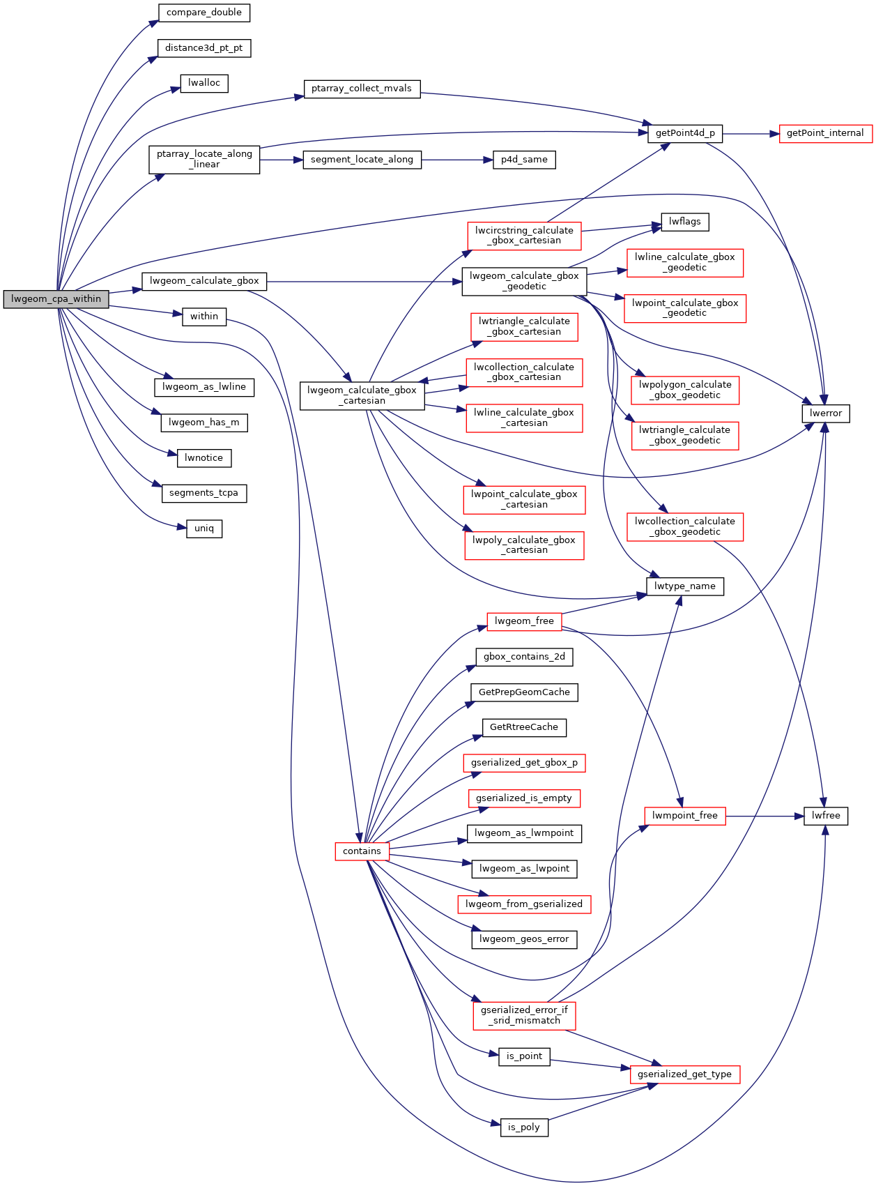
References compare_double(), distance3d_pt_pt(), FP_MAX, FP_MIN, LW_FALSE, LW_TRUE, lwalloc(), LWDEBUG, LWDEBUGF, lwerror(), lwfree(), lwgeom_as_lwline(), lwgeom_calculate_gbox(), lwgeom_has_m(), lwnotice(), GBOX::mmax, GBOX::mmin, POINTARRAY::npoints, LWLINE::points, ptarray_collect_mvals(), ptarray_locate_along_linear(), segments_tcpa(), uniq(), within(), POINT4D::x, POINT4D::y, and POINT4D::z.

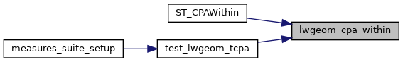
Referenced by ST_CPAWithin(), and test_lwgeom_tcpa().

Here is the call graph for this function:
Here is the caller graph for this function: