◆ rt_band_get_pixel_resample()
| rt_errorstate rt_band_get_pixel_resample | ( | rt_band | band, |
| double | xr, | ||
| double | yr, | ||
| rt_resample_type | resample, | ||
| double * | r_value, | ||
| int * | r_nodata | ||
| ) |
Retrieve a point value from the raster using a world coordinate and selected interpolation.
Retrieve a point value from the raster using a world coordinate and selected resampling method.
- Parameters
-
band : the band to read for values xr : x unrounded raster coordinate yr : y unrounded raster coordinate r_value : return pointer for point value r_nodata : return pointer for if this is a nodata
- Returns
- ES_ERROR on error, otherwise ES_NONE
Definition at line 1221 of file rt_band.c.
rt_errorstate rt_band_get_pixel(rt_band band, int x, int y, double *value, int *nodata)
Get pixel value.
Definition: rt_band.c:1376
rt_errorstate rt_band_get_pixel_bilinear(rt_band band, double xr, double yr, double *r_value, int *r_nodata)
Retrieve a point value from the raster using a world coordinate and bilinear interpolation.
Definition: rt_band.c:1260
References ovdump::band, ES_ERROR, rt_band_get_pixel(), rt_band_get_pixel_bilinear(), RT_BILINEAR, RT_NEAREST, and rtwarn().
Referenced by RASTER_getPixelValueResample(), and rt_raster_copy_to_geometry().
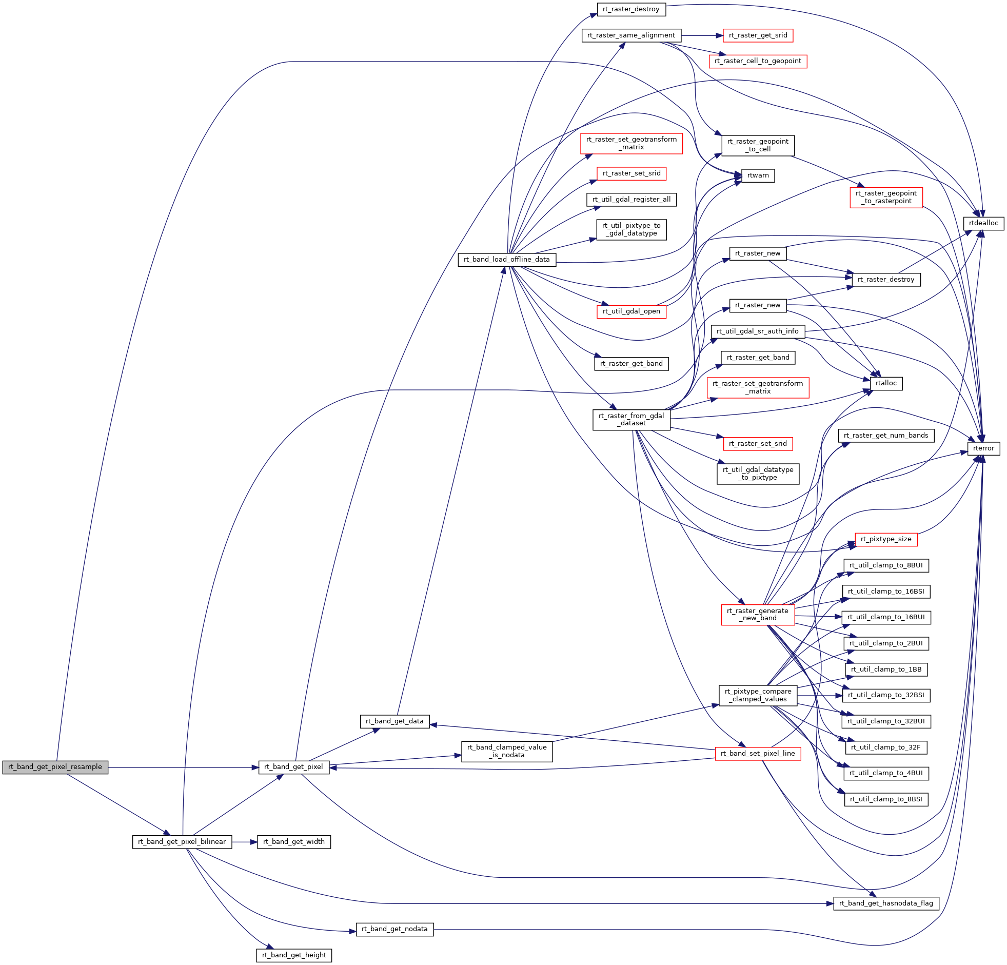
Here is the call graph for this function:
Here is the caller graph for this function: