◆ geography_distance_cache_tolerance()
|
static |
Definition at line 157 of file geography_measurement_trees.c.
static CircTreeGeomCache * GetCircTreeGeomCache(FunctionCallInfo fcinfo, SHARED_GSERIALIZED *g1, SHARED_GSERIALIZED *g2)
Definition: geography_measurement_trees.c:93
static int CircTreePIP(const CIRC_NODE *tree1, const GSERIALIZED *g1, const POINT4D *in_point)
Definition: geography_measurement_trees.c:99
LWGEOM * lwgeom_from_gserialized(const GSERIALIZED *g)
Allocate a new LWGEOM from a GSERIALIZED.
Definition: gserialized.c:239
uint32_t gserialized_get_type(const GSERIALIZED *g)
Extract the geometry type from the serialized form (it hides in the anonymous data area,...
Definition: gserialized.c:89
double circ_tree_distance_tree(const CIRC_NODE *n1, const CIRC_NODE *n2, const SPHEROID *spheroid, double threshold)
Definition: lwgeodetic_tree.c:609
int circ_tree_get_point(const CIRC_NODE *node, POINT2D *pt)
Returns a POINT2D that is a vertex of the input shape.
Definition: lwgeodetic_tree.c:461
void circ_tree_free(CIRC_NODE *node)
Recurse from top of node tree and free all children.
Definition: lwgeodetic_tree.c:50
CIRC_NODE * lwgeom_calculate_circ_tree(const LWGEOM *lwgeom)
Definition: lwgeodetic_tree.c:1005
Definition: liblwgeom.h:443
Definition: liblwgeom.h:457
Definition: liblwgeom.h:389
Definition: liblwgeom.h:413
Note that p1 and p2 are pointers into an independent POINTARRAY, do not free them.
Definition: lwgeodetic_tree.h:37
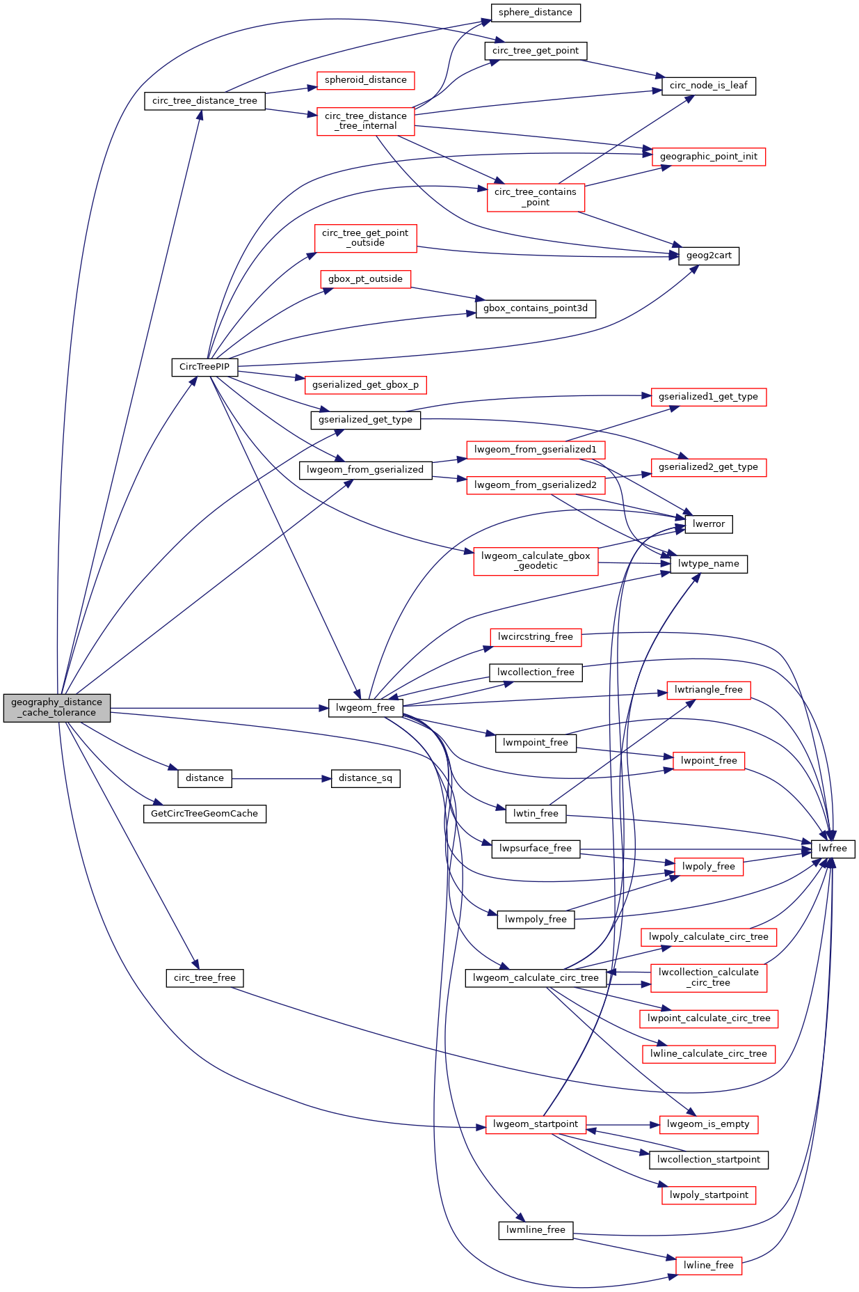
References circ_tree_distance_tree(), circ_tree_free(), circ_tree_get_point(), CircTreePIP(), distance(), CircTreeGeomCache::gcache, GetCircTreeGeomCache(), gserialized_get_type(), CircTreeGeomCache::index, LW_FAILURE, LW_SUCCESS, lwgeom_calculate_circ_tree(), lwgeom_free(), lwgeom_from_gserialized(), lwgeom_startpoint(), MULTIPOLYGONTYPE, POINTTYPE, POLYGONTYPE, s, POINT2D::x, POINT4D::x, POINT2D::y, and POINT4D::y.
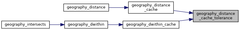
Referenced by geography_distance_cache(), and geography_dwithin_cache().
Here is the call graph for this function:
Here is the caller graph for this function: