◆ geography_distance_cache()
| int geography_distance_cache | ( | FunctionCallInfo | fcinfo, |
| SHARED_GSERIALIZED * | g1, | ||
| SHARED_GSERIALIZED * | g2, | ||
| const SPHEROID * | s, | ||
| double * | distance | ||
| ) |
Definition at line 254 of file geography_measurement_trees.c.
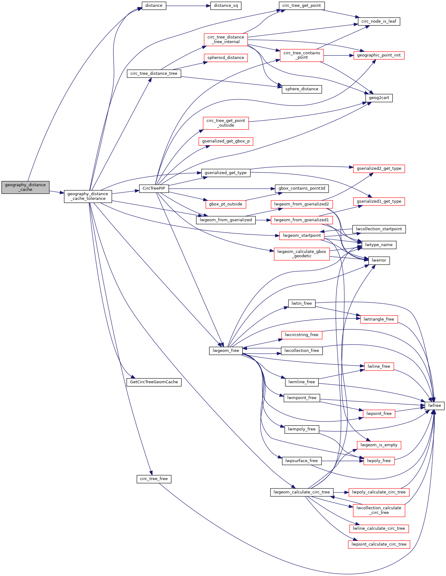
static int geography_distance_cache_tolerance(FunctionCallInfo fcinfo, SHARED_GSERIALIZED *shared_g1, SHARED_GSERIALIZED *shared_g2, const SPHEROID *s, double tolerance, double *distance)
Definition: geography_measurement_trees.c:157
References distance(), FP_TOLERANCE, geography_distance_cache_tolerance(), and s.
Referenced by geography_distance().
Here is the call graph for this function:
Here is the caller graph for this function: