◆ geography_interpolate_points()
| LWGEOM* geography_interpolate_points | ( | const LWLINE * | line, |
| double | length_fraction, | ||
| const SPHEROID * | s, | ||
| char | repeat | ||
| ) |
Interpolate a point along a geographic line.
Definition at line 256 of file lwgeodetic_measures.c.
323 while ( length_fraction < length_fraction_consumed + segment_length_frac && points_found < points_to_interpolate )
LWGEOM * lwgeom_clone_deep(const LWGEOM *lwgeom)
Deep clone an LWGEOM, everything is copied.
Definition: lwgeom.c:529
POINTARRAY * ptarray_construct(char hasz, char hasm, uint32_t npoints)
Construct an empty pointarray, allocating storage and setting the npoints, but not filling in any inf...
Definition: ptarray.c:51
int lwgeom_has_z(const LWGEOM *geom)
Return LW_TRUE if geometry has Z ordinates.
Definition: lwgeom.c:934
LWPOINT * lwpoint_construct(int32_t srid, GBOX *bbox, POINTARRAY *point)
Definition: lwpoint.c:129
int getPoint4d_p(const POINTARRAY *pa, uint32_t n, POINT4D *point)
Definition: lwgeom_api.c:125
int lwgeom_has_m(const LWGEOM *geom)
Return LW_TRUE if geometry has M ordinates.
Definition: lwgeom.c:941
void ptarray_set_point4d(POINTARRAY *pa, uint32_t n, const POINT4D *p4d)
Definition: lwgeom_api.c:369
LWMPOINT * lwmpoint_construct(int32_t srid, const POINTARRAY *pa)
Definition: lwmpoint.c:52
int lwline_is_empty(const LWLINE *line)
void geographic_point_init(double lon, double lat, GEOGRAPHIC_POINT *g)
Initialize a geographic point.
Definition: lwgeodetic.c:180
double ptarray_length_spheroid(const POINTARRAY *pa, const SPHEROID *s)
Definition: lwgeodetic.c:3243
double sphere_distance(const GEOGRAPHIC_POINT *s, const GEOGRAPHIC_POINT *e)
Given two points on a unit sphere, calculate their distance apart in radians.
Definition: lwgeodetic.c:948
void geog2cart(const GEOGRAPHIC_POINT *g, POINT3D *p)
Convert spherical coordinates to cartesian coordinates on unit sphere.
Definition: lwgeodetic.c:404
double spheroid_distance(const GEOGRAPHIC_POINT *a, const GEOGRAPHIC_POINT *b, const SPHEROID *spheroid)
Computes the shortest distance along the surface of the spheroid between two points,...
Definition: lwspheroid.c:79
static void interpolate_point4d_spheroid(const POINT4D *p1, const POINT4D *p2, POINT4D *p, const SPHEROID *s, double f)
Find interpolation point p between geography points p1 and p2 so that the len(p1,p) == len(p1,...
Definition: lwgeodetic_measures.c:60
Definition: liblwgeom.h:457
Definition: liblwgeom.h:401
Definition: liblwgeom.h:413
Definition: liblwgeom.h:426
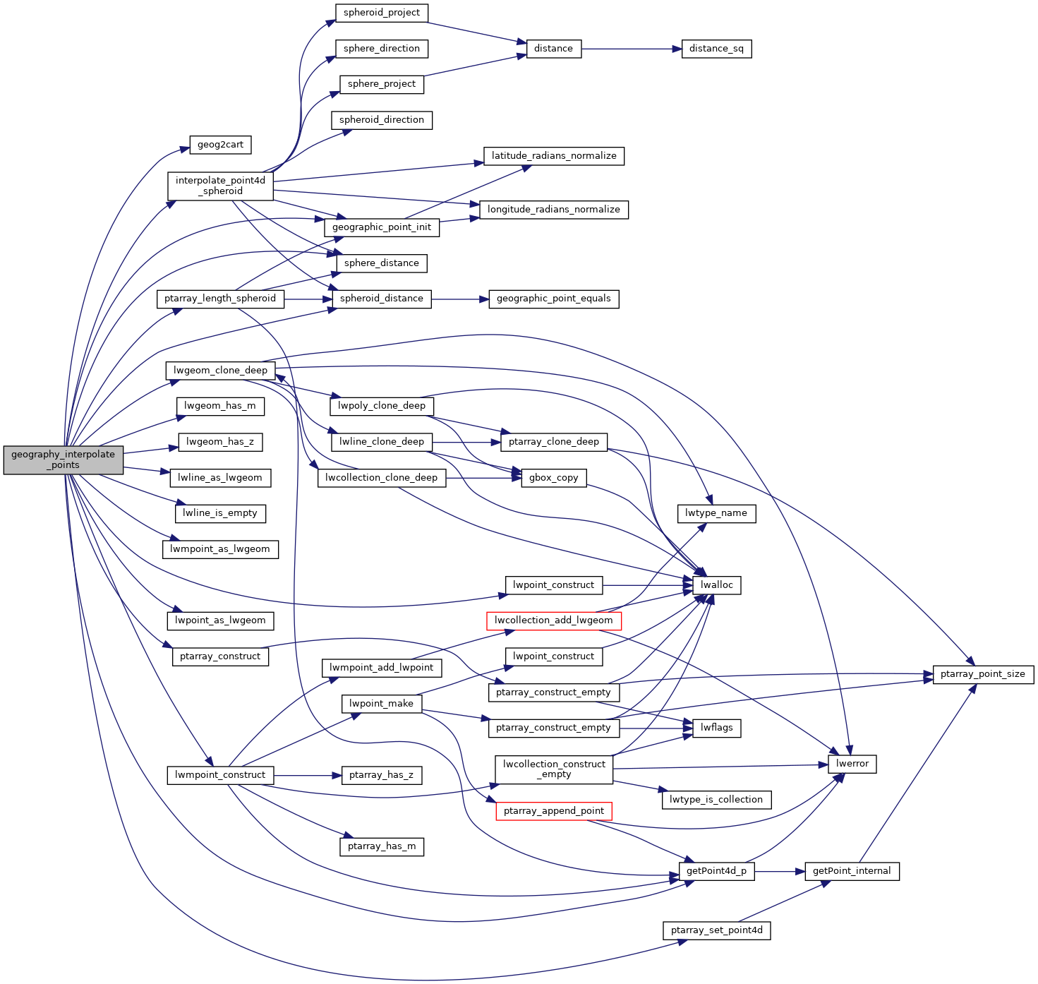
References geog2cart(), geographic_point_init(), getPoint4d_p(), interpolate_point4d_spheroid(), lwgeom_clone_deep(), lwgeom_has_m(), lwgeom_has_z(), lwline_as_lwgeom(), lwline_is_empty(), lwmpoint_as_lwgeom(), lwmpoint_construct(), lwpoint_as_lwgeom(), lwpoint_construct(), POINTARRAY::npoints, LWLINE::points, ptarray_construct(), ptarray_length_spheroid(), ptarray_set_point4d(), s, sphere_distance(), spheroid_distance(), LWLINE::srid, POINT4D::x, and POINT4D::y.
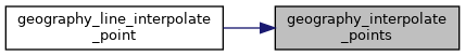
Referenced by geography_line_interpolate_point().
Here is the call graph for this function:
Here is the caller graph for this function: