◆ rt_raster_pixel_as_polygon()
Get a raster pixel as a polygon.
The pixel shape is a 4 vertices (5 to be closed) single ring polygon bearing the raster's rotation and using projection coordinates
- Parameters
-
raster : the raster to get pixel from x : the column number y : the row number
- Returns
- the pixel polygon, or NULL on error.
Definition at line 607 of file rt_geometry.c.
POINTARRAY * ptarray_construct(char hasz, char hasm, uint32_t npoints)
Construct an empty pointarray, allocating storage and setting the npoints, but not filling in any inf...
Definition: ptarray.c:51
LWPOLY * lwpoly_construct(int32_t srid, GBOX *bbox, uint32_t nrings, POINTARRAY **points)
Definition: lwpoly.c:43
void ptarray_set_point4d(POINTARRAY *pa, uint32_t n, const POINT4D *p4d)
Definition: lwgeom_api.c:369
double rt_raster_get_x_offset(rt_raster raster)
Get raster x offset, in projection units.
Definition: rt_raster.c:217
double rt_raster_get_x_scale(rt_raster raster)
Get scale X in projection units.
Definition: rt_raster.c:154
double rt_raster_get_y_scale(rt_raster raster)
Get scale Y in projection units.
Definition: rt_raster.c:163
double rt_raster_get_y_offset(rt_raster raster)
Get raster y offset, in projection units.
Definition: rt_raster.c:226
Definition: liblwgeom.h:517
Definition: liblwgeom.h:413
Definition: liblwgeom.h:426
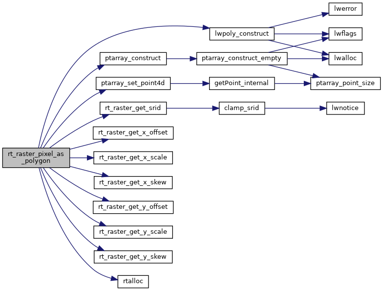
References lwpoly_construct(), ptarray_construct(), ptarray_set_point4d(), rtpixdump::rast, rt_raster_get_srid(), rt_raster_get_x_offset(), rt_raster_get_x_scale(), rt_raster_get_x_skew(), rt_raster_get_y_offset(), rt_raster_get_y_scale(), rt_raster_get_y_skew(), rtalloc(), POINT4D::x, pixval::x, POINT4D::y, and pixval::y.
Referenced by RASTER_getPixelPolygons(), RASTER_nearestValue(), and test_raster_pixel_as_polygon().
Here is the call graph for this function:
Here is the caller graph for this function: