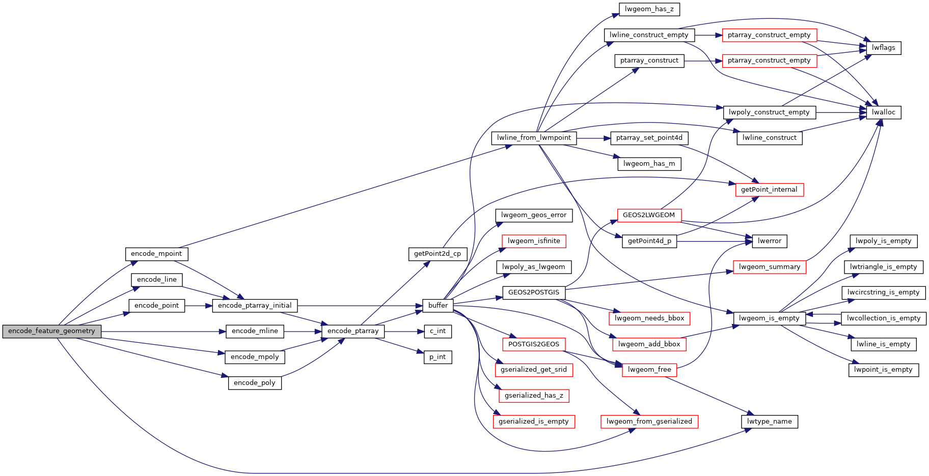
◆ encode_feature_geometry()
|
static |
Definition at line 286 of file mvt.c.
const char * lwtype_name(uint8_t type)
Return the type name string associated with a type number (e.g.
Definition: lwutil.c:216
static void encode_mpoly(struct feature_builder *feature, LWMPOLY *lwmpoly)
Definition: mvt.c:267
static void encode_line(struct feature_builder *feature, LWLINE *lwline)
Definition: mvt.c:225
static void encode_mline(struct feature_builder *feature, LWMLINE *lwmline)
Definition: mvt.c:235
static void encode_poly(struct feature_builder *feature, LWPOLY *lwpoly)
Definition: mvt.c:251
static void encode_point(struct feature_builder *feature, LWPOINT *point)
Definition: mvt.c:205
static void encode_mpoint(struct feature_builder *feature, LWMPOINT *mpoint)
Definition: mvt.c:213
Definition: liblwgeom.h:481
Definition: liblwgeom.h:545
Definition: liblwgeom.h:531
Definition: liblwgeom.h:559
Definition: liblwgeom.h:469
Definition: liblwgeom.h:517
References encode_line(), encode_mline(), encode_mpoint(), encode_mpoly(), encode_point(), encode_poly(), LINETYPE, lwtype_name(), MULTILINETYPE, MULTIPOINTTYPE, MULTIPOLYGONTYPE, POINTTYPE, POLYGONTYPE, LWGEOM::type, and ovdump::type.
Referenced by mvt_agg_transfn().
Here is the call graph for this function:
Here is the caller graph for this function:
