PostGIS  3.4.0dev-r@@SVN_REVISION@@

◆ coveredby()

Datum coveredby ( PG_FUNCTION_ARGS  )

Definition at line 2197 of file postgis/lwgeom_geos.c.

2198 {
2199  SHARED_GSERIALIZED *shared_geom1 = ToastCacheGetGeometry(fcinfo, 0);
2200  SHARED_GSERIALIZED *shared_geom2 = ToastCacheGetGeometry(fcinfo, 1);
2201  const GSERIALIZED *geom1 = shared_gserialized_get(shared_geom1);
2202  const GSERIALIZED *geom2 = shared_gserialized_get(shared_geom2);
2203  GEOSGeometry *g1, *g2;
2204  int result;
2205  GBOX box1, box2;
2206  char *patt = "**F**F***";
2207 
2208  gserialized_error_if_srid_mismatch(geom1, geom2, __func__);
2209 
2210  /* A.CoveredBy(Empty) == FALSE */
2211  if ( gserialized_is_empty(geom1) || gserialized_is_empty(geom2) )
2212  PG_RETURN_BOOL(false);
2213 
2214  /*
2215  * short-circuit 1: if geom1 bounding box is not completely inside
2216  * geom2 bounding box we can return FALSE.
2217  */
2218  if ( gserialized_get_gbox_p(geom1, &box1) &&
2219  gserialized_get_gbox_p(geom2, &box2) )
2220  {
2221  if ( ! gbox_contains_2d(&box2, &box1) )
2222  {
2223  PG_RETURN_BOOL(false);
2224  }
2225 
2226  POSTGIS_DEBUG(3, "bounding box short-circuit missed.");
2227  }
2228  /*
2229  * short-circuit 2: if geom1 is a point and geom2 is a polygon
2230  * call the point-in-polygon function.
2231  */
2232  if (is_point(geom1) && is_poly(geom2))
2233  {
2234  SHARED_GSERIALIZED *shared_gpoly = is_poly(geom1) ? shared_geom1 : shared_geom2;
2235  SHARED_GSERIALIZED *shared_gpoint = is_point(geom1) ? shared_geom1 : shared_geom2;
2236  const GSERIALIZED *gpoly = shared_gserialized_get(shared_gpoly);
2237  const GSERIALIZED *gpoint = shared_gserialized_get(shared_gpoint);
2238  RTREE_POLY_CACHE *cache = GetRtreeCache(fcinfo, shared_gpoly);
2239  int retval;
2240 
2241  POSTGIS_DEBUG(3, "Point in Polygon test requested...short-circuiting.");
2242  if (gserialized_get_type(gpoint) == POINTTYPE)
2243  {
2244  LWGEOM* point = lwgeom_from_gserialized(gpoint);
2245  int pip_result = pip_short_circuit(cache, lwgeom_as_lwpoint(point), gpoly);
2246  lwgeom_free(point);
2247 
2248  retval = (pip_result != -1); /* not outside */
2249  }
2250  else if (gserialized_get_type(gpoint) == MULTIPOINTTYPE)
2251  {
2253  uint32_t i;
2254 
2255  retval = LW_TRUE;
2256  for (i = 0; i < mpoint->ngeoms; i++)
2257  {
2258  int pip_result = pip_short_circuit(cache, mpoint->geoms[i], gpoly);
2259  if (pip_result == -1)
2260  {
2261  retval = LW_FALSE;
2262  break;
2263  }
2264  }
2265 
2266  lwmpoint_free(mpoint);
2267  }
2268  else
2269  {
2270  /* Never get here */
2271  elog(ERROR,"Type isn't point or multipoint!");
2272  PG_RETURN_NULL();
2273  }
2274 
2275  PG_RETURN_BOOL(retval);
2276  }
2277  else
2278  {
2279  POSTGIS_DEBUGF(3, "CoveredBy: type1: %d, type2: %d", gserialized_get_type(geom1), gserialized_get_type(geom2));
2280  }
2281 
2282  initGEOS(lwpgnotice, lwgeom_geos_error);
2283 
2284  g1 = POSTGIS2GEOS(geom1);
2285 
2286  if (!g1)
2287  HANDLE_GEOS_ERROR("First argument geometry could not be converted to GEOS");
2288 
2289  g2 = POSTGIS2GEOS(geom2);
2290 
2291  if (!g2)
2292  {
2293  GEOSGeom_destroy(g1);
2294  HANDLE_GEOS_ERROR("Second argument geometry could not be converted to GEOS");
2295  }
2296 
2297  result = GEOSRelatePattern(g1,g2,patt);
2298 
2299  GEOSGeom_destroy(g1);
2300  GEOSGeom_destroy(g2);
2301 
2302  if (result == 2) HANDLE_GEOS_ERROR("GEOSCoveredBy");
2303 
2304  PG_RETURN_BOOL(result);
2305 }
char result[OUT_DOUBLE_BUFFER_SIZE]
Definition: cu_print.c:262
int gbox_contains_2d(const GBOX *g1, const GBOX *g2)
Return LW_TRUE if the first GBOX contains the second on the 2d plane, LW_FALSE otherwise.
Definition: gbox.c:339
void gserialized_error_if_srid_mismatch(const GSERIALIZED *g1, const GSERIALIZED *g2, const char *funcname)
Definition: gserialized.c:403
int gserialized_get_gbox_p(const GSERIALIZED *g, GBOX *gbox)
Read the box from the GSERIALIZED or calculate it if necessary.
Definition: gserialized.c:65
LWGEOM * lwgeom_from_gserialized(const GSERIALIZED *g)
Allocate a new LWGEOM from a GSERIALIZED.
Definition: gserialized.c:239
int gserialized_is_empty(const GSERIALIZED *g)
Check if a GSERIALIZED is empty without deserializing first.
Definition: gserialized.c:152
uint32_t gserialized_get_type(const GSERIALIZED *g)
Extract the geometry type from the serialized form (it hides in the anonymous data area,...
Definition: gserialized.c:89
void lwgeom_geos_error(const char *fmt,...)
#define LW_FALSE
Definition: liblwgeom.h:94
void lwmpoint_free(LWMPOINT *mpt)
Definition: lwmpoint.c:72
LWMPOINT * lwgeom_as_lwmpoint(const LWGEOM *lwgeom)
Definition: lwgeom.c:242
void lwgeom_free(LWGEOM *geom)
Definition: lwgeom.c:1155
#define MULTIPOINTTYPE
Definition: liblwgeom.h:105
#define POINTTYPE
LWTYPE numbers, used internally by PostGIS.
Definition: liblwgeom.h:102
#define LW_TRUE
Return types for functions with status returns.
Definition: liblwgeom.h:93
RTREE_POLY_CACHE * GetRtreeCache(FunctionCallInfo fcinfo, SHARED_GSERIALIZED *g1)
Checks for a cache hit against the provided geometry and returns a pre-built index structure (RTREE_P...
Definition: lwgeom_rtree.c:432
static LWPOINT * lwgeom_as_lwpoint(const LWGEOM *lwgeom)
Definition: lwinline.h:131
static char is_point(const GSERIALIZED *g)
static int pip_short_circuit(RTREE_POLY_CACHE *poly_cache, LWPOINT *point, const GSERIALIZED *gpoly)
static char is_poly(const GSERIALIZED *g)
GEOSGeometry * POSTGIS2GEOS(const GSERIALIZED *pglwgeom)
#define HANDLE_GEOS_ERROR(label)
uint32_t ngeoms
Definition: liblwgeom.h:538
LWPOINT ** geoms
Definition: liblwgeom.h:533
The tree structure used for fast P-i-P tests by point_in_multipolygon_rtree()
Definition: lwgeom_rtree.h:59

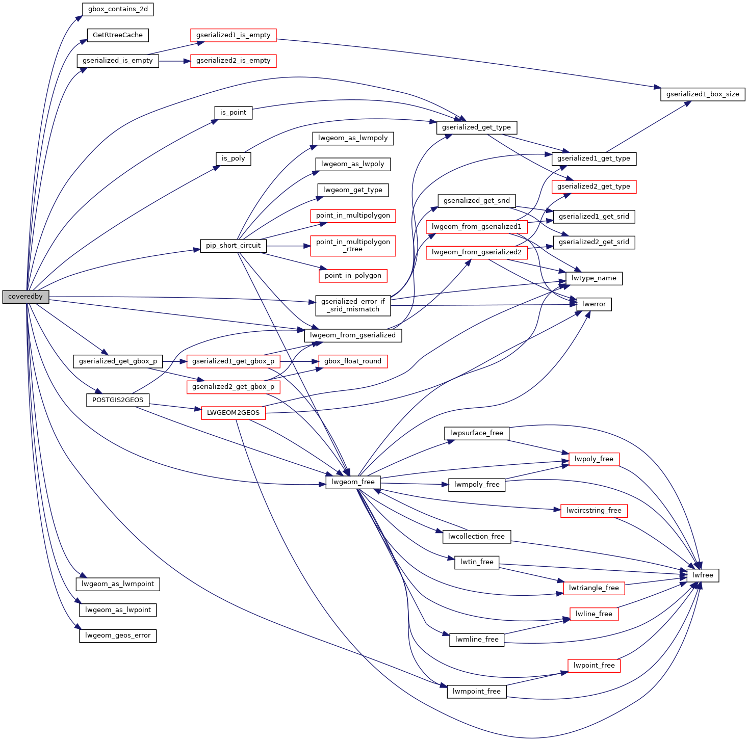
References gbox_contains_2d(), LWMPOINT::geoms, GetRtreeCache(), gserialized_error_if_srid_mismatch(), gserialized_get_gbox_p(), gserialized_get_type(), gserialized_is_empty(), HANDLE_GEOS_ERROR, is_point(), is_poly(), LW_FALSE, LW_TRUE, lwgeom_as_lwmpoint(), lwgeom_as_lwpoint(), lwgeom_free(), lwgeom_from_gserialized(), lwgeom_geos_error(), lwmpoint_free(), MULTIPOINTTYPE, LWMPOINT::ngeoms, pip_short_circuit(), POINTTYPE, POSTGIS2GEOS(), and result.

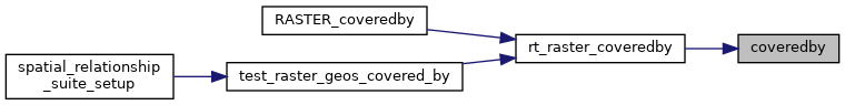
Referenced by rt_raster_coveredby().

Here is the call graph for this function:
Here is the caller graph for this function: