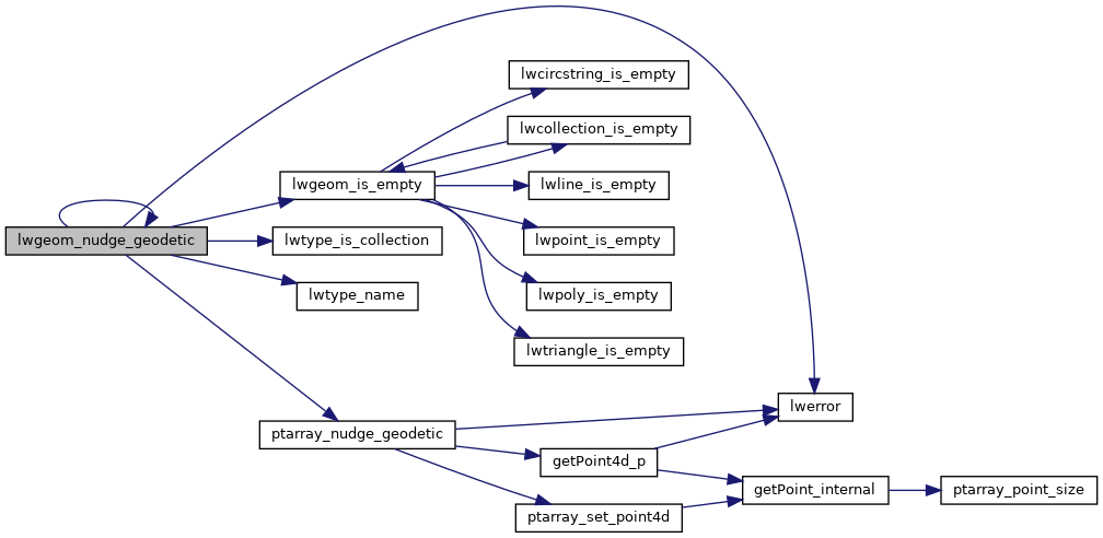
When features are snapped or sometimes they are just this way, they are very close to the geodetic bounds but slightly over.
Gently move coordinates of LWGEOM if they are close enough into geodetic range.
This routine nudges those points, and only those points, back over to the bounds. http://trac.osgeo.org/postgis/ticket/1292
Definition at line 3403 of file lwgeodetic.c.
3426 for ( i = 0; i < poly->
nrings; i++ )
3429 rv = (rv ==
LW_TRUE ? rv : n);
3441 for ( i = 0; i < col->
ngeoms; i++ )
3444 rv = (rv ==
LW_TRUE ? rv : n);
int lwtype_is_collection(uint8_t type)
Determine whether a type number is a collection or not.
#define POINTTYPE
LWTYPE numbers, used internally by PostGIS.
const char * lwtype_name(uint8_t type)
Return the type name string associated with a type number (e.g.
#define LW_TRUE
Return types for functions with status returns.
int lwgeom_nudge_geodetic(LWGEOM *geom)
When features are snapped or sometimes they are just this way, they are very close to the geodetic bo...
static int ptarray_nudge_geodetic(POINTARRAY *pa)
When features are snapped or sometimes they are just this way, they are very close to the geodetic bo...
void lwerror(const char *fmt,...)
Write a notice out to the error handler.
static int lwgeom_is_empty(const LWGEOM *geom)
Return true or false depending on whether a geometry is an "empty" geometry (no vertices members)
References LWCOLLECTION::geoms, LINETYPE, LW_FALSE, LW_TRUE, lwerror(), lwgeom_is_empty(), lwgeom_nudge_geodetic(), lwtype_is_collection(), lwtype_name(), LWCOLLECTION::ngeoms, LWPOLY::nrings, POINTTYPE, POLYGONTYPE, ptarray_nudge_geodetic(), LWPOLY::rings, TRIANGLETYPE, LWGEOM::type, and ovdump::type.
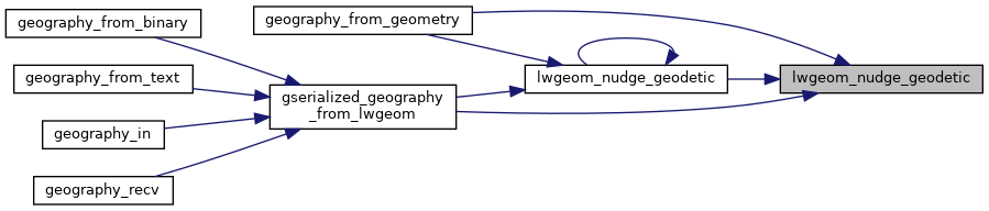
Referenced by geography_from_geometry(), gserialized_geography_from_lwgeom(), and lwgeom_nudge_geodetic().