◆ rt_raster_geopoint_to_cell()
| rt_errorstate rt_raster_geopoint_to_cell | ( | rt_raster | raster, |
| double | xw, | ||
| double | yw, | ||
| double * | xr, | ||
| double * | yr, | ||
| double * | igt | ||
| ) |
Convert an xw,yw map point to a xr,yr cell coordinate.
Convert an xw, yw map point to a xr, yr raster point.
- Parameters
-
raster : the raster to get info from xw : X ordinate of the geographical point yw : Y ordinate of the geographical point xr : output parameter, the pixel's column yr : output parameter, the pixel's row igt : input/output parameter, inverse geotransform matrix
- Returns
- ES_NONE if success, ES_ERROR if error
Definition at line 808 of file rt_raster.c.
raster
Be careful!! Zeros function's input parameter can be a (height x width) array, not (width x height): ...
Definition: rtrowdump.py:121
rt_errorstate rt_raster_geopoint_to_rasterpoint(rt_raster raster, double xw, double yw, double *xr, double *yr, double *igt)
Convert an xw,yw map point to a xr,yr raster point.
Definition: rt_raster.c:852
References ES_NONE, FLT_EQ, rtrowdump::raster, RASTER_DEBUGF, ROUND, and rt_raster_geopoint_to_rasterpoint().
Referenced by RASTER_nearestValue(), RASTER_setPixelValuesGeomval(), RASTER_worldToRasterCoord(), rt_band_load_offline_data(), rt_raster_compute_skewed_raster(), rt_raster_from_two_rasters(), rt_raster_gdal_rasterize(), rt_raster_gdal_warp(), rt_raster_intersects(), rt_raster_intersects_algorithm(), rt_raster_same_alignment(), and test_raster_geopoint_to_cell().
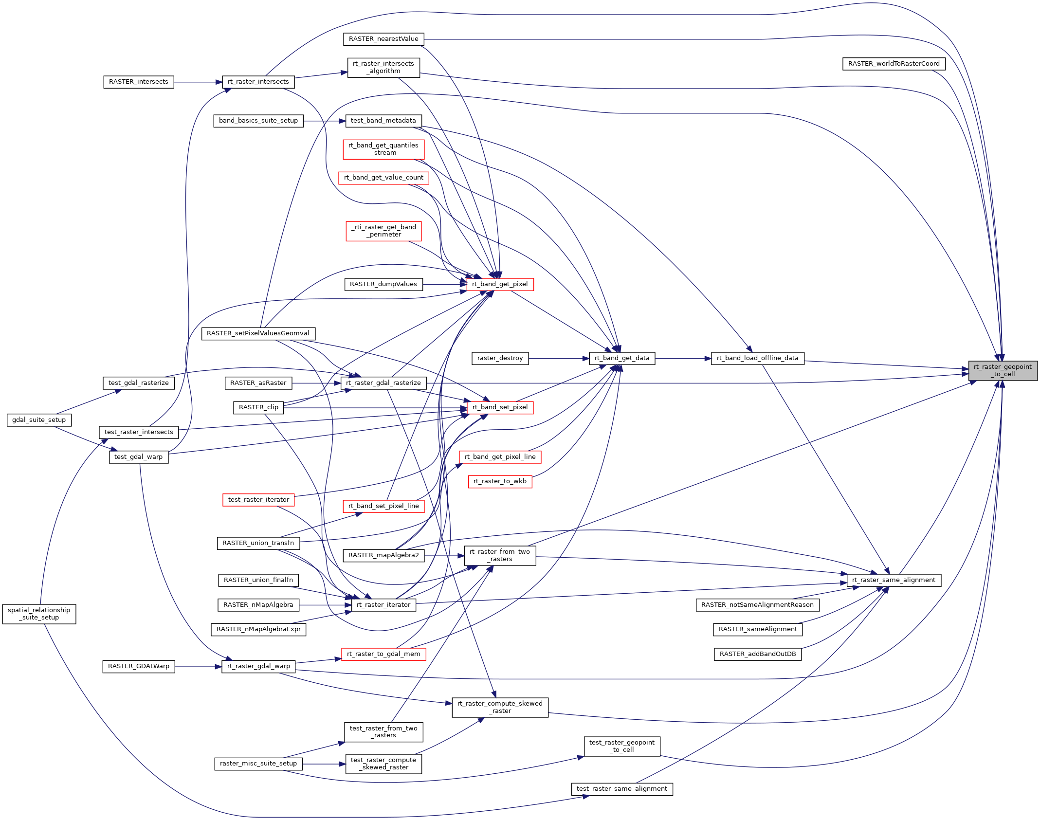
Here is the call graph for this function:
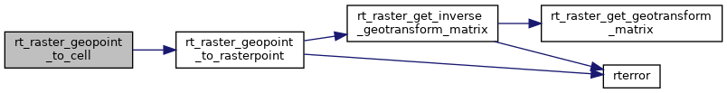
Here is the caller graph for this function: