◆ lwgeom_check_geodetic()
| int lwgeom_check_geodetic | ( | const LWGEOM * | geom | ) |
Check that coordinates of LWGEOM are all within the geodetic range (-180, -90, 180, 90)
Definition at line 2971 of file lwgeodetic.c.
const char * lwtype_name(uint8_t type)
Return the type name string associated with a type number (e.g.
Definition: lwutil.c:216
static int lwline_check_geodetic(const LWLINE *line)
Definition: lwgeodetic.c:2932
static int lwcollection_check_geodetic(const LWCOLLECTION *col)
Definition: lwgeodetic.c:2958
static int lwpoly_check_geodetic(const LWPOLY *poly)
Definition: lwgeodetic.c:2938
static int lwtriangle_check_geodetic(const LWTRIANGLE *triangle)
Definition: lwgeodetic.c:2951
static int lwpoint_check_geodetic(const LWPOINT *point)
Definition: lwgeodetic.c:2926
static int lwgeom_is_empty(const LWGEOM *geom)
Return true or false depending on whether a geometry is an "empty" geometry (no vertices members)
Definition: lwinline.h:203
Definition: liblwgeom.h:588
Definition: liblwgeom.h:496
Definition: liblwgeom.h:484
Definition: liblwgeom.h:532
Definition: liblwgeom.h:508
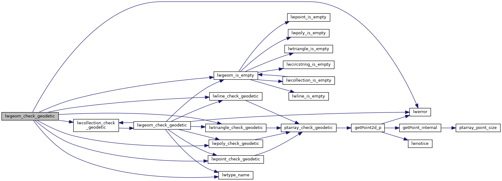
References COLLECTIONTYPE, LINETYPE, LW_FALSE, LW_TRUE, lwcollection_check_geodetic(), lwerror(), lwgeom_is_empty(), lwline_check_geodetic(), lwpoint_check_geodetic(), lwpoly_check_geodetic(), lwtriangle_check_geodetic(), lwtype_name(), MULTILINETYPE, MULTIPOINTTYPE, MULTIPOLYGONTYPE, POINTTYPE, POLYGONTYPE, POLYHEDRALSURFACETYPE, TINTYPE, TRIANGLETYPE, LWGEOM::type, and LWPOINT::type.
Referenced by lwcollection_check_geodetic(), and test_lwgeom_check_geodetic().
Here is the call graph for this function:

Here is the caller graph for this function:
