PostGIS  3.3.9dev-r@@SVN_REVISION@@

◆ lwpoly_check_geodetic()

static int lwpoly_check_geodetic ( const LWPOLY poly)
static

Definition at line 2938 of file lwgeodetic.c.

2939 {
2940  uint32_t i = 0;
2941  assert(poly);
2942 
2943  for ( i = 0; i < poly->nrings; i++ )
2944  {
2945  if ( ptarray_check_geodetic(poly->rings[i]) == LW_FALSE )
2946  return LW_FALSE;
2947  }
2948  return LW_TRUE;
2949 }
#define LW_FALSE
Definition: liblwgeom.h:109
#define LW_TRUE
Return types for functions with status returns.
Definition: liblwgeom.h:108
static int ptarray_check_geodetic(const POINTARRAY *pa)
Definition: lwgeodetic.c:2908
POINTARRAY ** rings
Definition: liblwgeom.h:534
uint32_t nrings
Definition: liblwgeom.h:539

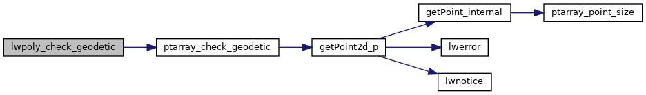
References LW_FALSE, LW_TRUE, LWPOLY::nrings, ptarray_check_geodetic(), and LWPOLY::rings.

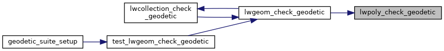
Referenced by lwgeom_check_geodetic().

Here is the call graph for this function:
Here is the caller graph for this function: