PostGIS  3.3.9dev-r@@SVN_REVISION@@

◆ distance2d_sqr_pt_seg()

double distance2d_sqr_pt_seg ( const POINT2D C,
const POINT2D A,
const POINT2D B 
)

Definition at line 2364 of file measures.c.

2365 {
2366  /*if start==end, then use pt distance */
2367  if ((A->x == B->x) && (A->y == B->y))
2368  return distance2d_sqr_pt_pt(C, A);
2369 
2370  /*
2371  * otherwise, we use comp.graphics.algorithms
2372  * Frequently Asked Questions method
2373  *
2374  * (1) AC dot AB
2375  * r = ---------
2376  * ||AB||^2
2377  * r has the following meaning:
2378  * r=0 P = A
2379  * r=1 P = B
2380  * r<0 P is on the backward extension of AB
2381  * r>1 P is on the forward extension of AB
2382  * 0<r<1 P is interior to AB
2383  */
2384 
2385  double ba_x = (B->x - A->x);
2386  double ba_y = (B->y - A->y);
2387  double ab_length_sqr = (ba_x * ba_x + ba_y * ba_y);
2388  double ca_x = (C->x - A->x);
2389  double ca_y = (C->y - A->y);
2390  double dot_ac_ab = (ca_x * ba_x + ca_y * ba_y);
2391 
2392  if (dot_ac_ab <= 0)
2393  return distance2d_sqr_pt_pt(C, A);
2394  if (dot_ac_ab >= ab_length_sqr)
2395  return distance2d_sqr_pt_pt(C, B);
2396 
2397  /*
2398  * (2)
2399  * (Ay-Cy)(Bx-Ax)-(Ax-Cx)(By-Ay)
2400  * s = -----------------------------
2401  * L^2
2402  *
2403  * Then the distance from C to P = |s|*L.
2404  *
2405  */
2406 
2407  double s_numerator = ca_x * ba_y - ca_y * ba_x;
2408 
2409  /* Distance = (s_num / ab) * (s_num / ab) * ab == s_num * s_num / ab) */
2410  return s_numerator * s_numerator / ab_length_sqr;
2411 }
static double distance2d_sqr_pt_pt(const POINT2D *p1, const POINT2D *p2)
Definition: lwinline.h:35
double y
Definition: liblwgeom.h:405
double x
Definition: liblwgeom.h:405

References distance2d_sqr_pt_pt(), POINT2D::x, and POINT2D::y.

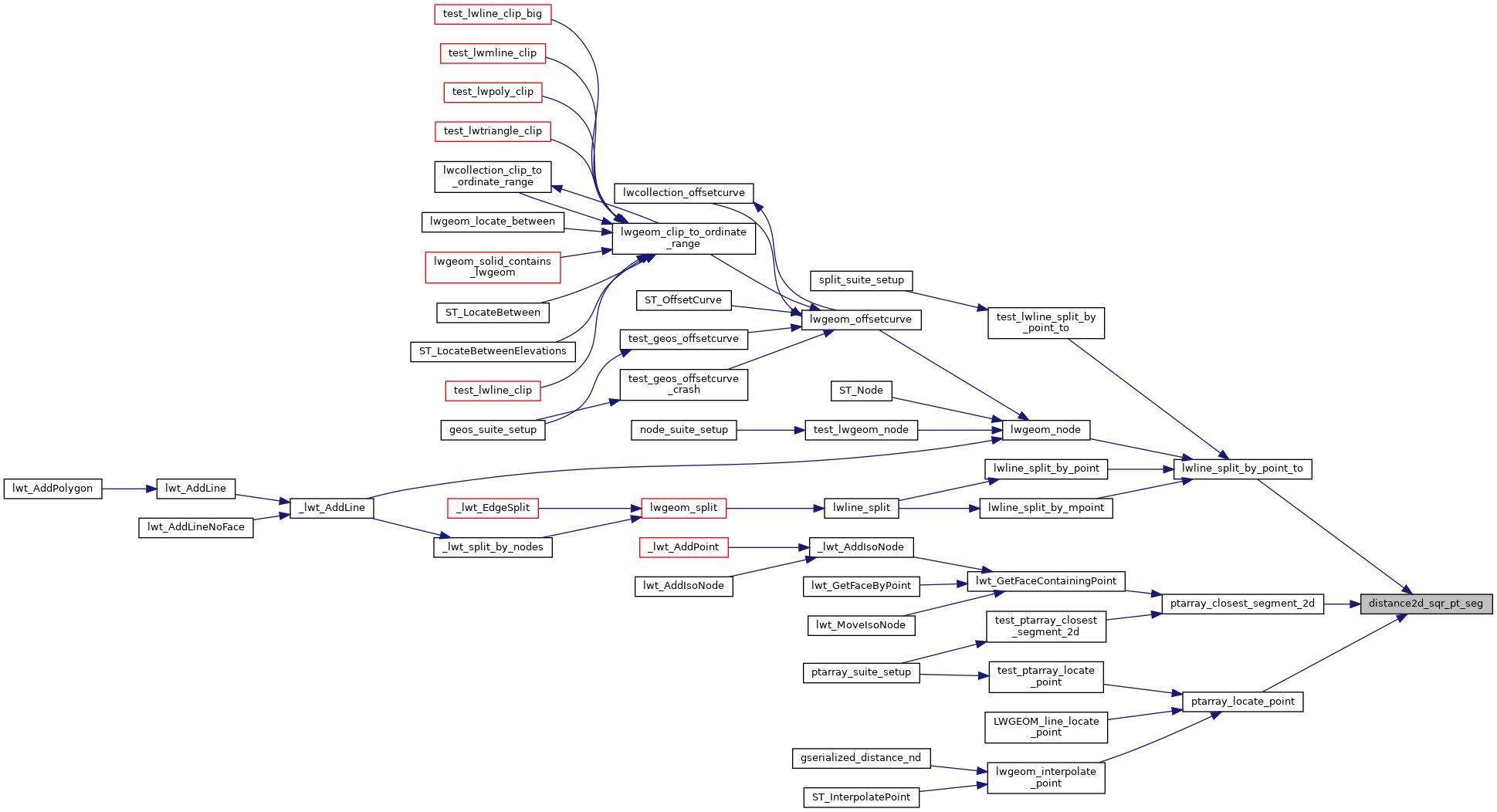
Referenced by lwline_split_by_point_to(), ptarray_closest_segment_2d(), and ptarray_locate_point().

Here is the call graph for this function:
Here is the caller graph for this function: