Loading...
Searching...
No Matches
◆ lw_dist3d_line_poly()
line to polygon calculation
Definition at line 803 of file measures3d.c.
804{
805 PLANE3D plane;
807
810
811 /* if polygon does not define a plane: Return distance line to line */
814
816}
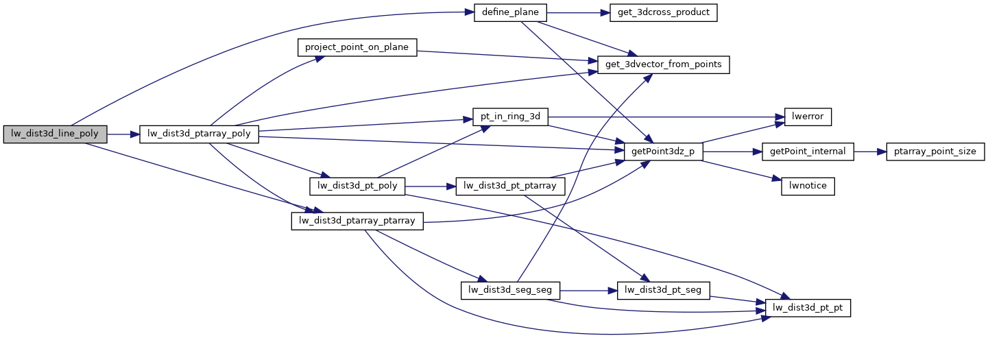
int lw_dist3d_ptarray_poly(POINTARRAY *pa, LWPOLY *poly, PLANE3D *plane, DISTPTS3D *dl)
Computes pointarray to polygon distance.
Definition measures3d.c:1293
int lw_dist3d_ptarray_ptarray(POINTARRAY *l1, POINTARRAY *l2, DISTPTS3D *dl)
Finds all combinations of segments between two pointarrays.
Definition measures3d.c:1088
Definition measures3d.h:56
References define_plane(), DIST_MAX, lw_dist3d_ptarray_poly(), lw_dist3d_ptarray_ptarray(), LWDEBUG, DISTPTS3D::mode, LWLINE::points, and LWPOLY::rings.
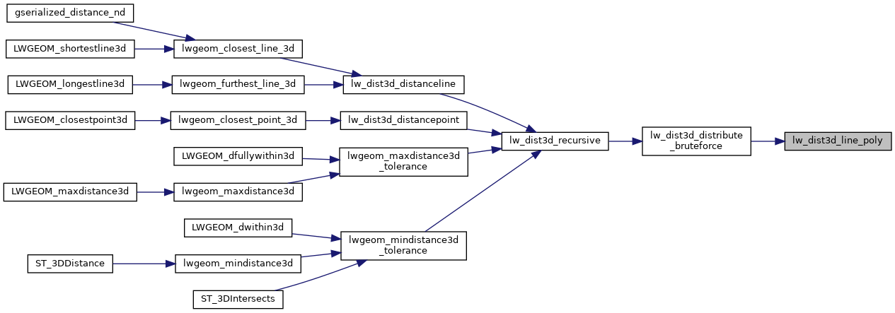
Referenced by lw_dist3d_distribute_bruteforce().
Here is the call graph for this function:
Here is the caller graph for this function: